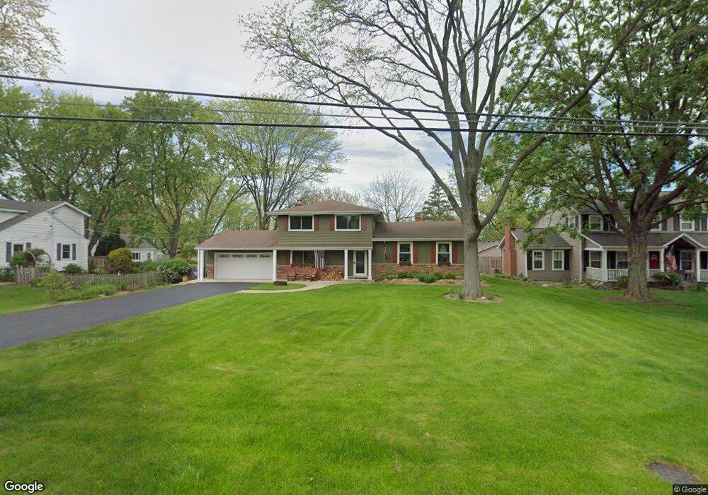
1733 Kay Rd Wheaton, IL 60187
Hawthorne NeighborhoodEstimated Value: $573,898 - $790,000
3
Beds
3
Baths
2,058
Sq Ft
$333/Sq Ft
Est. Value
About This Home
This home is located at 1733 Kay Rd, Wheaton, IL 60187 and is currently estimated at $684,475, approximately $332 per square foot. 1733 Kay Rd is a home located in DuPage County with nearby schools including Churchill Elementary School, Hadley Junior High School, and Glenbard West High School.
Ownership History
Date
Name
Owned For
Owner Type
Purchase Details
Closed on
May 27, 2025
Sold by
Orr Robert and Orr Amy
Bought by
Robert H Orr Declaration Of Trust and Amy K Orr Declaration Of Trust
Current Estimated Value
Purchase Details
Closed on
Jun 10, 2010
Sold by
Wilson Mike and Wilson June
Bought by
Orr Robert and Orr Amy
Home Financials for this Owner
Home Financials are based on the most recent Mortgage that was taken out on this home.
Original Mortgage
$340,000
Interest Rate
4.97%
Mortgage Type
New Conventional
Purchase Details
Closed on
Apr 11, 2003
Sold by
Leonard Gordon F and Leonard Joyce M
Bought by
Wilson Mike and Wilson June
Home Financials for this Owner
Home Financials are based on the most recent Mortgage that was taken out on this home.
Original Mortgage
$225,000
Interest Rate
5.87%
Create a Home Valuation Report for This Property
The Home Valuation Report is an in-depth analysis detailing your home's value as well as a comparison with similar homes in the area
Home Values in the Area
Average Home Value in this Area
Purchase History
| Date | Buyer | Sale Price | Title Company |
|---|---|---|---|
| Robert H Orr Declaration Of Trust | -- | None Listed On Document | |
| Orr Robert | $425,000 | Pntn | |
| Wilson Mike | $360,000 | Chicago Title Insurance Comp |
Source: Public Records
Mortgage History
| Date | Status | Borrower | Loan Amount |
|---|---|---|---|
| Previous Owner | Orr Robert | $340,000 | |
| Previous Owner | Wilson Mike | $225,000 |
Source: Public Records
Tax History
| Year | Tax Paid | Tax Assessment Tax Assessment Total Assessment is a certain percentage of the fair market value that is determined by local assessors to be the total taxable value of land and additions on the property. | Land | Improvement |
|---|---|---|---|---|
| 2024 | $11,956 | $176,138 | $44,434 | $131,704 |
| 2023 | $11,473 | $162,130 | $40,900 | $121,230 |
| 2022 | $11,068 | $153,220 | $38,650 | $114,570 |
| 2021 | $10,706 | $149,580 | $37,730 | $111,850 |
| 2020 | $10,547 | $148,190 | $37,380 | $110,810 |
| 2019 | $10,298 | $144,280 | $36,390 | $107,890 |
| 2018 | $7,909 | $111,000 | $34,300 | $76,700 |
| 2017 | $7,790 | $106,900 | $33,030 | $73,870 |
| 2016 | $7,890 | $102,630 | $31,710 | $70,920 |
| 2015 | $7,859 | $97,910 | $30,250 | $67,660 |
| 2014 | $8,443 | $101,600 | $29,540 | $72,060 |
| 2013 | $8,238 | $101,910 | $29,630 | $72,280 |
Source: Public Records
Map
Nearby Homes
- 300 Geneva Rd
- 831 Avon Ct
- 333 Elm St
- 835 Avon Ct
- 1603 Ashton Ct
- 1906 N Summit St
- 731 Western Ave
- 2009 Mackenzie Place
- 1017 Tartan Ct
- 491 Timber Ridge Dr Unit 102
- 511 Timber Ridge Dr Unit 202A
- 462 S President St Unit 302
- 671 Prairie Ave
- 464 S President St Unit 204
- 1607 Stoddard Ave
- 488 Newton Ave
- 266 Shorewood Dr Unit 2A
- 540 Elm St
- 1111 Bloomingdale Rd Unit 2A
- 465 Cottage Ave
Your Personal Tour Guide
Ask me questions while you tour the home.