17335 293rd St Red Wing, MN 55066
Estimated Value: $331,000 - $470,000
3
Beds
2
Baths
1,602
Sq Ft
$261/Sq Ft
Est. Value
About This Home
This home is located at 17335 293rd St, Red Wing, MN 55066 and is currently estimated at $417,657, approximately $260 per square foot. 17335 293rd St is a home located in Goodhue County with nearby schools including Burnside Elementary School, Sunnyside Elementary School, and Twin Bluff Middle School.
Ownership History
Date
Name
Owned For
Owner Type
Purchase Details
Closed on
Apr 13, 2022
Sold by
Hawthorne Holdings Llc
Bought by
Groth Lyndon and Groth Colleen
Current Estimated Value
Home Financials for this Owner
Home Financials are based on the most recent Mortgage that was taken out on this home.
Original Mortgage
$149,254
Outstanding Balance
$139,453
Interest Rate
3.76%
Mortgage Type
New Conventional
Estimated Equity
$278,204
Purchase Details
Closed on
Sep 5, 2008
Sold by
Caberallo Llc
Bought by
Groth Lyndon C
Home Financials for this Owner
Home Financials are based on the most recent Mortgage that was taken out on this home.
Original Mortgage
$153,000
Interest Rate
7.5%
Mortgage Type
Land Contract Argmt. Of Sale
Purchase Details
Closed on
Oct 9, 1992
Sold by
Roers Paul F
Bought by
Gillen Carol
Create a Home Valuation Report for This Property
The Home Valuation Report is an in-depth analysis detailing your home's value as well as a comparison with similar homes in the area
Home Values in the Area
Average Home Value in this Area
Purchase History
| Date | Buyer | Sale Price | Title Company |
|---|---|---|---|
| Groth Lyndon | $149,254 | -- | |
| Groth Lyndon C | $161,000 | -- | |
| Gillen Carol | $65,000 | -- |
Source: Public Records
Mortgage History
| Date | Status | Borrower | Loan Amount |
|---|---|---|---|
| Open | Groth Lyndon | $149,254 | |
| Previous Owner | Groth Lyndon C | $153,000 | |
| Closed | Gillen Carol | -- |
Source: Public Records
Tax History Compared to Growth
Tax History
| Year | Tax Paid | Tax Assessment Tax Assessment Total Assessment is a certain percentage of the fair market value that is determined by local assessors to be the total taxable value of land and additions on the property. | Land | Improvement |
|---|---|---|---|---|
| 2025 | $2,610 | $371,400 | $193,000 | $178,400 |
| 2024 | -- | $354,300 | $193,000 | $161,300 |
| 2023 | $2,190 | $296,500 | $170,800 | $125,700 |
| 2022 | $2,320 | $267,000 | $155,900 | $111,100 |
| 2021 | $2,348 | $258,000 | $147,900 | $110,100 |
| 2020 | $2,246 | $250,100 | $147,800 | $102,300 |
| 2019 | $2,152 | $226,600 | $142,500 | $84,100 |
| 2018 | $1,760 | $208,600 | $137,100 | $71,500 |
| 2017 | $1,642 | $198,600 | $127,100 | $71,500 |
| 2016 | $1,424 | $188,500 | $121,800 | $66,700 |
| 2015 | $1,732 | $179,800 | $121,800 | $58,000 |
| 2014 | -- | $210,300 | $136,800 | $73,500 |
Source: Public Records
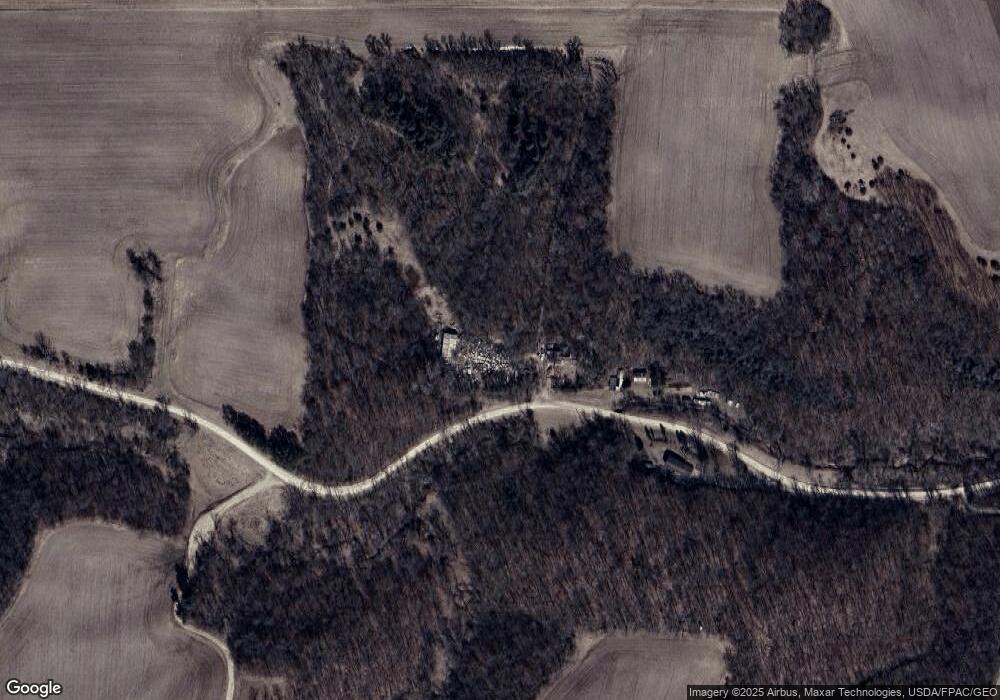
Map
Nearby Homes
- 111 Route 19
- 28668 Mn-19
- 31819 County 7 Blvd
- TBD Mill Rd
- 4958 Chalet Ct
- 4990 Chalet Ct
- 4994 Chalet Ct
- 4986 Chalet Ct
- 4976 Chalet Ct
- 914 Snowbird Dr
- 910 Snowbird Dr
- 921 Snowbird Dr
- 906 Snowbird Dr
- 4786 Mount Hood Ln
- 1056 Birch Ave
- 4739 Big Sky Ct
- 31283 210th Ave
- 912 Aurora Cir
- 808 Aurora Cir
- 853 Aurora Cir
- 17430 293rd St
- 17600 293rd St
- 29251 Highway 19 Blvd
- 29312 Highway 19 Blvd
- 29440 Highway 19 Blvd
- 29310 Highway 19 Blvd
- 29165 Highway 19 Blvd
- 29308 Highway 19 Blvd
- 29049 Highway 19 Blvd
- 29950 Highway 19 Blvd
- 17276 County 41 Blvd
- 17674 County 41 Blvd
- 30239 Highway 19 Blvd
- 30239 Highway 19 Blvd
- 17510 County 41 Blvd
- 29269 Smaland Rd
- 17676 County 41 Blvd
- 17531 County 41 Blvd
- 30240 Highway 19 Blvd
- 16973 County 41 Blvd