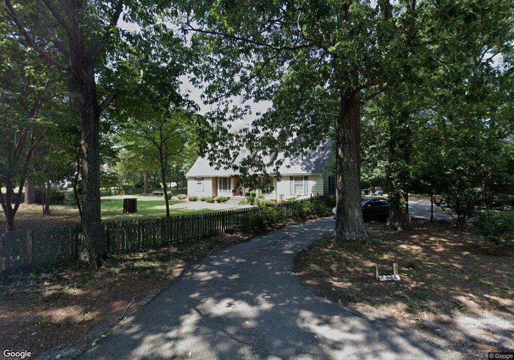
1734 Gloucester Rd Gloucester Point, VA 23062
Estimated Value: $442,177 - $536,000
4
Beds
3
Baths
2,344
Sq Ft
$206/Sq Ft
Est. Value
About This Home
This home is located at 1734 Gloucester Rd, Gloucester Point, VA 23062 and is currently estimated at $483,544, approximately $206 per square foot. 1734 Gloucester Rd is a home located in Gloucester County with nearby schools including Abingdon Elementary School, Page Middle School, and Gloucester High School.
Ownership History
Date
Name
Owned For
Owner Type
Purchase Details
Closed on
Jul 5, 2005
Sold by
Tuner Patrick F and Tuner Ruth O
Bought by
Brush Robert Charles and Brush Teckla Fraser
Current Estimated Value
Home Financials for this Owner
Home Financials are based on the most recent Mortgage that was taken out on this home.
Original Mortgage
$59,980
Interest Rate
5.67%
Mortgage Type
Stand Alone Second
Create a Home Valuation Report for This Property
The Home Valuation Report is an in-depth analysis detailing your home's value as well as a comparison with similar homes in the area
Home Values in the Area
Average Home Value in this Area
Purchase History
| Date | Buyer | Sale Price | Title Company |
|---|---|---|---|
| Brush Robert Charles | $299,900 | None Available |
Source: Public Records
Mortgage History
| Date | Status | Borrower | Loan Amount |
|---|---|---|---|
| Closed | Brush Robert Charles | $59,980 | |
| Open | Brush Robert Charles | $239,920 |
Source: Public Records
Tax History
| Year | Tax Paid | Tax Assessment Tax Assessment Total Assessment is a certain percentage of the fair market value that is determined by local assessors to be the total taxable value of land and additions on the property. | Land | Improvement |
|---|---|---|---|---|
| 2025 | $2,374 | $380,520 | $87,150 | $293,370 |
| 2024 | $2,374 | $380,520 | $87,150 | $293,370 |
| 2023 | $2,257 | $380,520 | $87,150 | $293,370 |
| 2022 | $2,212 | $300,960 | $84,490 | $216,470 |
| 2021 | $2,122 | $300,960 | $84,490 | $216,470 |
| 2020 | $2,122 | $300,960 | $84,490 | $216,470 |
| 2019 | $1,906 | $270,420 | $84,080 | $186,340 |
| 2017 | $1,906 | $270,420 | $84,080 | $186,340 |
| 2016 | $2,055 | $291,520 | $84,080 | $207,440 |
| 2015 | $2,012 | $315,400 | $58,000 | $257,400 |
| 2014 | $937 | $315,400 | $58,000 | $257,400 |
Source: Public Records
Map
Nearby Homes
- 8157 O Carra Dr
- 7547 Villa Ct
- 2038 Kathleen Place
- 1399 Mercer Rd
- 7699 the Points Place Unit 1002
- 7746 Farmwood Rd
- 7763 Jordan Rd
- Par A Hayes Rd
- 7823 Sunset Dr Unit 6F
- 7159 Stokes Dr
- 7873 Sunset Dr Unit 3E
- 7180 Cooks View Ln
- 8003 Sunset Dr Unit 1E
- .51ac George Washington Memorial Hwy
- 000 George Washington Memorial Hwy
- 17 George Washington Memorial Hwy
- 8007 Sunset Dr Unit 1C
- 2022 Swiss Ln
- 2135 Nicole Dr
- 2795 George Washington Memorial Hwy
- 1671 Tyndall Point Rd
- 1671 Tyndall Point Rd
- 1750 Gloucester Rd
- 1670 Tyndall Point Rd
- 1743 Gloucester Rd
- 1635 Tyndall Point Rd
- 1760 Gloucester Rd
- 1642 Tyndall Point Rd
- 1753 Gloucester Rd
- 1681 Tyndall Point Rd
- 1768 Gloucester Rd
- 1711 Tyndall Point Rd
- 1626 Tyndall Point Rd
- 1619 Tyndall Point Rd
- 1769 Gloucester Rd
- 1714 Duke Rd
- 1729 Tyndall Point Rd
- 1778 Gloucester Rd
- 1741 Tyndall Point Rd
- 1704 Duke Rd
Your Personal Tour Guide
Ask me questions while you tour the home.