Estimated Value: $125,000 - $338,000
2
Beds
1
Bath
1,008
Sq Ft
$205/Sq Ft
Est. Value
About This Home
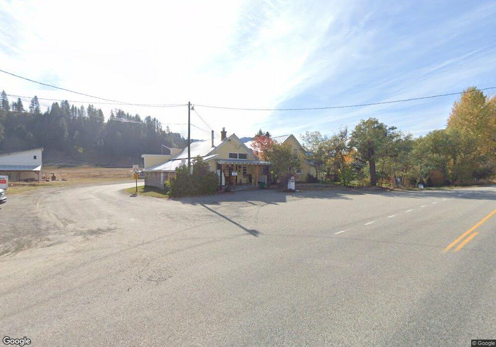
This home is located at 17342 N Highway 21, Malo, WA 99150 and is currently estimated at $206,167, approximately $204 per square foot. 17342 N Highway 21 is a home located in Ferry County with nearby schools including Republic Elementary School, Republic Junior High School, and Republic Senior High School.
Ownership History
Date
Name
Owned For
Owner Type
Purchase Details
Closed on
Apr 23, 2018
Sold by
Scraper John D
Bought by
Stotts John L and Stotts Leslie A
Current Estimated Value
Purchase Details
Closed on
Jun 27, 2007
Sold by
Stotts John L and Stotts Leslie A
Bought by
Stotts Tom
Purchase Details
Closed on
May 5, 2004
Sold by
Hathaway Roy H and Hathaway Velma
Bought by
Stotts John L and Stotts Leslie A
Purchase Details
Closed on
Apr 22, 1992
Sold by
Hathaway Roy H and Hathaway Velma
Bought by
Lafrance Glenn and Lafrance Margaret
Purchase Details
Closed on
Sep 21, 1987
Sold by
Hathaway Roy H and Hathaway Velma
Bought by
Stotts John L and Stotts Leslie A
Purchase Details
Closed on
Apr 7, 1982
Sold by
Stotts
Bought by
Hathaway Roy H and Hathaway Margaret J
Purchase Details
Closed on
Dec 1, 1978
Sold by
Stotts
Bought by
Hathaway Roy H and Hathaway Margaret J
Create a Home Valuation Report for This Property
The Home Valuation Report is an in-depth analysis detailing your home's value as well as a comparison with similar homes in the area
Home Values in the Area
Average Home Value in this Area
Purchase History
| Date | Buyer | Sale Price | Title Company |
|---|---|---|---|
| Stotts John L | $50,445 | -- | |
| Stotts Tom | -- | -- | |
| Stotts John L | -- | -- | |
| Scraper John D | $60,000 | -- | |
| Lafrance Glenn | -- | -- | |
| Stotts John L | $25,000 | -- | |
| Stotts John L | -- | -- | |
| Hathaway Roy H | -- | -- | |
| Hathaway Roy H | $8,000 | -- |
Source: Public Records
Tax History Compared to Growth
Tax History
| Year | Tax Paid | Tax Assessment Tax Assessment Total Assessment is a certain percentage of the fair market value that is determined by local assessors to be the total taxable value of land and additions on the property. | Land | Improvement |
|---|---|---|---|---|
| 2025 | $826 | $92,600 | $24,900 | $67,700 |
| 2024 | $705 | $76,600 | $18,000 | $58,600 |
| 2023 | $726 | $74,900 | $18,000 | $56,900 |
| 2022 | $803 | $75,900 | $32,000 | $43,900 |
| 2021 | $735 | $75,900 | $32,000 | $43,900 |
| 2020 | $687 | $64,200 | $32,000 | $32,200 |
| 2019 | $673 | $62,700 | $28,000 | $34,700 |
| 2018 | $684 | $60,700 | $26,000 | $34,700 |
| 2017 | $637 | $58,700 | $24,000 | $34,700 |
| 2016 | $619 | $58,700 | $24,000 | $34,700 |
| 2015 | $637 | $58,700 | $24,000 | $34,700 |
| 2014 | -- | $59,700 | $25,000 | $34,700 |
Source: Public Records
Map
Nearby Homes
- 17320 N Highway 21
- 18 Robin Rd
- 68 Jostin Ln
- 0 Lambert Creek Rd
- 0 TBD Cromwell Rd
- TBD Cromwell Rd
- 0 Lot 3 Trestle View Place
- TBD Trestle View Place
- 7 Bremner Ln
- TBD Lambert Creek Rd
- 17 Kingsford Place
- 181 N Empire Creek Rd
- 139 Empire Creek St
- 139 N Empire Creek Rd
- 0 Dollar Bar Beach Rd
- TBD Dollar Bar Beach Rd
- 54 Hardrock Rd
- 0 Lot 12 Lambert Mt Rd
- 81 Rose Valley Rd
- 839 Trout Creek Rd
- 17341 N Highway 21
- 22 Hilliard Ranch Rd
- 17326 N Highway 21
- 0 Hillard Ranch Rd
- Lot 4 Hillard Ranch Rd
- 17356 N Highway 21
- 17320 Washington 21
- 17320 HWY N 21
- 17320 Washington 21
- 17320 Washington 21
- 26 Malo Lake Rd
- 3333333 Malo Lake Rd
- 4 Malo Lake Rd
- XX Tucker Rd
- 44 Tucker Rd
- 28 Malo Lake Rd
- TBD Tucker Rd
- 555555 Tucker Rd
- 95 Tucker Rd