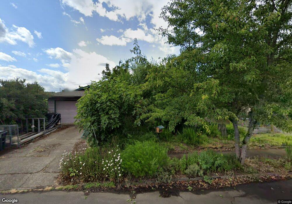
1735 NW Arthur Cir Corvallis, OR 97330
Northwest Corvallis NeighborhoodEstimated Value: $512,585 - $556,000
3
Beds
2
Baths
1,673
Sq Ft
$318/Sq Ft
Est. Value
About This Home
This home is located at 1735 NW Arthur Cir, Corvallis, OR 97330 and is currently estimated at $532,646, approximately $318 per square foot. 1735 NW Arthur Cir is a home located in Benton County with nearby schools including Garfield Elementary School, Linus Pauling Middle School, and Corvallis High School.
Ownership History
Date
Name
Owned For
Owner Type
Purchase Details
Closed on
Jun 14, 2004
Sold by
Martinez James Patrick
Bought by
Ocamb Cynthia Marie
Current Estimated Value
Home Financials for this Owner
Home Financials are based on the most recent Mortgage that was taken out on this home.
Original Mortgage
$123,000
Outstanding Balance
$60,490
Interest Rate
6.09%
Mortgage Type
Unknown
Estimated Equity
$472,156
Create a Home Valuation Report for This Property
The Home Valuation Report is an in-depth analysis detailing your home's value as well as a comparison with similar homes in the area
Home Values in the Area
Average Home Value in this Area
Purchase History
| Date | Buyer | Sale Price | Title Company |
|---|---|---|---|
| Ocamb Cynthia Marie | -- | Amerititle |
Source: Public Records
Mortgage History
| Date | Status | Borrower | Loan Amount |
|---|---|---|---|
| Open | Ocamb Cynthia Marie | $123,000 | |
| Closed | Ocamb Cynthia Marie | $32,000 |
Source: Public Records
Tax History Compared to Growth
Tax History
| Year | Tax Paid | Tax Assessment Tax Assessment Total Assessment is a certain percentage of the fair market value that is determined by local assessors to be the total taxable value of land and additions on the property. | Land | Improvement |
|---|---|---|---|---|
| 2024 | $4,892 | $254,668 | -- | -- |
| 2023 | $4,606 | $247,250 | $0 | $0 |
| 2022 | $4,472 | $240,049 | $0 | $0 |
| 2021 | $4,324 | $233,057 | $0 | $0 |
| 2020 | $4,246 | $226,269 | $0 | $0 |
| 2019 | $3,964 | $219,679 | $0 | $0 |
| 2018 | $3,977 | $213,281 | $0 | $0 |
| 2017 | $3,634 | $207,069 | $0 | $0 |
| 2016 | $3,555 | $201,038 | $0 | $0 |
| 2015 | $3,439 | $195,183 | $0 | $0 |
| 2014 | $3,347 | $189,498 | $0 | $0 |
| 2012 | -- | $178,620 | $0 | $0 |
Source: Public Records
Map
Nearby Homes
- 1615 NW Arthur Cir
- 1583 NW Forestgreen Ave
- 1925 NW 14th St
- 1524 NW Forestgreen Ave
- 2040 NW 23rd St
- 1430 NW 15th St
- 1230 NW 23rd St
- 2941 NW Elmwood Dr
- 1720 NW Division St
- 2125 NW Highland Dr
- 1835 NW Juniper Place
- 2054 NW Victory Ave
- 2044 NW Victory Ave
- 2034 NW Victory Ave
- 2024 NW Victory Ave
- 1225 NW 18th St
- 1128 NW 25th St
- 1355 NW 11th St
- 1919 NW Buchanan Ave
- 2029 NW Century Dr
- 1725 NW Arthur Cir
- 1745 NW Arthur Cir
- 1870 NW Circle Blvd
- 1848 NW Circle Blvd
- 1910 NW Circle Blvd
- 1700 NW Arthur Cir
- 1680 NW Arthur Cir
- 1715 NW Arthur Cir
- 1830 NW Circle Blvd
- 1830 NW Circle Bl
- 1755 NW Arthur Cir
- 1670 NW Arthur Cir
- 1930 NW Circle Blvd
- 1710 NW Arthur Cir
- 1705 NW Arthur Cir
- 1810 NW Circle Blvd
- 1660 NW Arthur Cir
- 1765 NW Arthur Cir
- 1695 NW Arthur Cir
- 1685 NW Arthur Cir