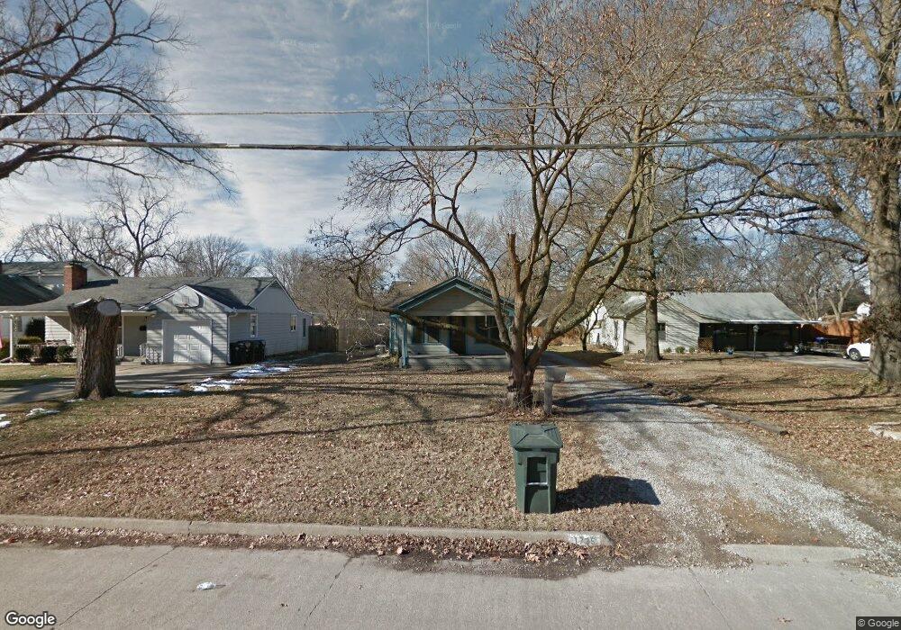
1735 SW Seabrook Ave Topeka, KS 66604
West Topeka NeighborhoodEstimated Value: $115,000 - $137,000
2
Beds
1
Bath
828
Sq Ft
$150/Sq Ft
Est. Value
About This Home
This home is located at 1735 SW Seabrook Ave, Topeka, KS 66604 and is currently estimated at $124,043, approximately $149 per square foot. 1735 SW Seabrook Ave is a home located in Shawnee County with nearby schools including Whitson Elementary School, Marjorie French Middle School, and Topeka West High School.
Ownership History
Date
Name
Owned For
Owner Type
Purchase Details
Closed on
Sep 5, 2008
Sold by
Hsbc Bank Usa National Association
Bought by
Gardner Walter Lee and Gardner Christina Lynn
Current Estimated Value
Home Financials for this Owner
Home Financials are based on the most recent Mortgage that was taken out on this home.
Original Mortgage
$62,000
Outstanding Balance
$41,396
Interest Rate
6.6%
Mortgage Type
Future Advance Clause Open End Mortgage
Estimated Equity
$82,647
Purchase Details
Closed on
Sep 23, 2005
Sold by
Sparks Sheryl L
Bought by
Daley Damon A
Home Financials for this Owner
Home Financials are based on the most recent Mortgage that was taken out on this home.
Original Mortgage
$69,750
Interest Rate
8.12%
Mortgage Type
Adjustable Rate Mortgage/ARM
Create a Home Valuation Report for This Property
The Home Valuation Report is an in-depth analysis detailing your home's value as well as a comparison with similar homes in the area
Home Values in the Area
Average Home Value in this Area
Purchase History
| Date | Buyer | Sale Price | Title Company |
|---|---|---|---|
| Gardner Walter Lee | -- | None Available | |
| Daley Damon A | -- | None Available |
Source: Public Records
Mortgage History
| Date | Status | Borrower | Loan Amount |
|---|---|---|---|
| Open | Gardner Walter Lee | $62,000 | |
| Previous Owner | Daley Damon A | $69,750 |
Source: Public Records
Tax History Compared to Growth
Tax History
| Year | Tax Paid | Tax Assessment Tax Assessment Total Assessment is a certain percentage of the fair market value that is determined by local assessors to be the total taxable value of land and additions on the property. | Land | Improvement |
|---|---|---|---|---|
| 2025 | $1,768 | $13,424 | -- | -- |
| 2023 | $1,768 | $12,181 | $0 | $0 |
| 2022 | $1,546 | $10,592 | $0 | $0 |
| 2021 | $1,235 | $8,004 | $0 | $0 |
| 2020 | $1,161 | $7,624 | $0 | $0 |
| 2019 | $1,144 | $7,474 | $0 | $0 |
| 2018 | $1,111 | $7,257 | $0 | $0 |
| 2017 | $1,114 | $7,257 | $0 | $0 |
| 2014 | $1,201 | $7,728 | $0 | $0 |
Source: Public Records
Map
Nearby Homes
- 4221 SW 17th St
- 4230 SW 19th St
- 3900 SW Holly Ln
- 4200 SW Stratford Rd
- 4401 SW Connemara Ln
- 4405 SW Connemara Ln
- 3636 SW Stratford Rd
- 1625 SW Lakeside Dr
- 1421 SW Mcalister Ave
- 1944 SW Quivira Dr
- 2028 SW Stone Ave
- 1533 SW Stratford Rd
- 1274 SW Indian Trail Ct
- 2012 SW Westwood Dr
- 3516 SW Avalon Ln
- 1520 SW Oakley Ave
- 3405 SW Huntoon St
- 3100 SW Canterbury Ln
- 1728 SW Fairlawn Rd
- 1212 SW New Forest Dr
- 1737 SW Seabrook Ave
- 1733 SW Seabrook Ave
- 1741 SW Seabrook Ave
- 1734 SW Moundview Dr
- 1730 SW Moundview Dr
- 1725 SW Seabrook Ave
- 1740 SW Moundview Dr
- 1722 SW Moundview Dr
- 1740 SW Seabrook Ave
- 1744 SW Moundview Dr
- 1801 SW Seabrook Ave
- 1730 SW Seabrook Ave
- 1718 SW Moundview Dr
- 1746 SW Seabrook Ave
- 1709 SW Seabrook Ave
- 1605 SW Moundview Dr
- 1726 SW Seabrook Ave
- 1800 SW Moundview Dr
- 1800 SW Seabrook Ave
- 1716 SW Moundview Dr