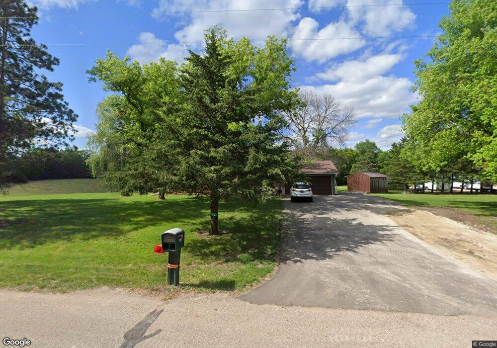
17357 203rd St E Hastings, MN 55033
Ravenna NeighborhoodEstimated Value: $241,000 - $450,000
4
Beds
1
Bath
1,104
Sq Ft
$349/Sq Ft
Est. Value
About This Home
This home is located at 17357 203rd St E, Hastings, MN 55033 and is currently estimated at $385,847, approximately $349 per square foot. 17357 203rd St E is a home located in Dakota County with nearby schools including Pinecrest Elementary School, Hastings Middle School, and Hastings High School.
Ownership History
Date
Name
Owned For
Owner Type
Purchase Details
Closed on
Oct 4, 2017
Sold by
Migut Jerome S and Migut Janice F
Bought by
Brandt Ashley
Current Estimated Value
Home Financials for this Owner
Home Financials are based on the most recent Mortgage that was taken out on this home.
Original Mortgage
$115,000
Outstanding Balance
$96,160
Interest Rate
3.86%
Mortgage Type
New Conventional
Estimated Equity
$289,687
Create a Home Valuation Report for This Property
The Home Valuation Report is an in-depth analysis detailing your home's value as well as a comparison with similar homes in the area
Home Values in the Area
Average Home Value in this Area
Purchase History
| Date | Buyer | Sale Price | Title Company |
|---|---|---|---|
| Brandt Ashley | $150,000 | Dca Title |
Source: Public Records
Mortgage History
| Date | Status | Borrower | Loan Amount |
|---|---|---|---|
| Open | Brandt Ashley | $115,000 |
Source: Public Records
Tax History
| Year | Tax Paid | Tax Assessment Tax Assessment Total Assessment is a certain percentage of the fair market value that is determined by local assessors to be the total taxable value of land and additions on the property. | Land | Improvement |
|---|---|---|---|---|
| 2024 | $2,536 | $375,200 | $119,900 | $255,300 |
| 2023 | $2,536 | $358,300 | $115,400 | $242,900 |
| 2022 | $2,278 | $349,700 | $115,100 | $234,600 |
| 2021 | $2,528 | $301,400 | $100,100 | $201,300 |
| 2020 | $2,354 | $307,500 | $100,100 | $207,400 |
| 2019 | $2,391 | $278,600 | $95,400 | $183,200 |
| 2018 | $2,308 | $266,500 | $90,800 | $175,700 |
| 2017 | $2,167 | $247,700 | $99,100 | $148,600 |
| 2016 | $2,122 | $234,000 | $94,400 | $139,600 |
| 2015 | $2,084 | $215,418 | $87,745 | $127,673 |
| 2014 | -- | $212,380 | $86,835 | $125,545 |
| 2013 | -- | $196,283 | $77,943 | $118,340 |
Source: Public Records
Map
Nearby Homes
- 20091 Red Wing Blvd
- XXX Otero Ave
- 20300 Otero Ave
- 21012 Orlando Ave
- Lot 1 Orlando Ave
- Lot 2 Orlando Ave
- 18760 Orlando Ave
- N4387 1115th St
- Lot 41 463rd Ave
- W11789 497th Ave
- 17140 County 31 Blvd
- 120 Longspur Ct
- 3840 Martin Ct
- 182 Sandpiper Cir
- W10037 290th Ave
- 2422 Rushmore Rd
- 2457 Yellowstone Dr Unit 116
- 2452 Rushmore Rd
- 2394 Rushmore Rd
- 2374 Rushmore Rd
- 17423 203rd St E
- 17320 203rd St E
- 17420 203rd St E
- 17334 203rd St E
- 17280 203rd St E
- 20230 Quamme Ave
- 17425 203rd St E
- 20315 Quamme Ave
- 17240 203rd St E
- 17525 203rd St E
- 17520 203rd St E
- 20275 Quamme Ave
- 20225 Quamme Ave
- 17580 203rd St E
- 20482 Red Wing Blvd
- 20285 Quentin Ave
- 20580 Red Wing Blvd
- 20505 Quentin Ave
- 20155 Quamme Ave
- 20175 Quentin Ave
Your Personal Tour Guide
Ask me questions while you tour the home.