17357 County Road 160 Kenton, OH 43326
Estimated Value: $300,000 - $410,000
4
Beds
2
Baths
2,988
Sq Ft
$121/Sq Ft
Est. Value
About This Home
This home is located at 17357 County Road 160, Kenton, OH 43326 and is currently estimated at $360,361, approximately $120 per square foot. 17357 County Road 160 is a home located in Hardin County with nearby schools including Kenton Elementary School, Kenton Middle School, and Kenton High School.
Ownership History
Date
Name
Owned For
Owner Type
Purchase Details
Closed on
Jun 30, 2022
Sold by
Jacob Coil
Bought by
Lambright Joas and Lambright Esther
Current Estimated Value
Purchase Details
Closed on
Jun 22, 2022
Sold by
Borntrager Daniel J and Borntrager Lydia E
Bought by
Coil Jacob
Purchase Details
Closed on
Aug 23, 2019
Sold by
Borntrager Daniel J and Borntrager Lydia E
Bought by
Coil Jacob
Home Financials for this Owner
Home Financials are based on the most recent Mortgage that was taken out on this home.
Original Mortgage
$154,000
Interest Rate
5%
Mortgage Type
Land Contract Argmt. Of Sale
Purchase Details
Closed on
Oct 14, 2015
Bought by
Borntrager Daniel J and Borntrager Lydia E
Purchase Details
Closed on
Jun 19, 2013
Sold by
Mullady Patrick E and Mullady Elizabeth C
Bought by
Fulton Ii James W and Fulton Kimberly D
Create a Home Valuation Report for This Property
The Home Valuation Report is an in-depth analysis detailing your home's value as well as a comparison with similar homes in the area
Home Values in the Area
Average Home Value in this Area
Purchase History
| Date | Buyer | Sale Price | Title Company |
|---|---|---|---|
| Lambright Joas | -- | Schwemer David J | |
| Lambright Joas | -- | Schwemer David J | |
| Coil Jacob | -- | Mckinley Seeley & Potts | |
| Coil Jacob | $159,000 | None Available | |
| Borntrager Daniel J | $207,000 | -- | |
| Fulton Ii James W | $205,000 | None Available |
Source: Public Records
Mortgage History
| Date | Status | Borrower | Loan Amount |
|---|---|---|---|
| Previous Owner | Coil Jacob | $154,000 |
Source: Public Records
Tax History Compared to Growth
Tax History
| Year | Tax Paid | Tax Assessment Tax Assessment Total Assessment is a certain percentage of the fair market value that is determined by local assessors to be the total taxable value of land and additions on the property. | Land | Improvement |
|---|---|---|---|---|
| 2024 | $2,983 | $70,260 | $17,640 | $52,620 |
| 2023 | $2,983 | $61,670 | $19,670 | $42,000 |
| 2022 | $2,162 | $47,400 | $11,200 | $36,200 |
| 2021 | $1,337 | $28,860 | $11,200 | $17,660 |
| 2020 | $1,159 | $28,860 | $11,200 | $17,660 |
| 2019 | $1,778 | $46,640 | $16,370 | $30,270 |
| 2018 | $1,780 | $46,640 | $16,370 | $30,270 |
| 2017 | $1,747 | $46,640 | $16,370 | $30,270 |
| 2016 | $1,548 | $43,370 | $20,250 | $23,120 |
| 2015 | $517 | $14,490 | $14,490 | $0 |
| 2014 | $811 | $14,490 | $14,490 | $0 |
| 2013 | $232 | $36,320 | $13,240 | $23,080 |
Source: Public Records
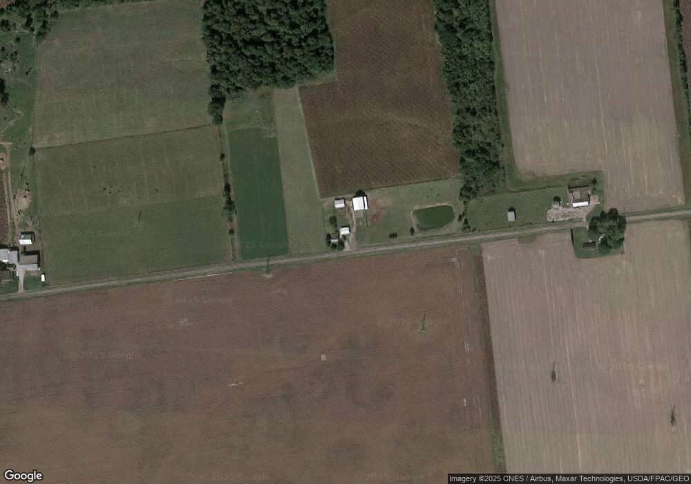
Map
Nearby Homes
- 13450 State Route 292
- 11896 Parklane Dr
- 920 Cooper St
- 320 Letson Ave
- 115 Scioto St
- 510 Decatur St
- 508 Decatur St
- 727 S Detroit St
- 79 Broadway St
- 639 S Main St
- 530 E Franklin St
- 39 Grape St
- 1 C Ct
- 513 E Franklin St
- 121 S High St
- 509 E Carrol St
- 324 Stone Hedge Ln Unit 324
- 0 N Barron St
- 104 Oak Ln Unit 15
- 503 Jennings St
- 17576 County Road 160
- 17087 County Road 160
- 17686 County Road 160
- 14001 Township Road 179
- 17773 County Road 160
- 17773 Co Rd
- 16861 County Road 160
- 14187 Township Road 179
- 13758 Township Road 179
- 13887 Township Road 179
- 00 Cr 160
- 14512 Tr 179
- 16820 County Road 160
- 17915 Cr 160
- 17915 Cr
- 13660 Township Road 179
- 14487 Township Road 179
- 13667 Township Road 179
- 13645 Township Road 179