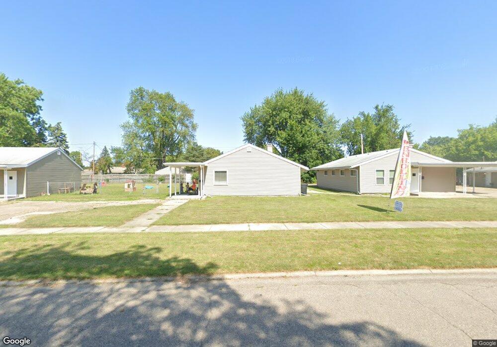
1736 Carmanbrook Pkwy Flint, MI 48507
South Side NeighborhoodEstimated Value: $238,753 - $275,000
--
Bed
1
Bath
4,490
Sq Ft
$58/Sq Ft
Est. Value
About This Home
This home is located at 1736 Carmanbrook Pkwy, Flint, MI 48507 and is currently estimated at $258,584, approximately $57 per square foot. 1736 Carmanbrook Pkwy is a home located in Genesee County with nearby schools including Neithercut Elementary School, Flint Southwestern Classical Academy, and International Academy of Flint (K-12).
Ownership History
Date
Name
Owned For
Owner Type
Purchase Details
Closed on
Sep 19, 2025
Sold by
Hughes Annette
Bought by
Legacy Keepers Llc
Current Estimated Value
Purchase Details
Closed on
Jul 16, 2020
Sold by
The School Distric Of The City Of Flint
Bought by
Hughs Annette
Purchase Details
Closed on
Jun 2, 2014
Sold by
Liberty Christian Outreach Ministries
Bought by
Hughes Annette
Purchase Details
Closed on
Nov 14, 2011
Sold by
Flint Community Schools
Bought by
Liberty Christian Outreach Ministries
Create a Home Valuation Report for This Property
The Home Valuation Report is an in-depth analysis detailing your home's value as well as a comparison with similar homes in the area
Home Values in the Area
Average Home Value in this Area
Purchase History
| Date | Buyer | Sale Price | Title Company |
|---|---|---|---|
| Legacy Keepers Llc | -- | None Listed On Document | |
| Hughs Annette | -- | None Available | |
| Hughes Annette | $7,500 | Sargents Title Company | |
| Liberty Christian Outreach Ministries | $10,100 | None Available |
Source: Public Records
Tax History Compared to Growth
Tax History
| Year | Tax Paid | Tax Assessment Tax Assessment Total Assessment is a certain percentage of the fair market value that is determined by local assessors to be the total taxable value of land and additions on the property. | Land | Improvement |
|---|---|---|---|---|
| 2025 | $5,567 | $138,100 | $0 | $0 |
| 2024 | $5,116 | $124,400 | $0 | $0 |
| 2023 | $4,337 | $104,900 | $0 | $0 |
| 2022 | $0 | $87,900 | $0 | $0 |
| 2021 | $4,439 | $65,900 | $0 | $0 |
| 2020 | $3,994 | $61,500 | $0 | $0 |
| 2019 | $3,837 | $55,800 | $0 | $0 |
| 2018 | $4,095 | $55,500 | $0 | $0 |
| 2017 | $4,417 | $0 | $0 | $0 |
| 2016 | $4,379 | $0 | $0 | $0 |
| 2015 | -- | $0 | $0 | $0 |
| 2014 | -- | $0 | $0 | $0 |
| 2012 | -- | $0 | $0 | $0 |
Source: Public Records
Map
Nearby Homes
- 1741 Carmanbrook Pkwy
- 1814 Carmanbrook Pkwy
- 1523 Waldman Ave
- 1727 Briarwood Dr
- 1902 Crestbrook Ln
- 2107 Stoney Brook Ct
- 4101 Greenbrook Ln
- 1410 Berrywood Ln
- 1418 Blueberry Ln
- 1818 Rockcreek Ln
- 1225 Waldman Ave
- 1826 Greenbrook Ln
- 1225 Vermilya Ave
- 1209 Lincoln Ave
- 1905 Greenbriar Ln
- 1228 Leland St
- 1902 Rockcreek Ln
- 1130 W Atherton Rd
- 4107 Park Forest Dr
- 1212 Crawford St
- 1736 Camanbrook Pkwy
- 1730 Carmanbrook Pkwy
- 3608 Briarwood Dr
- 3614 Briarwood Dr
- 1710 Carmanbrook Pkwy
- 1740 Carmanbrook Pkwy
- 3602 Briarwood Dr
- 3514 Briarwood Dr
- 3624 Briarwood Dr
- 1744 Carmanbrook Pkwy
- 1723 Carmanbrook Pkwy
- 1748 Carmanbrook Pkwy
- 1717 Carmanbrook Pkwy
- 3607 Briarwood Dr
- 3613 Briarwood Dr
- 1701 Carmanbrook Pkwy
- 3619 Briarwood Dr
- 3601 Briarwood Dr
- 1729 Carmanbrook Pkwy
- 1709 Bayberry Ln