1736 Falcon Pointe Dr Unit 1 Knoxville, TN 37922
Concord NeighborhoodEstimated Value: $713,431 - $793,000
5
Beds
4
Baths
4,027
Sq Ft
$185/Sq Ft
Est. Value
About This Home
This home is located at 1736 Falcon Pointe Dr Unit 1, Knoxville, TN 37922 and is currently estimated at $743,608, approximately $184 per square foot. 1736 Falcon Pointe Dr Unit 1 is a home located in Knox County with nearby schools including Northshore Elementary School, Farragut Middle School, and Farragut High School.
Ownership History
Date
Name
Owned For
Owner Type
Purchase Details
Closed on
Feb 9, 2018
Sold by
Story John H
Bought by
Elmore Michael Lynn and Elmore Rebecca T
Current Estimated Value
Purchase Details
Closed on
Dec 21, 2010
Sold by
Story John H
Bought by
Elmore Rebecca T and Elmore Michael Lynn
Purchase Details
Closed on
Nov 7, 2007
Sold by
Michael C Rhodes Llc
Bought by
Story John
Home Financials for this Owner
Home Financials are based on the most recent Mortgage that was taken out on this home.
Original Mortgage
$386,500
Interest Rate
6.37%
Mortgage Type
Purchase Money Mortgage
Purchase Details
Closed on
Apr 25, 2007
Sold by
Landview Llc
Bought by
Michael C Rhodes Llc
Create a Home Valuation Report for This Property
The Home Valuation Report is an in-depth analysis detailing your home's value as well as a comparison with similar homes in the area
Home Values in the Area
Average Home Value in this Area
Purchase History
| Date | Buyer | Sale Price | Title Company |
|---|---|---|---|
| Elmore Michael Lynn | -- | None Available | |
| Elmore Rebecca T | $335,000 | Concord Title | |
| Story John | $485,000 | None Available | |
| Michael C Rhodes Llc | -- | None Available | |
| Michael C Rhodes Llc | -- | Title Assoc Of Knoxville |
Source: Public Records
Mortgage History
| Date | Status | Borrower | Loan Amount |
|---|---|---|---|
| Previous Owner | Story John | $386,500 |
Source: Public Records
Tax History Compared to Growth
Tax History
| Year | Tax Paid | Tax Assessment Tax Assessment Total Assessment is a certain percentage of the fair market value that is determined by local assessors to be the total taxable value of land and additions on the property. | Land | Improvement |
|---|---|---|---|---|
| 2024 | $1,635 | $105,200 | $0 | $0 |
| 2023 | $1,635 | $105,200 | $0 | $0 |
| 2022 | $1,635 | $105,200 | $0 | $0 |
| 2021 | $2,169 | $102,300 | $0 | $0 |
| 2020 | $2,169 | $102,300 | $0 | $0 |
| 2019 | $2,169 | $102,300 | $0 | $0 |
| 2018 | $2,169 | $102,300 | $0 | $0 |
| 2017 | $2,169 | $102,300 | $0 | $0 |
| 2016 | $2,152 | $0 | $0 | $0 |
| 2015 | $2,152 | $0 | $0 | $0 |
| 2014 | $2,152 | $0 | $0 | $0 |
Source: Public Records
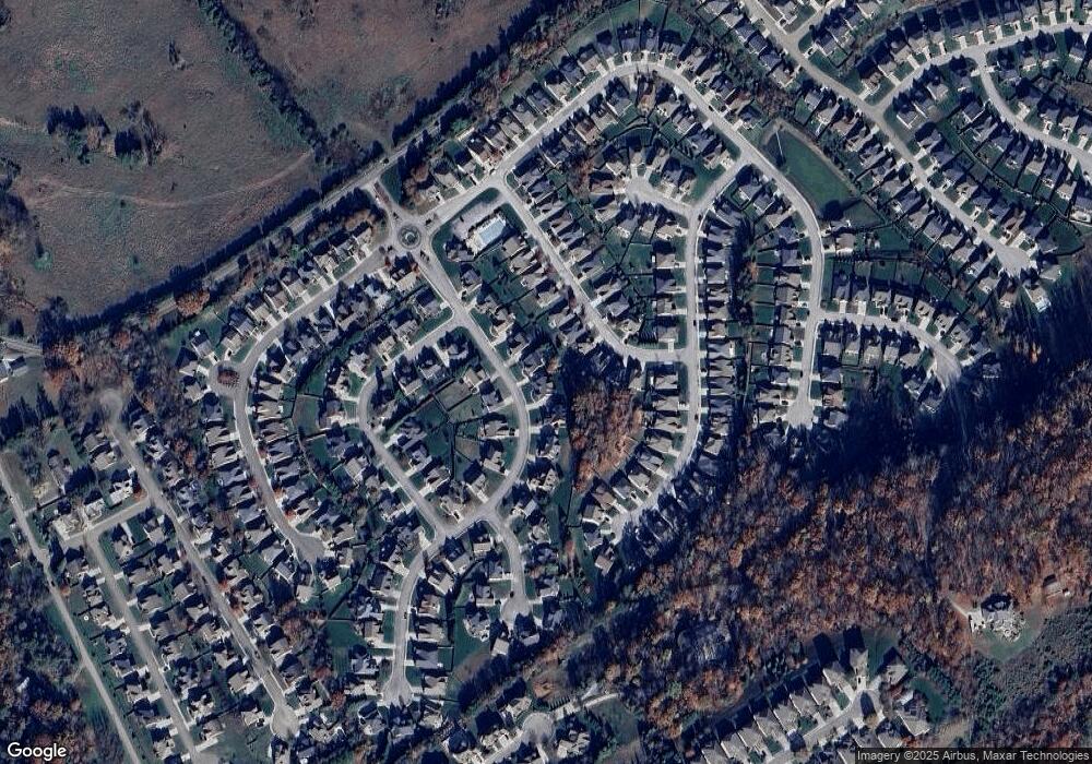
Map
Nearby Homes
- 1824 Glen Shady Blvd
- 121 Padstow Ln
- 1823 Shadyside Ln
- 1826 Shadyside Ln
- 12873 Magnolia Crest Ln
- 1529 Linden Leaf Ln
- 2044 Wooded Mountain Ln
- 2071 Wooded Mountain Ln
- 1535 Linden Leaf Ln
- 1917 Ridge Oak Ln
- 14374 Northshore Dr
- 12618 Hunters Creek Ln
- 471 Roseland Ln
- 0 Early Rd Unit 4 1307529
- 0 Early Rd Unit 3 1307350
- 0 Early Rd Unit 2 1307144
- 12617 Weatherstone Dr
- 1376 Silver Leaf Dr
- 12509 Coral Reef Cir
- 1422 Stone Tower Dr
- 1732 Falcon Pointe Dr
- 1740 Falcon Pointe Dr Unit 1
- 1739 Sawgrass Rd
- 1735 Sawgrass Rd
- 1744 Falcon Pointe Dr Unit 1
- 1728 Falcon Pointe Dr
- 1728 Falcon Pointe Dr Unit 1
- 1743 Sawgrass Rd
- 1731 Sawgrass Rd
- 1285 Falcon Pointe Dr
- 1733 Falcon Pointe Dr
- 1727 Sawgrass Rd
- 1741 Falcon Pointe Dr
- 1724 Falcon Pointe Dr
- 1729 Falcon Pointe Dr
- 1723 Sawgrass Rd
- 1747 Falcon Pointe Dr
- 1855 Hidden Deer Ln Unit 4
- 1861 Hidden Deer Ln Unit 4
- 1865 Hidden Deer Ln