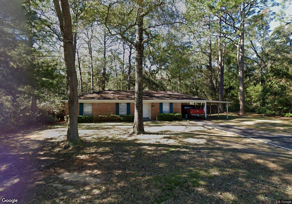
1737 Colonial Ln W Unit 1 Mobile, AL 36618
Colonial Heights NeighborhoodEstimated Value: $113,182 - $148,000
3
Beds
2
Baths
1,091
Sq Ft
$121/Sq Ft
Est. Value
About This Home
This home is located at 1737 Colonial Ln W Unit 1, Mobile, AL 36618 and is currently estimated at $131,546, approximately $120 per square foot. 1737 Colonial Ln W Unit 1 is a home located in Mobile County with nearby schools including Orchard Elementary School, CL Scarborough Middle School, and Mattie T Blount High School.
Ownership History
Date
Name
Owned For
Owner Type
Purchase Details
Closed on
Aug 22, 2013
Sold by
Belton Bernard and Belton Beverly
Bought by
Belton Bernard
Current Estimated Value
Purchase Details
Closed on
May 17, 2001
Sold by
Nelson Melanie R and Nelson Billy Ray
Bought by
Equicredit Corp Of America
Purchase Details
Closed on
Sep 4, 1998
Sold by
Pettis Pettis Joseph Barton Joseph Barton
Bought by
Nelson Billy Ray and Nelson Melanie R
Home Financials for this Owner
Home Financials are based on the most recent Mortgage that was taken out on this home.
Original Mortgage
$2,890
Interest Rate
6.99%
Mortgage Type
Seller Take Back
Create a Home Valuation Report for This Property
The Home Valuation Report is an in-depth analysis detailing your home's value as well as a comparison with similar homes in the area
Home Values in the Area
Average Home Value in this Area
Purchase History
| Date | Buyer | Sale Price | Title Company |
|---|---|---|---|
| Belton Bernard | $72,700 | None Available | |
| Equicredit Corp Of America | $54,900 | -- | |
| Nelson Billy Ray | $61,900 | -- |
Source: Public Records
Mortgage History
| Date | Status | Borrower | Loan Amount |
|---|---|---|---|
| Previous Owner | Nelson Billy Ray | $2,890 |
Source: Public Records
Tax History
| Year | Tax Paid | Tax Assessment Tax Assessment Total Assessment is a certain percentage of the fair market value that is determined by local assessors to be the total taxable value of land and additions on the property. | Land | Improvement |
|---|---|---|---|---|
| 2025 | -- | $9,840 | $2,000 | $7,840 |
| 2024 | -- | $9,490 | $2,000 | $7,490 |
| 2023 | $0 | $7,690 | $2,000 | $5,690 |
| 2022 | $0 | $7,220 | $2,000 | $5,220 |
| 2021 | $0 | $7,220 | $2,000 | $5,220 |
| 2020 | $375 | $7,220 | $2,000 | $5,220 |
| 2019 | $375 | $7,240 | $0 | $0 |
| 2018 | $375 | $6,960 | $0 | $0 |
| 2017 | $364 | $6,780 | $0 | $0 |
| 2016 | $390 | $7,200 | $0 | $0 |
| 2013 | $395 | $7,220 | $0 | $0 |
Source: Public Records
Map
Nearby Homes
- 5755 Colonial Ln N
- 0 Hall Rd Unit 7635847
- 1600 Decatur St
- 4601 Moffett Rd
- 0 Moffett Rd Unit 7682624
- 7491 Moffett Rd
- 0 Moffett Rd Unit 2
- 0 Moffett Rd Unit 7549673
- 5405 Moffett Rd
- 5512 Overlook Rd
- 5462 Racine Ave
- 1951 Highland Forest Dr
- 1967 Highland Forest Dr
- 1313 Innsbruck Dr
- 6233 Summer Place Dr N
- 5323 Colonial Oaks Dr N
- 5415 Overlook Rd
- 5859 Chalet Dr N
- 1401 Forest Ridge Rd E
- 1701 Crestwood Dr
- 1733 Colonial Ln W
- 1729 Colonial Ln W
- 1736 Colonial Ln W
- 5759 Colonial Ln N
- 1725 Colonial Ln W
- 1732 Colonial Ln W
- 1728 Colonial Ln W
- 1721 Colonial Ln W
- 5764 Colonial Ln N
- 1724 Colonial Ln W
- 5760 Colonial Ln N
- 1717 Colonial Ln W
- 1729 Colonial Ln E
- 1720 Colonial Ln W
- 1727 Colonial Ln E
- 5801 Howells Ferry Rd
- 1801 Colonial Ln E
- 1725 Colonial Ln E
- 1716 Colonial Ln W
- 5769 Howells Ferry Rd
Your Personal Tour Guide
Ask me questions while you tour the home.