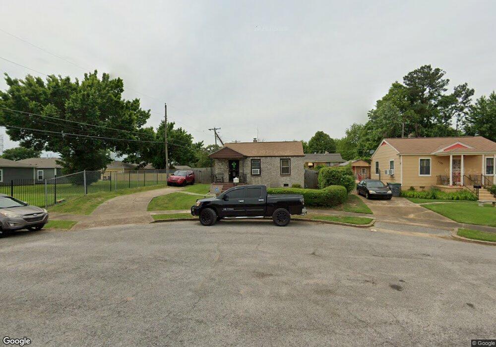
1737 S Barksdale St Memphis, TN 38114
Southeast Memphis NeighborhoodEstimated Value: $51,397 - $87,000
2
Beds
1
Bath
672
Sq Ft
$106/Sq Ft
Est. Value
About This Home
This home is located at 1737 S Barksdale St, Memphis, TN 38114 and is currently estimated at $71,099, approximately $105 per square foot. 1737 S Barksdale St is a home located in Shelby County with nearby schools including Hamilton High School, Memphis College Preparatory, and Veritas College Preparatory.
Ownership History
Date
Name
Owned For
Owner Type
Purchase Details
Closed on
Feb 20, 2023
Sold by
Morman Monica
Bought by
Lewis Deontay and Morman Derron
Current Estimated Value
Purchase Details
Closed on
Jan 12, 2004
Sold by
Boshwit Bros Mortgage Corp
Bought by
Morman Monica
Home Financials for this Owner
Home Financials are based on the most recent Mortgage that was taken out on this home.
Original Mortgage
$20,130
Interest Rate
6.03%
Mortgage Type
Seller Take Back
Create a Home Valuation Report for This Property
The Home Valuation Report is an in-depth analysis detailing your home's value as well as a comparison with similar homes in the area
Home Values in the Area
Average Home Value in this Area
Purchase History
| Date | Buyer | Sale Price | Title Company |
|---|---|---|---|
| Lewis Deontay | -- | -- | |
| Morman Monica | $20,000 | -- |
Source: Public Records
Mortgage History
| Date | Status | Borrower | Loan Amount |
|---|---|---|---|
| Previous Owner | Morman Monica | $20,130 |
Source: Public Records
Tax History Compared to Growth
Tax History
| Year | Tax Paid | Tax Assessment Tax Assessment Total Assessment is a certain percentage of the fair market value that is determined by local assessors to be the total taxable value of land and additions on the property. | Land | Improvement |
|---|---|---|---|---|
| 2025 | $123 | $6,575 | $1,500 | $5,075 |
| 2024 | $123 | $3,625 | $1,000 | $2,625 |
| 2023 | $221 | $3,625 | $1,000 | $2,625 |
| 2022 | $221 | $3,625 | $1,000 | $2,625 |
| 2021 | $223 | $3,625 | $1,000 | $2,625 |
| 2020 | $228 | $3,150 | $1,000 | $2,150 |
| 2019 | $228 | $3,150 | $1,000 | $2,150 |
| 2018 | $228 | $3,150 | $1,000 | $2,150 |
| 2017 | $129 | $3,150 | $1,000 | $2,150 |
| 2016 | $163 | $3,725 | $0 | $0 |
| 2014 | $163 | $3,725 | $0 | $0 |
Source: Public Records
Map
Nearby Homes
- 1936 Frisco Ave
- 1971 Boyle Ave
- 1817 S Barksdale St
- 996 Rozelle St
- 1949 Lapaloma St
- 1824 Rozelle St
- 1832 Rozelle St
- 2151 Goff Ave
- 1911 Quinn Ave
- 2149 Wabash Ave
- 1998 Cloverdale Dr
- 1493 Oaklawn St
- 1481 Oaklawn St
- 1816 Kerr Ave
- 0 Dublin Ave Unit LOTS 20 & 21 LAST TW
- 1698 Rayner St
- 1783 Parkway Terrace
- 1812 Parkway Terrace
- 1720 Airways Blvd
- 1790 Westmore St
- 1733 S Barksdale St
- 1738 State St
- 1727 S Barksdale St
- 1884 Carver Ave
- 1876 Carver Ave
- 1728 State St
- 1888 Carver Ave
- 1872 Carver Ave
- 1723 S Barksdale St
- 1744 S Barksdale St
- 1880 Carver Ave
- 1738 S Barksdale St
- 1866 Carver Ave
- 1724 State St
- 1894 Carver Ave
- 1734 S Barksdale St
- 1898 Carver Ave
- 1717 S Barksdale St
- 1858 Carver Ave
- 1728 S Barksdale St