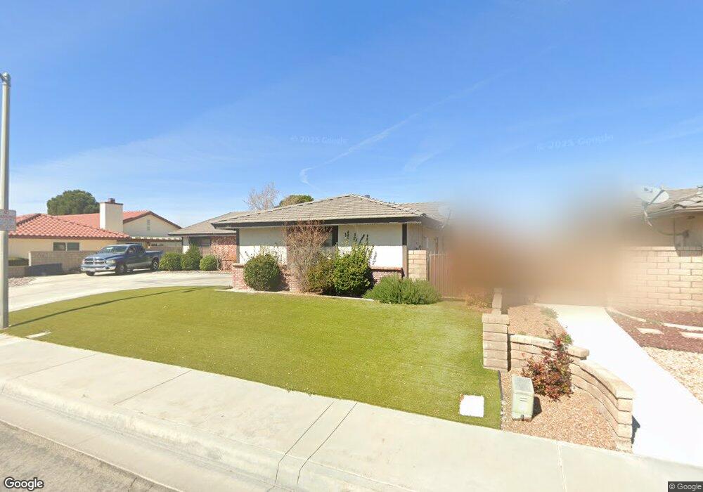
1737 W Avenue k12 Lancaster, CA 93534
Central Lancaster NeighborhoodEstimated Value: $479,372 - $561,000
3
Beds
2
Baths
2,030
Sq Ft
$264/Sq Ft
Est. Value
About This Home
This home is located at 1737 W Avenue k12, Lancaster, CA 93534 and is currently estimated at $535,593, approximately $263 per square foot. 1737 W Avenue k12 is a home located in Los Angeles County with nearby schools including Miller Elementary School, Amargosa Creek Middle School, and Lancaster High School.
Ownership History
Date
Name
Owned For
Owner Type
Purchase Details
Closed on
Jun 1, 2015
Sold by
Hart Rick A
Bought by
The Hart Living Trust
Current Estimated Value
Purchase Details
Closed on
Jan 23, 2015
Sold by
Moody Robert A
Bought by
Hart Rick A and Hart Alicia A
Home Financials for this Owner
Home Financials are based on the most recent Mortgage that was taken out on this home.
Original Mortgage
$258,250
Outstanding Balance
$196,486
Interest Rate
3.66%
Mortgage Type
VA
Estimated Equity
$339,107
Create a Home Valuation Report for This Property
The Home Valuation Report is an in-depth analysis detailing your home's value as well as a comparison with similar homes in the area
Home Values in the Area
Average Home Value in this Area
Purchase History
| Date | Buyer | Sale Price | Title Company |
|---|---|---|---|
| The Hart Living Trust | -- | None Available | |
| Hart Rick A | $250,000 | Lawyers Title |
Source: Public Records
Mortgage History
| Date | Status | Borrower | Loan Amount |
|---|---|---|---|
| Open | Hart Rick A | $258,250 |
Source: Public Records
Tax History Compared to Growth
Tax History
| Year | Tax Paid | Tax Assessment Tax Assessment Total Assessment is a certain percentage of the fair market value that is determined by local assessors to be the total taxable value of land and additions on the property. | Land | Improvement |
|---|---|---|---|---|
| 2025 | $8,118 | $300,451 | $75,110 | $225,341 |
| 2024 | $8,118 | $294,561 | $73,638 | $220,923 |
| 2023 | $8,017 | $288,787 | $72,195 | $216,592 |
| 2022 | $7,900 | $283,126 | $70,780 | $212,346 |
| 2021 | $7,490 | $277,576 | $69,393 | $208,183 |
| 2019 | $7,367 | $269,345 | $67,336 | $202,009 |
| 2018 | $7,293 | $264,065 | $66,016 | $198,049 |
| 2016 | $3,799 | $253,812 | $63,453 | $190,359 |
| 2015 | $3,455 | $225,012 | $43,266 | $181,746 |
| 2014 | -- | $214,500 | $41,300 | $173,200 |
Source: Public Records
Map
Nearby Homes
- 1816 W Avenue k11
- 42900 Staffordshire Dr
- 2011 W Avenue k10
- 43157 18th St W
- 2041 Kalliope Ave
- 42901 Cinema Ave
- 1807 W Avenue k8
- 43119 15th St W
- 42935 15th St W Unit 10
- 42849 15th St W Unit 4
- 2051 W Avenue L
- 43236 20th St W
- 1521 W Avenue L Unit 4
- 1537 W Avenue L
- 42722 20th St W
- 43308 18th St W
- 42801 15th St W Unit 9
- 42805 15th St W
- 43107 Sunny Ln
- 1727 W Avenue k12
- 1747 W Avenue k12
- 43031 Victorville Place
- 42955 Victorville Place
- 43030 Victorville Place
- 1717 W Avenue k12
- 1757 W Avenue k12
- 1756 W Avenue k11
- 43035 Victorville Place
- 42980 Staffordshire Dr
- 0 Expressway Blvd Unit TR15245311
- 42954 Victorville Place
- 1753 W Avenue k11
- 43034 Victorville Place
- 1807 W Avenue k12
- 1707 W Avenue k12
- 42947 Victorville Place
- 1764 W Avenue k11
- 42974 Staffordshire Dr
- 43041 Victorville Place