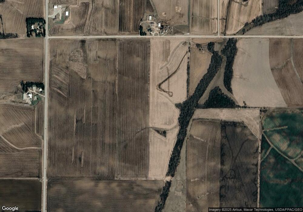
Estimated Value: $441,000
4
Beds
1
Bath
1,296
Sq Ft
$340/Sq Ft
Est. Value
About This Home
This home is located at 17374 Lang Dr, Utica, MN 55979 and is currently estimated at $441,000, approximately $340 per square foot. 17374 Lang Dr is a home located in Winona County with nearby schools including Lewiston-Altura Secondary School.
Ownership History
Date
Name
Owned For
Owner Type
Purchase Details
Closed on
Nov 20, 2015
Sold by
Beyer Wayne A and Beyer Janet E
Bought by
Beyer Brian A and Beyer Courtney M
Current Estimated Value
Purchase Details
Closed on
Oct 7, 2014
Sold by
Beyer Wayne Wayne
Bought by
Beyer Brian Brian
Purchase Details
Closed on
Mar 18, 2010
Sold by
Beyer Wayne A and Beyer Janet E
Bought by
Beyer Wayne A and Beyer Janet E
Home Financials for this Owner
Home Financials are based on the most recent Mortgage that was taken out on this home.
Original Mortgage
$225,000
Interest Rate
5.03%
Purchase Details
Closed on
Mar 17, 2010
Sold by
Beyer Wayne A and Beyer Janet E
Bought by
Beyer Wade C and Beyer Kayla M
Home Financials for this Owner
Home Financials are based on the most recent Mortgage that was taken out on this home.
Original Mortgage
$225,000
Interest Rate
5.03%
Create a Home Valuation Report for This Property
The Home Valuation Report is an in-depth analysis detailing your home's value as well as a comparison with similar homes in the area
Home Values in the Area
Average Home Value in this Area
Purchase History
| Date | Buyer | Sale Price | Title Company |
|---|---|---|---|
| Beyer Brian A | $6,000 | None Available | |
| Beyer Brian Brian | $16,000 | -- | |
| Beyer Wayne A | -- | -- | |
| Beyer Wade C | -- | -- |
Source: Public Records
Mortgage History
| Date | Status | Borrower | Loan Amount |
|---|---|---|---|
| Previous Owner | Beyer Wayne A | $225,000 | |
| Previous Owner | Beyer Wade C | $225,000 |
Source: Public Records
Tax History Compared to Growth
Tax History
| Year | Tax Paid | Tax Assessment Tax Assessment Total Assessment is a certain percentage of the fair market value that is determined by local assessors to be the total taxable value of land and additions on the property. | Land | Improvement |
|---|---|---|---|---|
| 2025 | $1,446 | $502,300 | $502,300 | $0 |
| 2024 | $1,446 | $465,700 | $465,700 | $0 |
| 2023 | $966 | $448,900 | $448,900 | $0 |
| 2022 | $974 | $408,300 | $408,300 | $0 |
| 2021 | $1,014 | $348,900 | $348,900 | $0 |
| 2020 | $1,054 | $366,300 | $366,300 | $0 |
| 2019 | $972 | $366,300 | $366,300 | $0 |
| 2018 | $964 | $325,600 | $325,600 | $0 |
| 2017 | $1,002 | $0 | $0 | $0 |
| 2016 | $1,052 | $0 | $0 | $0 |
| 2015 | $1,052 | $0 | $0 | $0 |
| 2014 | $1,648 | $0 | $0 | $0 |
Source: Public Records
Map
Nearby Homes
- 225 S 1st St
- 140 W Main St
- 95 Williams St
- 395 Williams St
- 570 Harrison St
- TBD County Road 27
- 205 Nicholas Dr
- 16 2nd St SE
- 0 Cherokee Rd
- 1542 Rimrock Rd
- TBD30 Cherokee Rd
- 11349 Equine Dr
- 240 Northern Hills Dr
- 413 Northern Hills Ct
- 1397 Soppa Dr
- 416 Brubaker Dr
- 533 Manheim Ave
- 701 Bluff Ave
- xx Tbd
- 131 Circle Dr
