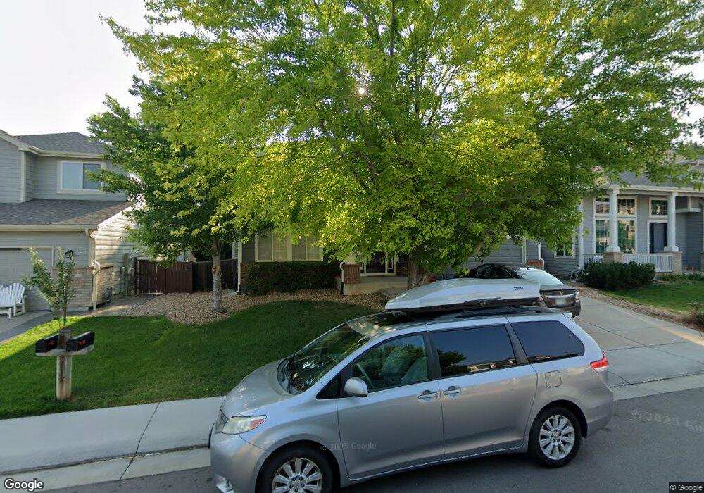
17376 Cornerstone Dr Parker, CO 80134
Clarke Farms NeighborhoodEstimated Value: $728,071 - $811,000
About This Home
This home is located at 17376 Cornerstone Dr, Parker, CO 80134 and is currently estimated at $769,768, approximately $200 per square foot. 17376 Cornerstone Dr is a home located in Douglas County with nearby schools including Cherokee Trail Elementary School, Sierra Middle School, and Chaparral High School.
Ownership History
We collect this data history from publicly available records. To have your information removed, we recommend requesting removal directly through your county’s website.
Purchase Details
Home Financials for this Owner
Home Financials are based on the most recent Mortgage that was taken out on this home.Purchase Details
Home Financials for this Owner
Home Financials are based on the most recent Mortgage that was taken out on this home.Purchase Details
Home Values in the Area
Average Home Value in this Area
Purchase History
We collect this data history from publicly available records. To have your information removed, we recommend requesting removal directly through your county’s website.
| Date | Buyer | Sale Price | Title Company |
|---|---|---|---|
| $405,000 | None Available | ||
| $245,261 | -- | ||
| $366,600 | -- |
Mortgage History
We collect this data history from publicly available records. To have your information removed, we recommend requesting removal directly through your county’s website.
| Date | Status | Borrower | Loan Amount |
|---|---|---|---|
| Open | $405,000 | ||
| Previous Owner | $196,200 |
Tax History
We collect this data history from publicly available records. To have your information removed, we recommend requesting removal directly through your county’s website.
| Year | Tax Paid | Tax Assessment Tax Assessment Total Assessment is a certain percentage of the fair market value that is determined by local assessors to be the total taxable value of land and additions on the property. | Land | Improvement |
|---|---|---|---|---|
| 2025 | $5,493 | $50,170 | $10,380 | $39,790 |
| 2024 | $5,493 | $54,980 | $8,820 | $46,160 |
| 2023 | $5,541 | $54,980 | $8,820 | $46,160 |
| 2022 | $4,014 | $36,360 | $6,050 | $30,310 |
| 2021 | $4,127 | $36,360 | $6,050 | $30,310 |
| 2020 | $3,973 | $35,880 | $7,470 | $28,410 |
| 2019 | $3,876 | $35,880 | $7,470 | $28,410 |
| 2018 | $3,564 | $32,540 | $6,720 | $25,820 |
| 2017 | $3,361 | $32,540 | $6,720 | $25,820 |
| 2016 | $3,364 | $32,060 | $6,410 | $25,650 |
| 2015 | $3,429 | $32,060 | $6,410 | $25,650 |
| 2014 | $3,066 | $25,840 | $6,220 | $19,620 |
Map
- 17351 Cornerstone Dr
- 17130 Opal Hill Dr
- 10318 Severance Dr
- 10221 Amethyst Way
- 10270 Amethyst Way
- 11634 Masonville Dr
- 11517 Wray Ct
- 10420 White Pine Dr
- 9678 Deerhorn Ct Unit 116
- 10617 Clarke Farms Dr
- 9646 Deerhorn Ct Unit 99
- 16642 Autumn Rock Cove
- 9608 Deerhorn Ct Unit 81
- 9923 Boca Cir
- 16907 Molina Place
- 10006 Boca Cir
- 17302 Witten Ct
- 10072 Boca Cir
- 9579 Deerhorn Ct Unit 24
- 10035 Boca Cir
- 17361 Cornerstone Dr
- 17335 Cornerstone Dr
- 10240 Sweet Rock Ct
- 10226 Sweet Rock Ct
- 10252 Sweet Rock Ct
- 17377 Cornerstone Dr
- 17315 Cornerstone Dr
- 17348 Cornerstone Dr
- 17362 Cornerstone Dr
- 10216 Sweet Rock Ct
- 17334 Cornerstone Dr
- 17391 Cornerstone Dr
- 17291 Cornerstone Dr
- 17322 Cornerstone Dr
- 10264 Sweet Rock Ct
- 10204 Sweet Rock Ct
- 17390 Cornerstone Dr
- 17310 Cornerstone Dr
- 17269 Cornerstone Dr
- 10280 Sweet Rock Ct
Ask me questions while you tour the home.