17376 Mcphail Ave NE Cedar Springs, MI 49319
Estimated Value: $232,000 - $377,000
3
Beds
2
Baths
1,378
Sq Ft
$207/Sq Ft
Est. Value
About This Home
This home is located at 17376 Mcphail Ave NE, Cedar Springs, MI 49319 and is currently estimated at $284,667, approximately $206 per square foot. 17376 Mcphail Ave NE is a home located in Kent County with nearby schools including Cedar Trails Elementary School, Red Hawk Intermediate School, and Beach Elementary School.
Ownership History
Date
Name
Owned For
Owner Type
Purchase Details
Closed on
May 9, 2003
Sold by
Cooper Family Properties Llc
Bought by
Matz Vance J and Matz Judy C
Current Estimated Value
Home Financials for this Owner
Home Financials are based on the most recent Mortgage that was taken out on this home.
Original Mortgage
$104,000
Interest Rate
6.44%
Mortgage Type
Purchase Money Mortgage
Purchase Details
Closed on
Mar 19, 1998
Bought by
Matz Vance J and Matz Vance J
Create a Home Valuation Report for This Property
The Home Valuation Report is an in-depth analysis detailing your home's value as well as a comparison with similar homes in the area
Home Values in the Area
Average Home Value in this Area
Purchase History
| Date | Buyer | Sale Price | Title Company |
|---|---|---|---|
| Matz Vance J | -- | -- | |
| Matz Vance J | $10,000 | -- |
Source: Public Records
Mortgage History
| Date | Status | Borrower | Loan Amount |
|---|---|---|---|
| Previous Owner | Matz Vance J | $104,000 |
Source: Public Records
Tax History Compared to Growth
Tax History
| Year | Tax Paid | Tax Assessment Tax Assessment Total Assessment is a certain percentage of the fair market value that is determined by local assessors to be the total taxable value of land and additions on the property. | Land | Improvement |
|---|---|---|---|---|
| 2025 | $1,756 | $122,200 | $0 | $0 |
| 2024 | $1,756 | $114,500 | $0 | $0 |
| 2023 | $1,678 | $99,300 | $0 | $0 |
| 2022 | $1,810 | $83,200 | $0 | $0 |
| 2021 | $1,835 | $73,400 | $0 | $0 |
| 2020 | $1,603 | $67,200 | $0 | $0 |
| 2019 | $20,096 | $70,200 | $0 | $0 |
| 2018 | $1,746 | $66,500 | $0 | $0 |
| 2017 | $1,699 | $62,700 | $0 | $0 |
| 2016 | $1,634 | $59,000 | $0 | $0 |
| 2015 | -- | $59,000 | $0 | $0 |
| 2013 | -- | $58,800 | $0 | $0 |
Source: Public Records
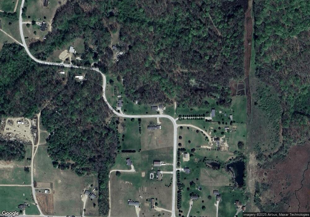
Map
Nearby Homes
- 17460 Mcphail Ave NE
- 493 Wainwright Rd
- 2195 20 Mile Rd NW
- 16343 Trent Ridge Dr
- 7422 E 22 Mile Rd
- 13509 Cypress Ave
- 15175 Hanna Ave NE
- 2590 Recluse Dr
- 14750 Sparta Ave
- 2553 21 Mile Rd
- 2169 Quarter Horse Dr NE
- 2217 Quarter Horse Dr NE Unit 27
- 2358 Quarter Horse Dr Unit 3
- The Taylor Plan at Saddlebrook
- The Stockton Plan at Saddlebrook
- The Stafford Plan at Saddlebrook
- The Rowen Plan at Saddlebrook
- The Mayfair Plan at Saddlebrook
- The Brinley Plan at Saddlebrook
- The Amber Plan at Saddlebrook
- 17325 Mcphail Ave NE Unit 4
- 17384 Mcphail Ave NE
- 17369 Mcphail Ave NE
- 17445 Mcphail Ave NE
- 17368 Mcphail Ave NE
- 205 21 Mile Rd NE
- 17255 Mcphail Ave NE
- 17277 Mcphail Ave NE
- 17272 Mcphail Ave NE
- 17330 Mcphail Ave NE
- 17440 Mcphail Ave NE
- 17447 Mcphail Ave NE
- 17450 Mcphail Ave NE
- 17219 Mcphail Ave NE Unit 1
- 145 21 Mile Rd NE
- 375 21 Mile Rd NE
- 195 21 Mile Rd NE
- 381 21 Mile Rd NE
- 399 21 Mile Rd NE
- 399 21 Mile Rd NE Unit 1