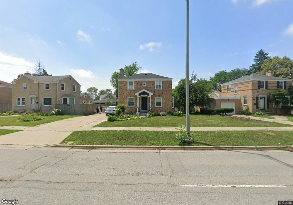
1738 Mannheim Rd Des Plaines, IL 60018
Estimated Value: $302,000 - $383,000
3
Beds
1
Bath
1,193
Sq Ft
$302/Sq Ft
Est. Value
About This Home
This home is located at 1738 Mannheim Rd, Des Plaines, IL 60018 and is currently estimated at $359,899, approximately $301 per square foot. 1738 Mannheim Rd is a home located in Cook County with nearby schools including Plainfield Elementary School, Algonquin Middle School, and Maine West High School.
Ownership History
Date
Name
Owned For
Owner Type
Purchase Details
Closed on
Oct 21, 2003
Sold by
Chimon John M and Chimon Layla A
Bought by
Husic Fatima and Husic Rihad
Current Estimated Value
Home Financials for this Owner
Home Financials are based on the most recent Mortgage that was taken out on this home.
Original Mortgage
$231,800
Outstanding Balance
$99,122
Interest Rate
5%
Mortgage Type
Unknown
Estimated Equity
$260,777
Purchase Details
Closed on
Oct 7, 2001
Sold by
Tubbs Henry A and Tubbs Joyce M
Bought by
Chimon John M and Chimon Layla A
Home Financials for this Owner
Home Financials are based on the most recent Mortgage that was taken out on this home.
Original Mortgage
$91,000
Interest Rate
6.99%
Create a Home Valuation Report for This Property
The Home Valuation Report is an in-depth analysis detailing your home's value as well as a comparison with similar homes in the area
Home Values in the Area
Average Home Value in this Area
Purchase History
| Date | Buyer | Sale Price | Title Company |
|---|---|---|---|
| Husic Fatima | $244,000 | Pntn | |
| Chimon John M | $190,000 | First American Title |
Source: Public Records
Mortgage History
| Date | Status | Borrower | Loan Amount |
|---|---|---|---|
| Open | Husic Fatima | $231,800 | |
| Previous Owner | Chimon John M | $91,000 |
Source: Public Records
Tax History Compared to Growth
Tax History
| Year | Tax Paid | Tax Assessment Tax Assessment Total Assessment is a certain percentage of the fair market value that is determined by local assessors to be the total taxable value of land and additions on the property. | Land | Improvement |
|---|---|---|---|---|
| 2024 | $7,563 | $32,000 | $6,608 | $25,392 |
| 2023 | $7,354 | $32,000 | $6,608 | $25,392 |
| 2022 | $7,354 | $32,000 | $6,608 | $25,392 |
| 2021 | $5,189 | $20,210 | $5,441 | $14,769 |
| 2020 | $6,773 | $25,516 | $5,441 | $20,075 |
| 2019 | $6,793 | $28,670 | $5,441 | $23,229 |
| 2018 | $6,446 | $24,989 | $4,664 | $20,325 |
| 2017 | $6,350 | $24,989 | $4,664 | $20,325 |
| 2016 | $6,250 | $24,989 | $4,664 | $20,325 |
| 2015 | $5,032 | $19,268 | $4,081 | $15,187 |
| 2014 | $4,942 | $19,268 | $4,081 | $15,187 |
| 2013 | $4,801 | $19,268 | $4,081 | $15,187 |
Source: Public Records
Map
Nearby Homes
- 1783 Lee St
- 1689 S Elm St
- 1724 Illinois St
- 1632 S Elm St
- 2017 Pine St Unit B
- 1721 Linden St
- 1050 E Oakton St
- 2131 Ash St Unit G
- 1536 Orchard St
- 991 Wicke Ave
- 2025 Plainfield Dr
- 1700 E Forest Ave
- 1394 Carol Ln
- 807 Fairmont Ct
- 1489 E Algonquin Rd
- 1928 Kennicott Ct
- 1640 S River Rd
- 773 E Lincoln Ave
- 2181 Plainfield Dr
- 1278 E River Dr
- 1732 Mannheim Rd
- 1746 Mannheim Rd
- 1730 Mannheim Rd
- 1752 Mannheim Rd
- 1728 Mannheim Rd
- 1760 Mannheim Rd
- 1338 Everett Ave
- 1330 Everett Ave
- 1763 Ash St
- 1781 Ash St
- 1755 Ash St
- 1768 Mannheim Rd
- 1346 Everett Ave
- 1737 Mannheim Rd
- 1733 Mannheim Rd
- 1739 Mannheim Rd
- 1743 Mannheim Rd
- 1731 Mannheim Rd
- 1785 Ash St
- 1729 Mannheim Rd