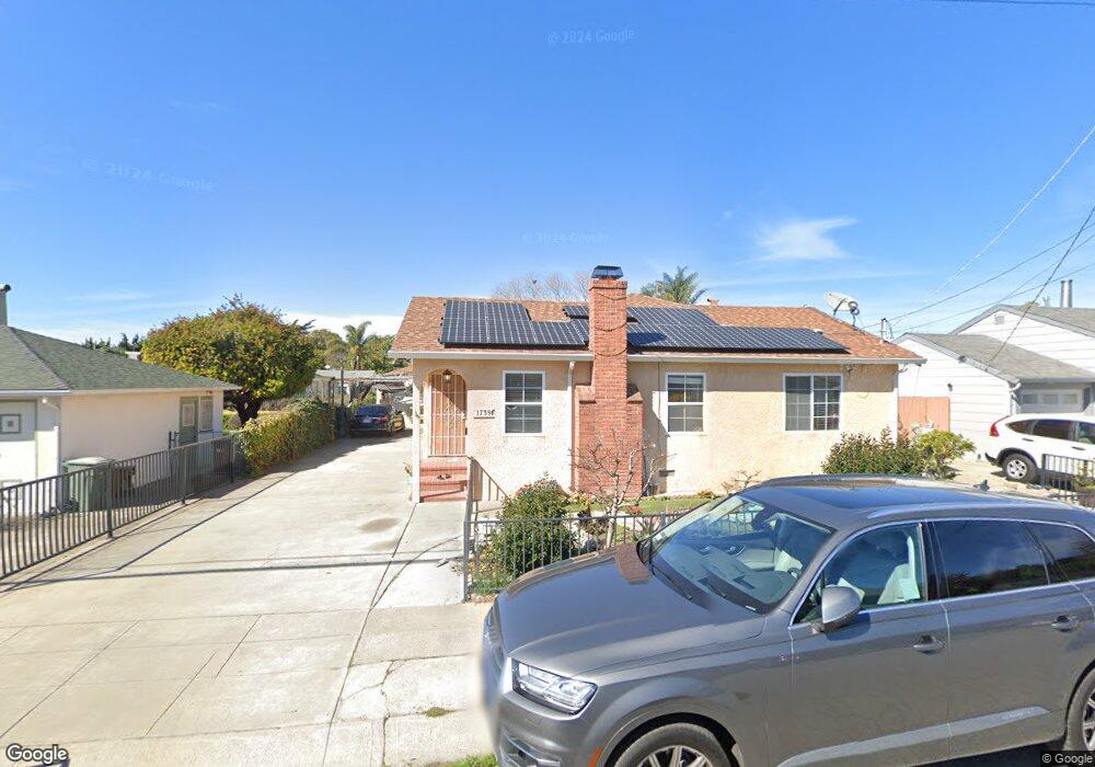
1739 141st Ave San Leandro, CA 94578
Upper Bal NeighborhoodEstimated Value: $828,000 - $937,000
4
Beds
2
Baths
1,452
Sq Ft
$593/Sq Ft
Est. Value
About This Home
This home is located at 1739 141st Ave, San Leandro, CA 94578 and is currently estimated at $860,883, approximately $592 per square foot. 1739 141st Ave is a home located in Alameda County with nearby schools including Jefferson Elementary School, Bancroft Middle School, and San Leandro High School.
Ownership History
Date
Name
Owned For
Owner Type
Purchase Details
Closed on
Sep 13, 2005
Sold by
Dao May
Bought by
Nguyen Tam Thi Thanh
Current Estimated Value
Purchase Details
Closed on
Jun 17, 2005
Sold by
Nguyen Tam Thanh Thi
Bought by
Dao May and Nguyen Tam Thi Thanh
Purchase Details
Closed on
Mar 30, 2004
Sold by
Ferguson Glenn J and Pehrson Wanda E
Bought by
Nguyen Tam Thanh Thi
Home Financials for this Owner
Home Financials are based on the most recent Mortgage that was taken out on this home.
Original Mortgage
$384,000
Outstanding Balance
$161,133
Interest Rate
4.12%
Mortgage Type
Negative Amortization
Estimated Equity
$699,750
Create a Home Valuation Report for This Property
The Home Valuation Report is an in-depth analysis detailing your home's value as well as a comparison with similar homes in the area
Home Values in the Area
Average Home Value in this Area
Purchase History
| Date | Buyer | Sale Price | Title Company |
|---|---|---|---|
| Nguyen Tam Thi Thanh | -- | -- | |
| Dao May | -- | -- | |
| Dao May | -- | -- | |
| Nguyen Tam Thanh Thi | $480,000 | Fidelity Natl Title Co Milpi |
Source: Public Records
Mortgage History
| Date | Status | Borrower | Loan Amount |
|---|---|---|---|
| Open | Nguyen Tam Thanh Thi | $384,000 |
Source: Public Records
Tax History Compared to Growth
Tax History
| Year | Tax Paid | Tax Assessment Tax Assessment Total Assessment is a certain percentage of the fair market value that is determined by local assessors to be the total taxable value of land and additions on the property. | Land | Improvement |
|---|---|---|---|---|
| 2025 | $8,889 | $682,420 | $204,726 | $477,694 |
| 2024 | $8,889 | $669,042 | $200,712 | $468,330 |
| 2023 | $8,912 | $655,924 | $196,777 | $459,147 |
| 2022 | $8,559 | $636,064 | $192,919 | $450,145 |
| 2021 | $8,318 | $623,460 | $189,138 | $441,322 |
| 2020 | $8,118 | $624,000 | $187,200 | $436,800 |
| 2019 | $7,862 | $611,764 | $183,529 | $428,235 |
| 2018 | $7,647 | $599,768 | $179,930 | $419,838 |
| 2017 | $7,490 | $588,008 | $176,402 | $411,606 |
| 2016 | $6,686 | $542,000 | $162,600 | $379,400 |
| 2015 | $5,825 | $470,000 | $141,000 | $329,000 |
| 2014 | $5,119 | $404,000 | $121,200 | $282,800 |
Source: Public Records
Map
Nearby Homes
- 2724 Benedict Dr
- 1293 Vistagrand Dr
- 1939 Placer Dr
- 14101 E 14th St Unit 306
- 14625 Bancroft Ave
- 1247 Benedict Ct
- 2147 Trombas Ave
- 1253 139th Ave
- 0 Saturn Dr
- 1876 Benedict Dr
- 14683 Midland Rd
- 775 Elsie Ave
- 1162 136th Ave
- 2290 Upland Rd
- 2378 Cheshire Place
- 14960 Portofino Cir
- 2460 Dundee Ct
- 2399 E 14th St Unit 19
- 2399 E 14th St Unit 143
- 2399 E 14th St Unit 66