Estimated Value: $833,000 - $1,117,925
--
Bed
2
Baths
9,203
Sq Ft
$103/Sq Ft
Est. Value
About This Home
This home is located at 1739 Highway 31 N, Beebe, AR 72012 and is currently estimated at $951,975, approximately $103 per square foot. 1739 Highway 31 N is a home with nearby schools including Beebe Elementary School, Beebe Junior High School, and Beebe Middle School.
Ownership History
Date
Name
Owned For
Owner Type
Purchase Details
Closed on
Dec 15, 2021
Sold by
Cedar Rock Investments Llc
Bought by
Cedar Rock Land And Cattle Llc
Current Estimated Value
Purchase Details
Closed on
Dec 29, 2004
Bought by
Williams,Steven R&Terry Trust
Purchase Details
Closed on
May 1, 1992
Bought by
Cedar Rock Ranch Corp
Purchase Details
Closed on
Mar 1, 1987
Bought by
Williams
Create a Home Valuation Report for This Property
The Home Valuation Report is an in-depth analysis detailing your home's value as well as a comparison with similar homes in the area
Home Values in the Area
Average Home Value in this Area
Purchase History
| Date | Buyer | Sale Price | Title Company |
|---|---|---|---|
| Cedar Rock Land And Cattle Llc | $1,767,000 | Wood Law Firm | |
| Williams Steven R | $733,000 | None Available | |
| Williams Steven R | $733,000 | Wood David J | |
| Williams,Steven R&Terry Trust | -- | -- | |
| Cedar Rock Ranch Corp | -- | -- | |
| Williams | $16,000 | -- |
Source: Public Records
Tax History Compared to Growth
Tax History
| Year | Tax Paid | Tax Assessment Tax Assessment Total Assessment is a certain percentage of the fair market value that is determined by local assessors to be the total taxable value of land and additions on the property. | Land | Improvement |
|---|---|---|---|---|
| 2025 | $9,601 | $235,890 | $5,950 | $229,940 |
| 2024 | $9,601 | $235,890 | $5,950 | $229,940 |
| 2023 | $9,603 | $235,890 | $5,950 | $229,940 |
| 2022 | $9,603 | $235,890 | $5,950 | $229,940 |
| 2021 | $9,603 | $206,370 | $5,440 | $200,930 |
| 2020 | $8,051 | $197,800 | $2,620 | $195,180 |
| 2019 | $8,046 | $197,800 | $2,620 | $195,180 |
| 2018 | $7,471 | $197,800 | $2,620 | $195,180 |
| 2017 | $6,322 | $197,800 | $2,620 | $195,180 |
| 2016 | $6,322 | $155,320 | $2,620 | $152,700 |
| 2015 | $5,747 | $141,200 | $2,210 | $138,990 |
| 2014 | $4,438 | $109,050 | $2,210 | $106,840 |
Source: Public Records
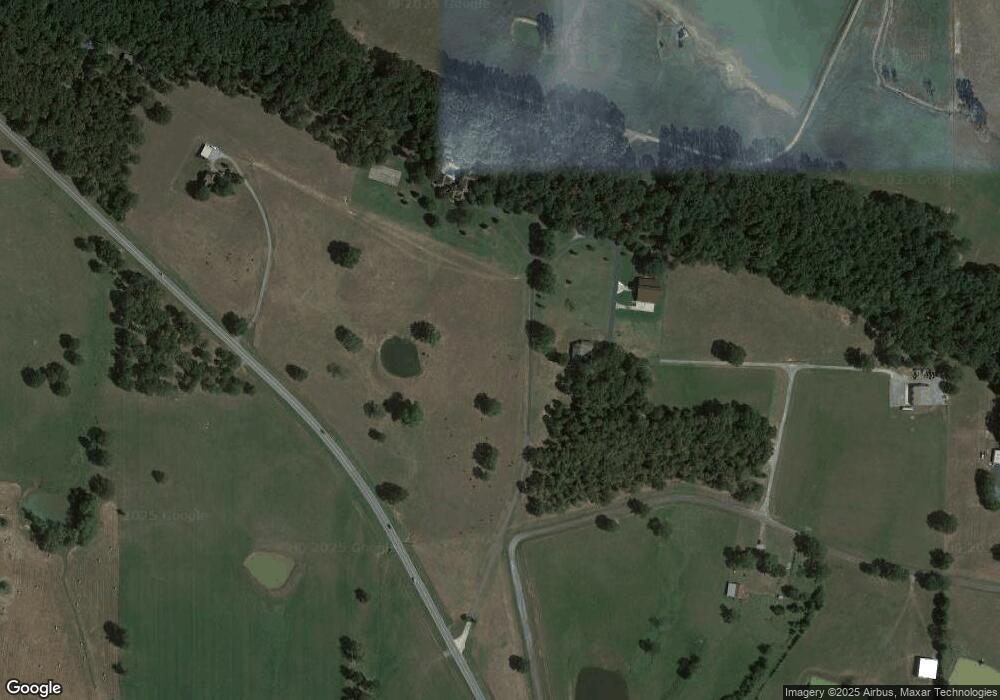
Map
Nearby Homes
- LOT 6 S Ashley Horton Ln
- LOT 8 S Ashley Horton Ln
- 139 Andrew Ln
- 131 Sandy Ford Rd
- 157 Sandy Ford Rd
- 113 Friendship Ln
- 121 Donald Choate Rd
- 00 Sandy Ford Rd
- 3689 Highway 267 S
- 000 Louie Pruitt Rd
- 661 Blue Hole Rd
- 3655 Highway 267 S
- 3830 Highway 267 S
- 136 Highway 267 Spur
- 2235 Highway 31 N
- 202 W Blake H Ln
- 980 S Highway 305
- 0 Rosewood Subdivision
- 654 Red Hill Rd
- 218 Heather Loop
- 1735 Highway 31 N
- 1733 Highway 31 N
- 60 Liles Rd
- 40 Liles Rd
- 1704 Highway 31 N
- 0 Rocky Branch Estates
- Lot 5 Rocky Branch Estates
- 1801 Highway 31 N
- 45 Liles Rd
- 1802 Highway 31 N
- 1812 Highway 31 N
- 1814 Highway 31 N
- 1814 Highway 31 N
- 1647 Highway 31 N
- 1823 Highway 31 N
- 247 O C Gassaway Ln
- 87 Liles Rd
- 181 Rocky Branch Rd
- 179 Rocky Branch Rd
- 104 Liles Rd