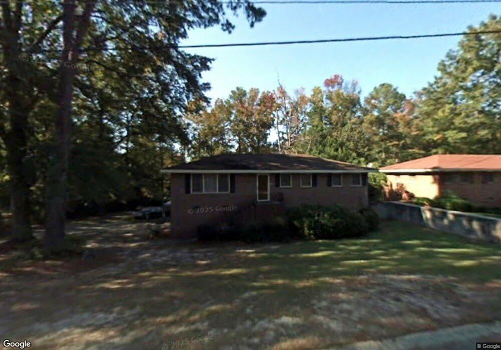
1739 Lancaster Place Macon, GA 31206
Estimated Value: $110,000 - $136,000
3
Beds
2
Baths
1,250
Sq Ft
$97/Sq Ft
Est. Value
About This Home
This home is located at 1739 Lancaster Place, Macon, GA 31206 and is currently estimated at $120,918, approximately $96 per square foot. 1739 Lancaster Place is a home located in Bibb County with nearby schools including Hartley Elementary School, Southwest High School, and Cirrus Charter Academy.
Ownership History
Date
Name
Owned For
Owner Type
Purchase Details
Closed on
Oct 14, 2005
Sold by
Stewart Charles
Bought by
Burnette Quentilous
Current Estimated Value
Home Financials for this Owner
Home Financials are based on the most recent Mortgage that was taken out on this home.
Original Mortgage
$89,195
Outstanding Balance
$47,299
Interest Rate
5.71%
Mortgage Type
FHA
Estimated Equity
$73,619
Purchase Details
Closed on
Jul 1, 2005
Home Financials for this Owner
Home Financials are based on the most recent Mortgage that was taken out on this home.
Original Mortgage
$62,000
Interest Rate
5.59%
Mortgage Type
Unknown
Purchase Details
Closed on
Oct 5, 2004
Purchase Details
Closed on
Mar 30, 1998
Create a Home Valuation Report for This Property
The Home Valuation Report is an in-depth analysis detailing your home's value as well as a comparison with similar homes in the area
Home Values in the Area
Average Home Value in this Area
Purchase History
| Date | Buyer | Sale Price | Title Company |
|---|---|---|---|
| Burnette Quentilous | $89,900 | None Available | |
| -- | -- | -- | |
| Stewart Charles | $52,500 | None Available | |
| -- | -- | -- | |
| -- | $56,200 | -- | |
| -- | $56,000 | -- |
Source: Public Records
Mortgage History
| Date | Status | Borrower | Loan Amount |
|---|---|---|---|
| Open | Burnette Quentilous | $89,195 | |
| Previous Owner | Stewart Charles | $62,000 |
Source: Public Records
Tax History Compared to Growth
Tax History
| Year | Tax Paid | Tax Assessment Tax Assessment Total Assessment is a certain percentage of the fair market value that is determined by local assessors to be the total taxable value of land and additions on the property. | Land | Improvement |
|---|---|---|---|---|
| 2025 | $779 | $38,695 | $5,600 | $33,095 |
| 2024 | $805 | $38,695 | $5,600 | $33,095 |
| 2023 | $258 | $35,149 | $5,600 | $29,549 |
| 2022 | $746 | $28,556 | $4,950 | $23,606 |
| 2021 | $561 | $21,757 | $3,772 | $17,985 |
| 2020 | $362 | $16,318 | $2,829 | $13,489 |
| 2019 | $365 | $16,318 | $2,829 | $13,489 |
| 2018 | $739 | $16,318 | $2,829 | $13,489 |
| 2017 | $349 | $16,318 | $2,829 | $13,489 |
| 2016 | $322 | $16,318 | $2,829 | $13,489 |
| 2015 | $553 | $18,291 | $2,829 | $15,462 |
| 2014 | $688 | $18,291 | $2,829 | $15,462 |
Source: Public Records
Map
Nearby Homes
- 1740 Downing Cir
- 1504 Berkshire Dr
- 3254 Markwood Dr
- 3339 Markwood Dr
- 2350 Anthony Terrace
- 3445 Travis Blvd
- 3446 Tamplin Terrace
- 1664 Randall Rd
- 1196 Harley St
- 3480 Travis Blvd
- 2249 Lowe St
- 808 Patton Ave
- 815 Edwards Ave
- 1527 Hurley Cir
- 800 Patton Ave
- 1545 Anthony Rd
- 3158 Brownell Ave
- 736 Key St
- 742 Grayson Ave
- 777 Grosso Ave
- 1745 Lancaster Place
- 1733 Lancaster Place
- 1758 Winston Dr
- 1751 Downing Cir
- 1738 Lancaster Place
- 1738 Lancaster Place Unit J
- 1733 Downing Cir
- 1752 Winston Dr
- 1764 Winston Dr
- 1727 Lancaster Place
- 1732 Lancaster Place
- 1759 Downing Cir
- 1721 Downing Cir
- 1772 Winston Dr
- 1746 Winston Dr
- 1716 Lancaster Place
- 1721 Lancaster Place
- 1707 Canterbury Rd
- 2831 Kent Dr
- 1725 Canterbury Rd