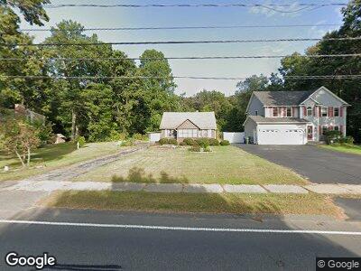
1739 Parker St Springfield, MA 01128
Sixteen Acres NeighborhoodEstimated Value: $253,320 - $286,000
2
Beds
1
Bath
888
Sq Ft
$300/Sq Ft
Est. Value
About This Home
This home is located at 1739 Parker St, Springfield, MA 01128 and is currently estimated at $266,330, approximately $299 per square foot. 1739 Parker St is a home located in Hampden County with nearby schools including Daniel B Brunton, M Marcus Kiley Middle, and Springfield High School of Science and Technology.
Ownership History
Date
Name
Owned For
Owner Type
Purchase Details
Closed on
Mar 26, 2009
Sold by
Burrell Gary J and Burrell Stanley C
Bought by
Willoughby Linda M
Current Estimated Value
Home Financials for this Owner
Home Financials are based on the most recent Mortgage that was taken out on this home.
Original Mortgage
$99,750
Interest Rate
5.14%
Mortgage Type
Purchase Money Mortgage
Create a Home Valuation Report for This Property
The Home Valuation Report is an in-depth analysis detailing your home's value as well as a comparison with similar homes in the area
Home Values in the Area
Average Home Value in this Area
Purchase History
| Date | Buyer | Sale Price | Title Company |
|---|---|---|---|
| Willoughby Linda M | $105,000 | -- |
Source: Public Records
Mortgage History
| Date | Status | Borrower | Loan Amount |
|---|---|---|---|
| Open | Willoughby Linda M | $92,600 | |
| Closed | Willoughby Linda M | $99,750 |
Source: Public Records
Tax History Compared to Growth
Tax History
| Year | Tax Paid | Tax Assessment Tax Assessment Total Assessment is a certain percentage of the fair market value that is determined by local assessors to be the total taxable value of land and additions on the property. | Land | Improvement |
|---|---|---|---|---|
| 2024 | $3,410 | $212,300 | $68,900 | $143,400 |
| 2023 | $3,030 | $177,700 | $65,700 | $112,000 |
| 2022 | $3,348 | $177,900 | $68,600 | $109,300 |
| 2021 | $3,345 | $177,000 | $62,400 | $114,600 |
| 2020 | $3,021 | $154,700 | $62,400 | $92,300 |
| 2019 | $2,798 | $142,200 | $62,400 | $79,800 |
| 2018 | $2,765 | $140,500 | $62,400 | $78,100 |
| 2017 | $2,752 | $140,000 | $62,400 | $77,600 |
| 2016 | $2,843 | $144,600 | $62,400 | $82,200 |
| 2015 | $2,791 | $141,900 | $62,400 | $79,500 |
Source: Public Records
Map
Nearby Homes
- 57 Rochford Cir
- 15 Berard Cir
- 17 Skyridge Ln
- 32 Cottonwood Ln
- 56 Tallyho Dr
- 48 Zephyr Ln
- 11 Hanson Dr
- 16 Delano Dr
- 38 Fox Woods Dr
- 18 Crystal Brook Dr
- 109 W Crystal Brook Dr
- 616 Cooley St
- 179 Tamarack Dr
- 80 Orchard Rd
- 49 Hillside Dr
- 89 Carol Ann St
- 1424 Plumtree Rd
- 96 Clearbrook Dr
- 399 Elm St
- 75 Penncastle St