17398 SE 232nd Dr Damascus, OR 97089
Estimated Value: $464,000 - $829,000
2
Beds
1
Bath
896
Sq Ft
$763/Sq Ft
Est. Value
About This Home
This home is located at 17398 SE 232nd Dr, Damascus, OR 97089 and is currently estimated at $684,075, approximately $763 per square foot. 17398 SE 232nd Dr is a home located in Clackamas County with nearby schools including River Mill Elementary School, Estacada Middle School, and Estacada High School.
Ownership History
Date
Name
Owned For
Owner Type
Purchase Details
Closed on
Oct 21, 2020
Sold by
Head Robin L
Bought by
Head Byron J and Head Robin L
Current Estimated Value
Purchase Details
Closed on
Oct 11, 1999
Sold by
Head Byron J
Bought by
Head Robin L
Home Financials for this Owner
Home Financials are based on the most recent Mortgage that was taken out on this home.
Original Mortgage
$160,000
Outstanding Balance
$47,252
Interest Rate
7.77%
Estimated Equity
$636,823
Purchase Details
Closed on
Aug 1, 1988
Bought by
Head Robin L
Create a Home Valuation Report for This Property
The Home Valuation Report is an in-depth analysis detailing your home's value as well as a comparison with similar homes in the area
Home Values in the Area
Average Home Value in this Area
Purchase History
| Date | Buyer | Sale Price | Title Company |
|---|---|---|---|
| Head Byron J | -- | Accommodation | |
| Head Robin L | -- | First American Title Ins Co | |
| Head Robin L | $40,000 | -- |
Source: Public Records
Mortgage History
| Date | Status | Borrower | Loan Amount |
|---|---|---|---|
| Open | Head Robin L | $160,000 |
Source: Public Records
Tax History Compared to Growth
Tax History
| Year | Tax Paid | Tax Assessment Tax Assessment Total Assessment is a certain percentage of the fair market value that is determined by local assessors to be the total taxable value of land and additions on the property. | Land | Improvement |
|---|---|---|---|---|
| 2025 | $3,002 | $243,223 | -- | -- |
| 2024 | $3,171 | $236,266 | -- | -- |
| 2023 | $3,171 | $208,564 | $0 | $0 |
| 2022 | $2,636 | $202,602 | $0 | $0 |
| 2021 | $2,565 | $196,806 | $0 | $0 |
| 2020 | $2,466 | $191,188 | $0 | $0 |
| 2019 | $2,439 | $185,742 | $0 | $0 |
| 2018 | $2,380 | $180,464 | $0 | $0 |
| 2017 | $2,270 | $175,318 | $0 | $0 |
| 2016 | $2,236 | $170,330 | $0 | $0 |
| 2015 | $2,095 | $160,858 | $0 | $0 |
| 2014 | $2,017 | $150,082 | $0 | $0 |
Source: Public Records
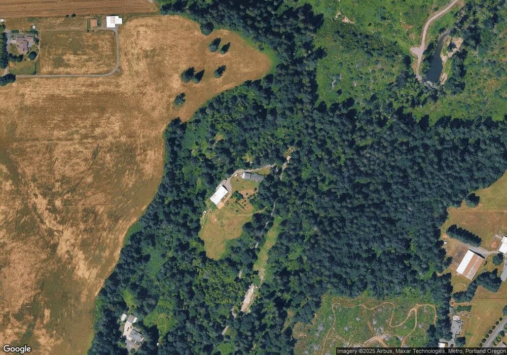
Map
Nearby Homes
- 17171 SE 232nd Dr
- 17386 SE 232nd Dr
- 23636 SE Highway 224
- 17000 SE Forest Hill Dr
- 25225 SE Hwy 224
- 21200 SE Curtis Rd
- 0 S Latourette Rd
- 26190 SE Highway 224
- 26475 SE Highway 224
- 27001 SE Kelso Rd
- 14090 SE 268th Ct
- 12650 SE Staley Ave
- 13895 SE Rust Way
- 23322 SE Bohna Park Rd
- 26725 SE Stewart Ln
- 11790 SE Wildwood Dr
- 19710 SE Semple Rd
- 19691 SE Semple Rd
- 29990 SE Knox Rd
- 27257 SE Fairmount Dr
- 17380 SE 232nd Dr
- 17380 SE 232nd New Price Dr
- 16396 SE 232nd Dr
- 16919 SE Bartell Rd
- 17370 SE 232nd Dr
- 16959 SE Bartell Rd
- 17390 SE 232nd Dr
- 17031 SE Bartell Rd
- 16755 SE Bartell Rd
- 17221 SE Bartell Rd
- 17040 SE Bartell Rd
- 16550 SE 232nd Dr
- 17200 SE Bartell Rd
- 16910 SE Bartell Rd
- 16960 SE Bartell Rd
- 17300 SE Bartell Rd
- 16800 SE Bartell Rd
- 17350 SE Bartell Rd
- 16969 SE 232nd Dr
- 16730 SE Bartell Rd