174 Branch Hill Rd Milton, NH 03851
Estimated Value: $465,774 - $536,000
3
Beds
2
Baths
1,805
Sq Ft
$275/Sq Ft
Est. Value
About This Home
This home is located at 174 Branch Hill Rd, Milton, NH 03851 and is currently estimated at $497,258, approximately $275 per square foot. 174 Branch Hill Rd is a home located in Strafford County with nearby schools including Milton Elementary School, Nute Junior High School, and Nute High School.
Ownership History
Date
Name
Owned For
Owner Type
Purchase Details
Closed on
Nov 18, 2019
Sold by
Davidson Dineen M and Davidson Vicki M
Bought by
Davidson Dineen M
Current Estimated Value
Home Financials for this Owner
Home Financials are based on the most recent Mortgage that was taken out on this home.
Original Mortgage
$175,000
Outstanding Balance
$153,286
Interest Rate
3.6%
Mortgage Type
New Conventional
Estimated Equity
$343,972
Create a Home Valuation Report for This Property
The Home Valuation Report is an in-depth analysis detailing your home's value as well as a comparison with similar homes in the area
Home Values in the Area
Average Home Value in this Area
Purchase History
| Date | Buyer | Sale Price | Title Company |
|---|---|---|---|
| Davidson Dineen M | -- | None Available |
Source: Public Records
Mortgage History
| Date | Status | Borrower | Loan Amount |
|---|---|---|---|
| Open | Davidson Dineen M | $175,000 |
Source: Public Records
Tax History Compared to Growth
Tax History
| Year | Tax Paid | Tax Assessment Tax Assessment Total Assessment is a certain percentage of the fair market value that is determined by local assessors to be the total taxable value of land and additions on the property. | Land | Improvement |
|---|---|---|---|---|
| 2024 | $5,168 | $370,489 | $123,189 | $247,300 |
| 2023 | $5,081 | $207,067 | $58,367 | $148,700 |
| 2022 | $5,072 | $207,188 | $58,488 | $148,700 |
| 2021 | $4,743 | $207,498 | $58,798 | $148,700 |
| 2020 | $4,599 | $207,542 | $58,842 | $148,700 |
| 2019 | $4,890 | $207,569 | $58,869 | $148,700 |
| 2018 | $5,003 | $196,351 | $48,951 | $147,400 |
| 2017 | $5,156 | $199,132 | $48,732 | $150,400 |
| 2016 | $4,923 | $173,341 | $48,741 | $124,600 |
| 2015 | $4,958 | $173,341 | $48,741 | $124,600 |
| 2014 | $4,614 | $172,741 | $51,741 | $121,000 |
| 2013 | $4,062 | $156,952 | $40,552 | $116,400 |
Source: Public Records
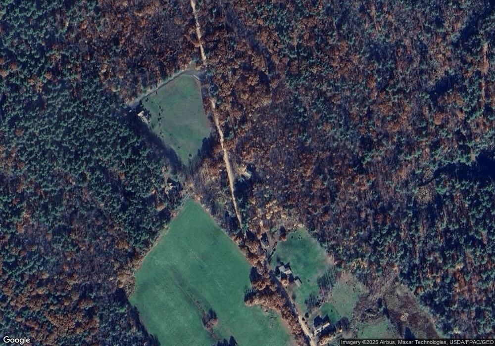
Map
Nearby Homes
- 1765 White Mountain Hwy
- 1451 White Mountain Hwy
- 0 White Mountain Hwy Unit 5033185
- 564 White Mountain Hwy
- 132 Main St
- 44 Main St
- 47 Church St
- 96 French St
- 75 Main St
- 46-2 & 47 New Hampshire 153
- Lot 19-17 NE Pond Rd
- 247 NE Pond Rd
- 0 Pine Ridge Rd Unit 51
- 15 Adams Way
- Map 223 lot 31 Access Rd
- lot 20 Access Rd
- Lot 19 Access Rd
- lot 15 Access Rd
- lot 14 Access Rd
- 169 Whippoorwill Rd
- 167 Branch Hill Rd
- 199 Branch Hill Rd
- 100 Branch Hill Rd
- 126 Branch Hill Rd
- 136 Branch Hill Rd
- 150 Branch Hill Rd
- 156 Branch Hill Rd
- 179 Branch Hill Rd
- 311 Applebee Rd
- 505 Applebee Rd
- 11 Carleton Rd
- 17 Carleton Rd
- 100 Applebee Rd
- 1574 White Mountain Hwy
- 1445 White Mountain Hwy
- 1435 White Mountain Hwy
- 1710 White Mountain Hwy
- 1545 White Mountain Hwy
- 297 Harmony Dr
- 197 Harmony Dr