174 Dunham Rd Charlestown, NH 03603
Estimated Value: $432,000 - $559,177
2
Beds
1
Bath
1,977
Sq Ft
$258/Sq Ft
Est. Value
About This Home
This home is located at 174 Dunham Rd, Charlestown, NH 03603 and is currently estimated at $510,726, approximately $258 per square foot. 174 Dunham Rd is a home with nearby schools including Unity Elementary School.
Ownership History
Date
Name
Owned For
Owner Type
Purchase Details
Closed on
Mar 29, 2010
Sold by
Rowe Douglas
Bought by
Bryant Michele H
Current Estimated Value
Purchase Details
Closed on
Nov 12, 2004
Sold by
Rowe Douglas
Bought by
Rowe Douglas
Home Financials for this Owner
Home Financials are based on the most recent Mortgage that was taken out on this home.
Original Mortgage
$403,700
Interest Rate
5.75%
Mortgage Type
Purchase Money Mortgage
Create a Home Valuation Report for This Property
The Home Valuation Report is an in-depth analysis detailing your home's value as well as a comparison with similar homes in the area
Home Values in the Area
Average Home Value in this Area
Purchase History
| Date | Buyer | Sale Price | Title Company |
|---|---|---|---|
| Bryant Michele H | $217,700 | -- | |
| Rowe Douglas | $71,000 | -- |
Source: Public Records
Mortgage History
| Date | Status | Borrower | Loan Amount |
|---|---|---|---|
| Previous Owner | Rowe Douglas | $403,700 |
Source: Public Records
Tax History Compared to Growth
Tax History
| Year | Tax Paid | Tax Assessment Tax Assessment Total Assessment is a certain percentage of the fair market value that is determined by local assessors to be the total taxable value of land and additions on the property. | Land | Improvement |
|---|---|---|---|---|
| 2024 | $7,690 | $441,200 | $83,500 | $357,700 |
| 2023 | $7,634 | $254,800 | $56,100 | $198,700 |
| 2022 | $7,387 | $254,800 | $56,100 | $198,700 |
| 2021 | $7,292 | $254,800 | $56,100 | $198,700 |
| 2020 | $7,078 | $254,800 | $56,100 | $198,700 |
| 2019 | $7,162 | $251,400 | $56,100 | $195,300 |
| 2018 | $6,620 | $221,100 | $52,800 | $168,300 |
| 2017 | $6,099 | $210,900 | $52,800 | $158,100 |
| 2016 | $6,026 | $200,000 | $52,800 | $147,200 |
| 2015 | $4,988 | $180,800 | $52,800 | $128,000 |
| 2014 | $4,779 | $180,800 | $52,800 | $128,000 |
| 2013 | $1,798 | $72,800 | $45,000 | $27,800 |
Source: Public Records
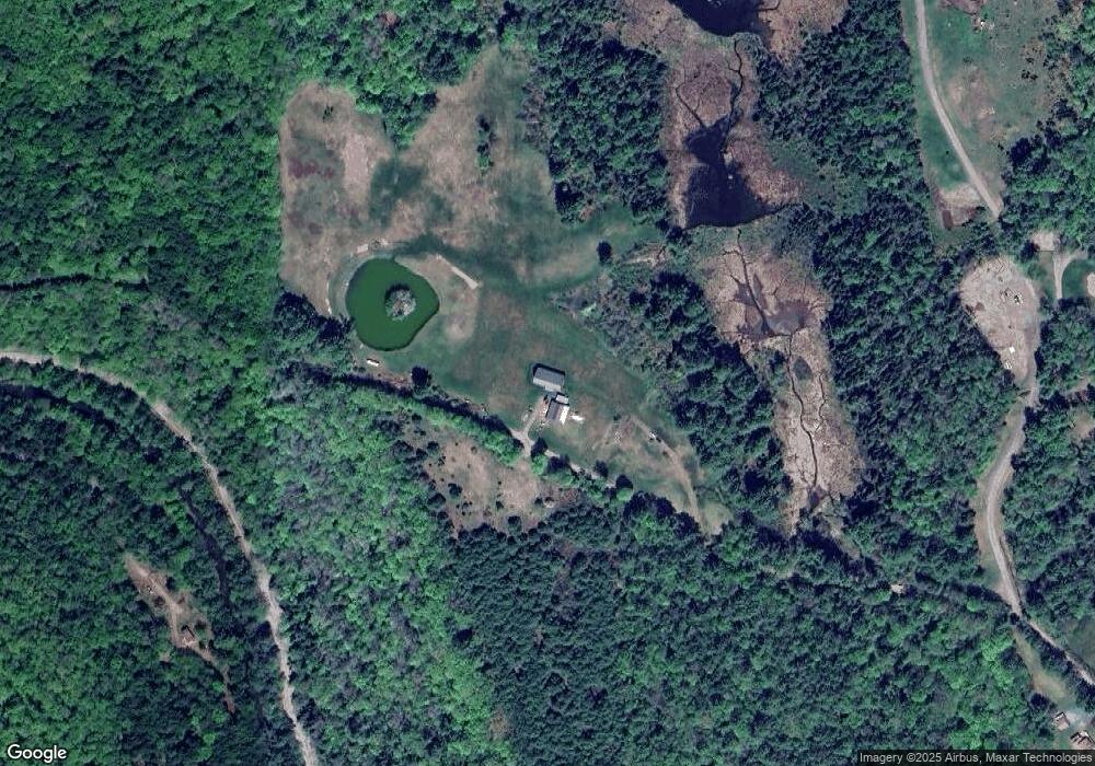
Map
Nearby Homes
- 00 Stage Rd Unit 440
- 004 W Unity Rd
- 003 W Unity Rd
- 02 W Unity Rd
- 81 River Rd
- 237 Halls Pond Rd
- 0 Peperes Rd Unit 24.10
- 0 Peperes Rd Unit 93
- 3507 Claremont Rd
- 63 David Ave
- 0 Saints Way Unit 24.5
- 3910 Claremont Rd
- 741 2nd Nh Turnpike
- 0 Old Claremont Rd
- 1025 Mountainview Ave
- 1010 Morways Park
- 76 Hillside Dr
- 0 Claremont Rd Unit 6
- 52 Morways Park
- 41 Morways Park
- 34 Sawyer Brook Rd
- 200 Dunham Rd
- 82 Sawyer Brook Rd
- 105 Dunham Rd
- 0 Sawyer Brook Rd Unit 4396528
- 0 Sawyer Brook Rd Unit 4344364
- 28 Sawyer Brook Rd
- 506 Stage Rd
- 71 Dunham Rd
- 0 Unity Stage Rd
- 485 Stage Rd
- 38 Dunham Rd
- 726 Stage Rd
- 723 Stage Rd
- 28 Costa Dr
- 50 Dunham Rd
- 750 Stage Rd
- 481 Stage Rd
- 23 Costa Dr
- 776 Stage Rd