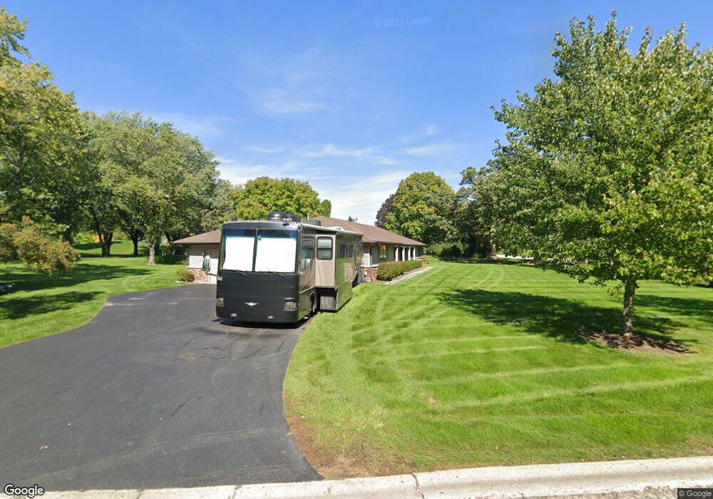
174 Hillcrest Dr Barrington, IL 60010
South Barrington NeighborhoodEstimated Value: $622,000 - $697,045
4
Beds
2
Baths
2,229
Sq Ft
$296/Sq Ft
Est. Value
About This Home
This home is located at 174 Hillcrest Dr, Barrington, IL 60010 and is currently estimated at $659,011, approximately $295 per square foot. 174 Hillcrest Dr is a home located in Cook County with nearby schools including Arnett C. Lines Elementary School, Barrington Middle School Station Campus, and Barrington High School.
Ownership History
Date
Name
Owned For
Owner Type
Purchase Details
Closed on
Apr 28, 1997
Sold by
Cosmopolitan Bank & Trust
Bought by
Paul Clint and Paul Karen
Current Estimated Value
Home Financials for this Owner
Home Financials are based on the most recent Mortgage that was taken out on this home.
Original Mortgage
$214,600
Interest Rate
8.27%
Mortgage Type
Balloon
Create a Home Valuation Report for This Property
The Home Valuation Report is an in-depth analysis detailing your home's value as well as a comparison with similar homes in the area
Home Values in the Area
Average Home Value in this Area
Purchase History
| Date | Buyer | Sale Price | Title Company |
|---|---|---|---|
| Paul Clint | $240,000 | -- |
Source: Public Records
Mortgage History
| Date | Status | Borrower | Loan Amount |
|---|---|---|---|
| Closed | Paul Clint | $214,600 |
Source: Public Records
Tax History Compared to Growth
Tax History
| Year | Tax Paid | Tax Assessment Tax Assessment Total Assessment is a certain percentage of the fair market value that is determined by local assessors to be the total taxable value of land and additions on the property. | Land | Improvement |
|---|---|---|---|---|
| 2024 | $9,855 | $37,337 | $12,029 | $25,308 |
| 2023 | $9,614 | $47,001 | $12,029 | $34,972 |
| 2022 | $9,614 | $47,001 | $12,029 | $34,972 |
| 2021 | $9,542 | $41,526 | $7,350 | $34,176 |
| 2020 | $9,264 | $41,526 | $7,350 | $34,176 |
| 2019 | $9,855 | $49,618 | $7,350 | $42,268 |
| 2018 | $8,405 | $41,255 | $6,682 | $34,573 |
| 2017 | $8,250 | $41,255 | $6,682 | $34,573 |
| 2016 | $8,924 | $45,536 | $6,682 | $38,854 |
| 2015 | $8,500 | $40,461 | $6,014 | $34,447 |
| 2014 | $8,416 | $40,461 | $6,014 | $34,447 |
| 2013 | $8,049 | $40,461 | $6,014 | $34,447 |
Source: Public Records
Map
Nearby Homes
- 169 Crestview Ct
- 158 S Ela Rd
- 129 Roth Ave
- 101 Tudor Dr
- 110 Tudor Dr
- 104 Howe Terrace
- 1314 Dunheath Dr
- 185 Cold Spring Rd
- 86 Dundee Rd
- 290 Cold Spring Rd
- 44 Oak Ridge Ln
- 104 Lois Ln
- 1421 Kirkwall Ct
- 101 Surrey Ln
- 523 N Ela Rd
- 21 Ferndale Rd
- 1010 Oakland Dr
- 36 Ferndale Rd
- 1884 Tweed Rd
- 336 Eastern Ave Unit C4
- 134 S Ela Rd
- 175 Hillcrest Dr
- 132 S Ela Rd
- 140 S Ela Rd
- 130 S Ela Rd
- 142 S Ela Rd
- 177 Crestview Ct
- 171 E Hillside Rd
- 169 E Hillside Rd
- 144 S Ela Rd
- 166 Hillcrest Dr
- 200 E Hillside Rd
- 167 E Hillside Rd
- 167 Hillcrest Dr
- 172 E Hillside Rd
- 126 S Ela Rd
- 171 Crestview Ct
- 164 Hillcrest Dr
- 148 S Ela Rd
- 170 Crestview Ct