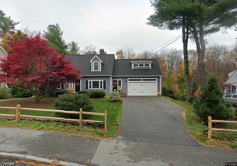
174 Holt Rd Andover, MA 01810
Phillips Academy NeighborhoodEstimated Value: $1,051,000 - $1,380,000
2
Beds
3
Baths
2,672
Sq Ft
$433/Sq Ft
Est. Value
About This Home
This home is located at 174 Holt Rd, Andover, MA 01810 and is currently estimated at $1,157,184, approximately $433 per square foot. 174 Holt Rd is a home located in Essex County with nearby schools including Bancroft Elementary School, Doherty Middle School, and Andover High School.
Ownership History
Date
Name
Owned For
Owner Type
Purchase Details
Closed on
Apr 1, 2024
Sold by
Marshall Mary A
Bought by
Marshall St Pierre Rt and St Pierre
Current Estimated Value
Purchase Details
Closed on
Jul 29, 1994
Sold by
Obrien Kevin
Bought by
Marshall Mary A
Home Financials for this Owner
Home Financials are based on the most recent Mortgage that was taken out on this home.
Original Mortgage
$110,000
Interest Rate
8.25%
Mortgage Type
Purchase Money Mortgage
Purchase Details
Closed on
Dec 23, 1991
Sold by
Obrien Ex Joseph E
Bought by
Obrien Kevin
Create a Home Valuation Report for This Property
The Home Valuation Report is an in-depth analysis detailing your home's value as well as a comparison with similar homes in the area
Home Values in the Area
Average Home Value in this Area
Purchase History
| Date | Buyer | Sale Price | Title Company |
|---|---|---|---|
| Marshall St Pierre Rt | -- | None Available | |
| Marshall St Pierre Rt | -- | None Available | |
| Marshall Mary A | $185,000 | -- | |
| Marshall Mary A | $185,000 | -- | |
| Obrien Kevin | $140,000 | -- | |
| Obrien Kevin | $140,000 | -- |
Source: Public Records
Mortgage History
| Date | Status | Borrower | Loan Amount |
|---|---|---|---|
| Previous Owner | Obrien Kevin | $150,000 | |
| Previous Owner | Obrien Kevin | $110,000 |
Source: Public Records
Tax History
| Year | Tax Paid | Tax Assessment Tax Assessment Total Assessment is a certain percentage of the fair market value that is determined by local assessors to be the total taxable value of land and additions on the property. | Land | Improvement |
|---|---|---|---|---|
| 2024 | $12,139 | $942,500 | $523,400 | $419,100 |
| 2023 | $11,606 | $849,600 | $471,400 | $378,200 |
| 2022 | $11,124 | $761,900 | $417,200 | $344,700 |
| 2021 | $10,640 | $695,900 | $379,300 | $316,600 |
| 2020 | $10,202 | $679,700 | $370,000 | $309,700 |
| 2019 | $10,038 | $657,400 | $355,700 | $301,700 |
| 2018 | $9,586 | $612,900 | $335,400 | $277,500 |
| 2017 | $9,167 | $603,900 | $328,800 | $275,100 |
| 2016 | $8,950 | $603,900 | $328,800 | $275,100 |
| 2015 | $8,615 | $575,500 | $316,200 | $259,300 |
Source: Public Records
Map
Nearby Homes
- 133B Salem
- 104 Salem St
- 56 Sunset Rock Rd
- 16 Porter Rd
- 4 Hammond Way
- 57 Salem St
- 52 Salem St
- 31 Porter Rd
- 3 West Hollow
- 11 Wyncrest Cir
- 3 Torr St
- 100.5 Main St Unit Q
- 96 N Main St Unit 3
- 47 Harold Parker Rd
- 105 Central St
- 33 Chestnut St Unit 2
- 991 Johnson St
- Lot 7 Weeping Willow Dr
- 1 Delisio Dr
- 18 Dale St Unit 9D
- 178 Holt Rd
- 172 Holt Rd
- 173 Holt Rd
- 3 Blueberry Cir
- 180 Holt Rd
- 22 Blueberry Hill Rd
- 183 Holt Rd
- 20 Blueberry Hill Rd
- 171 Holt Rd
- 24 Blueberry Hill Rd
- 15 Moreland Ave
- 192 Holt Rd
- 191 Holt Rd
- 5 Blueberry Cir
- 15 Blueberry Hill Rd
- 167 Holt Rd
- 9 Moreland Ave
- 23 Blueberry Hill Rd
- 195 Holt Rd
- 4 Blueberry Cir
Your Personal Tour Guide
Ask me questions while you tour the home.