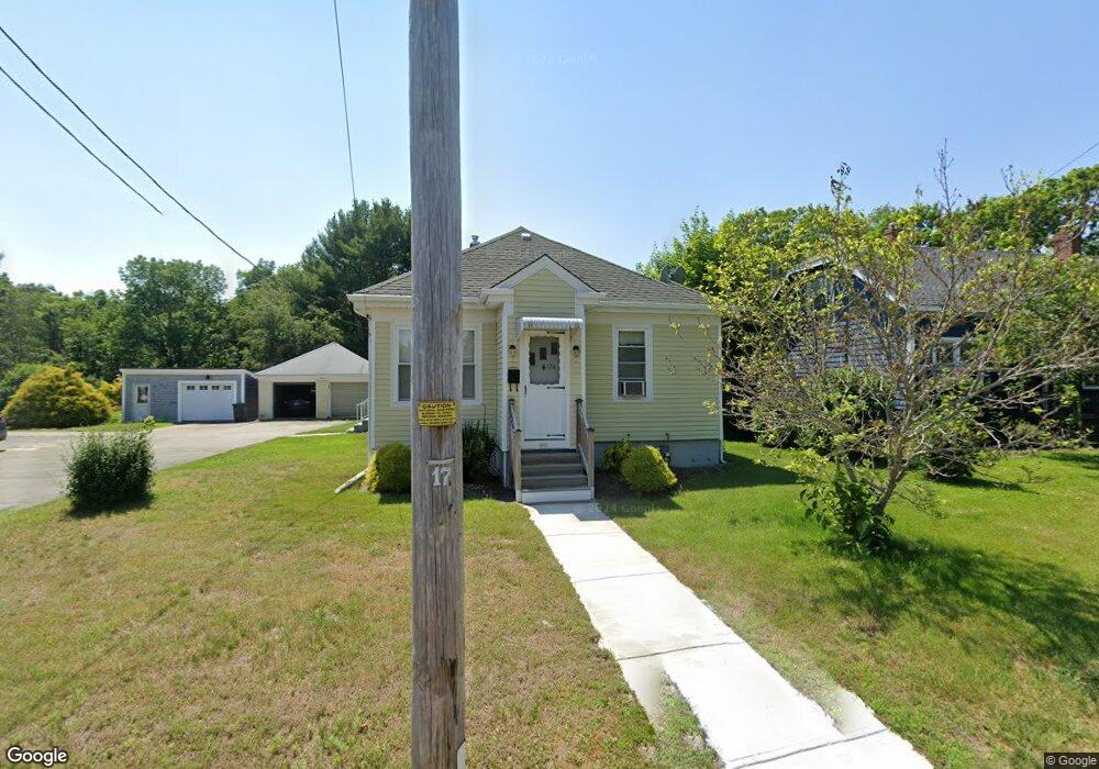
174 Hortonville Rd Swansea, MA 02777
West Swansea NeighborhoodEstimated Value: $389,000 - $478,000
3
Beds
1
Bath
1,044
Sq Ft
$408/Sq Ft
Est. Value
About This Home
This home is located at 174 Hortonville Rd, Swansea, MA 02777 and is currently estimated at $426,268, approximately $408 per square foot. 174 Hortonville Rd is a home located in Bristol County with nearby schools including Joseph Case High School, Swansea Wood School, and SCEC Life Academy.
Ownership History
Date
Name
Owned For
Owner Type
Purchase Details
Closed on
May 6, 2016
Sold by
Bigos Frank P and Bigos Barbara M
Bought by
Bigos Frank P
Current Estimated Value
Purchase Details
Closed on
May 30, 1972
Bought by
Bigos Frank P and Bigos Barbara M
Create a Home Valuation Report for This Property
The Home Valuation Report is an in-depth analysis detailing your home's value as well as a comparison with similar homes in the area
Home Values in the Area
Average Home Value in this Area
Purchase History
| Date | Buyer | Sale Price | Title Company |
|---|---|---|---|
| Bigos Frank P | -- | -- | |
| Bigos Frank P | -- | -- |
Source: Public Records
Mortgage History
| Date | Status | Borrower | Loan Amount |
|---|---|---|---|
| Previous Owner | Bigos Frank P | $10,000 | |
| Previous Owner | Bigos Frank P | $25,000 |
Source: Public Records
Tax History Compared to Growth
Tax History
| Year | Tax Paid | Tax Assessment Tax Assessment Total Assessment is a certain percentage of the fair market value that is determined by local assessors to be the total taxable value of land and additions on the property. | Land | Improvement |
|---|---|---|---|---|
| 2025 | $4,029 | $338,000 | $163,000 | $175,000 |
| 2024 | $4,017 | $335,000 | $163,000 | $172,000 |
| 2023 | $4,167 | $317,400 | $119,200 | $198,200 |
| 2022 | $4,127 | $286,800 | $108,300 | $178,500 |
| 2021 | $3,895 | $249,200 | $108,300 | $140,900 |
| 2020 | $3,470 | $222,700 | $108,300 | $114,400 |
| 2019 | $3,277 | $211,300 | $96,900 | $114,400 |
| 2018 | $3,137 | $205,300 | $94,700 | $110,600 |
| 2017 | $2,726 | $205,300 | $94,700 | $110,600 |
| 2016 | $2,684 | $198,500 | $88,100 | $110,400 |
| 2015 | $2,463 | $187,600 | $88,100 | $99,500 |
| 2014 | $2,427 | $189,000 | $88,100 | $100,900 |
Source: Public Records
Map
Nearby Homes
- 264 Hortonville Rd
- 141 Milford Rd
- 0 Hortonville Rd Unit 73242268
- 0 Proprietors Way Unit 73324662
- 420 Hortonville Rd
- 147 Elm St
- 37 3rd St
- 24 Front St
- 95 Evergreen Ave
- 0A Cummings Rd
- 0B Cummings Rd
- 265 Stevens Rd
- 510 Sharps Lot Rd
- 131 Maple Ave
- 105 Birchwood Dr
- 41 James Ave
- 20 Pearse Rd
- 67 Jette St
- 73 Jette St
- 18 Stafford St
- 178 Hortonville Rd
- 178 Hortonville Rd
- 162 Hortonville Rd
- 183 Hortonville Rd
- 163 Hortonville Rd
- 195 Hortonville Rd
- 194 Hortonville Rd
- 8 Arrowhead Ct
- 140 Hortonville Rd
- 205 Hortonville Rd
- 143 Hortonville Rd
- 133 Hortonville Rd
- 124 Hortonville Rd
- 43 Arrowhead Ct
- 209 Hortonville Rd
- 116 Hortonville Rd
- 216 Hortonville Rd
- 1 Daniel Ln
- 117 Hortonville Rd
- 108 Hortonville Rd