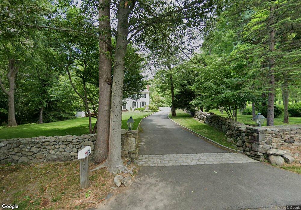
174 Hubbell Ln Fairfield, CT 06824
Greenfield Hill NeighborhoodEstimated Value: $2,612,911 - $4,107,000
4
Beds
6
Baths
5,004
Sq Ft
$631/Sq Ft
Est. Value
About This Home
This home is located at 174 Hubbell Ln, Fairfield, CT 06824 and is currently estimated at $3,157,228, approximately $630 per square foot. 174 Hubbell Ln is a home located in Fairfield County with nearby schools including Dwight Elementary School, Roger Ludlowe Middle School, and Fairfield Ludlowe High School.
Ownership History
Date
Name
Owned For
Owner Type
Purchase Details
Closed on
Jun 29, 1998
Sold by
Guido Laurence J and Guido Jane S
Bought by
Cole Roger E and Cole Patricia A
Current Estimated Value
Create a Home Valuation Report for This Property
The Home Valuation Report is an in-depth analysis detailing your home's value as well as a comparison with similar homes in the area
Home Values in the Area
Average Home Value in this Area
Purchase History
| Date | Buyer | Sale Price | Title Company |
|---|---|---|---|
| Cole Roger E | $1,225,000 | -- | |
| Cole Roger E | $1,225,000 | -- |
Source: Public Records
Mortgage History
| Date | Status | Borrower | Loan Amount |
|---|---|---|---|
| Open | Cole Roger E | $657,400 | |
| Closed | Cole Roger E | $708,750 |
Source: Public Records
Tax History Compared to Growth
Tax History
| Year | Tax Paid | Tax Assessment Tax Assessment Total Assessment is a certain percentage of the fair market value that is determined by local assessors to be the total taxable value of land and additions on the property. | Land | Improvement |
|---|---|---|---|---|
| 2025 | $29,839 | $1,051,050 | $417,270 | $633,780 |
| 2024 | $29,324 | $1,051,050 | $417,270 | $633,780 |
| 2023 | $28,914 | $1,051,050 | $417,270 | $633,780 |
| 2022 | $28,631 | $1,051,050 | $417,270 | $633,780 |
| 2021 | $28,357 | $1,051,050 | $417,270 | $633,780 |
| 2020 | $31,137 | $1,162,280 | $511,980 | $650,300 |
| 2019 | $31,137 | $1,162,280 | $511,980 | $650,300 |
| 2018 | $30,638 | $1,162,280 | $511,980 | $650,300 |
| 2017 | $30,010 | $1,162,280 | $511,980 | $650,300 |
| 2016 | $29,580 | $1,162,280 | $511,980 | $650,300 |
| 2015 | $30,005 | $1,210,370 | $574,140 | $636,230 |
| 2014 | $29,533 | $1,210,370 | $574,140 | $636,230 |
Source: Public Records
Map
Nearby Homes
- 2683 Bronson Rd
- 2959 Congress St
- 360 Duck Farm Rd
- 947 Galloping Hill Rd
- 338 Orchard Hill Ln
- 1207 Stillson Rd
- 845 Mountain Laurel Rd
- 688 Hulls Farm Rd
- 105 Charter Oak Rd
- 210 Pansy Rd
- 2281 Redding Rd
- 706 Judd St
- 1084 Sturges Hwy
- 115 Mayfair Rd
- 359 Reid St
- 42 Robin Cir
- 1 Boxwood Ln
- 22 Brett Rd
- 4800 Congress St
- 312 Towne House Rd
- 130 Hubbell Ln
- 130 Hubbell Ln
- 566 Greenfield Hill Rd
- 165 Hubbell Ln
- 80 Hubbell Ln
- 620 Greenfield Hill Rd
- 1060 Hillside Rd
- 1 Hubbell Ln
- 485 Greenfield Hill Rd
- 1170 Hillside Rd
- 501 Mine Hill Rd
- 615 Mine Hill Rd
- 958 Hillside Rd
- 420 Greenfield Hill Rd
- 1081 Hillside Rd
- 1001 Hillside Rd
- 1177 Hillside Rd
- 575 Mine Hill Rd
- 188 Verna Hill Rd
- 1199 Hillside Rd