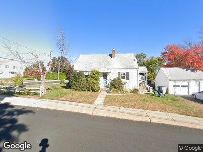
174 Judson Ave Bristol, CT 06010
South Bristol NeighborhoodEstimated Value: $235,000 - $254,000
2
Beds
2
Baths
936
Sq Ft
$263/Sq Ft
Est. Value
About This Home
This home is located at 174 Judson Ave, Bristol, CT 06010 and is currently estimated at $246,630, approximately $263 per square foot. 174 Judson Ave is a home located in Hartford County with nearby schools including Chippens Hill Middle School, Bristol Central High School, and Immanuel Lutheran School.
Ownership History
Date
Name
Owned For
Owner Type
Purchase Details
Closed on
Aug 20, 2009
Sold by
Nigro Andrew
Bought by
Koistinen Jayne
Current Estimated Value
Purchase Details
Closed on
May 15, 2009
Sold by
Therriault Valentina J
Bought by
Nigro Andrew and Nigro Aniello D
Purchase Details
Closed on
Sep 21, 1993
Sold by
Therriault Estelle
Bought by
Therriault Richard G
Home Financials for this Owner
Home Financials are based on the most recent Mortgage that was taken out on this home.
Original Mortgage
$125,000
Interest Rate
7.16%
Create a Home Valuation Report for This Property
The Home Valuation Report is an in-depth analysis detailing your home's value as well as a comparison with similar homes in the area
Home Values in the Area
Average Home Value in this Area
Purchase History
| Date | Buyer | Sale Price | Title Company |
|---|---|---|---|
| Koistinen Jayne | -- | -- | |
| Nigro Andrew | $120,000 | -- | |
| Therriault Richard G | $125,000 | -- |
Source: Public Records
Mortgage History
| Date | Status | Borrower | Loan Amount |
|---|---|---|---|
| Previous Owner | Therriault Richard G | $125,000 |
Source: Public Records
Tax History Compared to Growth
Tax History
| Year | Tax Paid | Tax Assessment Tax Assessment Total Assessment is a certain percentage of the fair market value that is determined by local assessors to be the total taxable value of land and additions on the property. | Land | Improvement |
|---|---|---|---|---|
| 2024 | $4,138 | $129,920 | $32,900 | $97,020 |
| 2023 | $3,943 | $129,920 | $32,900 | $97,020 |
| 2022 | $3,463 | $90,300 | $24,920 | $65,380 |
| 2021 | $3,463 | $90,300 | $24,920 | $65,380 |
| 2020 | $3,463 | $90,300 | $24,920 | $65,380 |
| 2019 | $3,436 | $90,300 | $24,920 | $65,380 |
| 2018 | $3,330 | $90,300 | $24,920 | $65,380 |
| 2017 | $3,266 | $90,650 | $35,630 | $55,020 |
| 2016 | $3,266 | $90,650 | $35,630 | $55,020 |
| 2015 | $3,137 | $90,650 | $35,630 | $55,020 |
| 2014 | $3,137 | $90,650 | $35,630 | $55,020 |
Source: Public Records
Map
Nearby Homes
- 130 Judson Ave
- 70 Leslie Ct
- 30 Earl St
- 30 Tuttle Rd
- 257 Peck Ln
- 97 Gridley St
- 24 Colony St
- 49 S Street Extension
- 34 Peck Ln
- 489 Wolcott St Unit 98
- 489 Wolcott St Unit 117
- 489 Wolcott St Unit 83
- 489 Wolcott St Unit 61
- 26 S Street Extension
- 181 Sherbrook St Unit 2
- 211 Park St
- 215 Park St
- 36 Rockwell Ave
- 305 Park St
- 40 Orchard St
- 174 Judson Ave
- 129 Crown St
- 130 Melrose St
- 132 Melrose St
- 134 Crown St
- 121 Crown St
- 126 Crown St
- 167 Judson Ave
- 149 Crown St
- 164 Judson Ave
- 164 Judson Ave Unit 3
- 124 Melrose St
- 124 Melrose St Unit 7
- 124 Melrose St Unit 9
- 124 Melrose St Unit 124
- 162 Judson Ave
- 162 Judson Ave Unit 2
- 162 Judson Ave Unit 162
- 142 Crown St
- 160 Judson Ave