174 Maple Ave Keyser, WV 26726
Estimated Value: $104,000 - $137,675
3
Beds
2
Baths
1,476
Sq Ft
$83/Sq Ft
Est. Value
About This Home
This home is located at 174 Maple Ave, Keyser, WV 26726 and is currently estimated at $122,669, approximately $83 per square foot. 174 Maple Ave is a home located in Mineral County.
Ownership History
Date
Name
Owned For
Owner Type
Purchase Details
Closed on
Jun 15, 2022
Sold by
Kelley Sharon D
Bought by
Kelley Sharon D and Close Ronald K
Current Estimated Value
Purchase Details
Closed on
Jul 31, 2007
Sold by
Hansen Seth R
Bought by
Kelley Sharon D
Home Financials for this Owner
Home Financials are based on the most recent Mortgage that was taken out on this home.
Original Mortgage
$70,000
Interest Rate
6.71%
Purchase Details
Closed on
Nov 1, 2005
Sold by
Altobello Joseph P and Altobello Jerome E
Bought by
Hansen Seth R
Home Financials for this Owner
Home Financials are based on the most recent Mortgage that was taken out on this home.
Original Mortgage
$52,250
Interest Rate
6.07%
Create a Home Valuation Report for This Property
The Home Valuation Report is an in-depth analysis detailing your home's value as well as a comparison with similar homes in the area
Home Values in the Area
Average Home Value in this Area
Purchase History
| Date | Buyer | Sale Price | Title Company |
|---|---|---|---|
| Kelley Sharon D | -- | None Listed On Document | |
| Kelley Sharon D | $103,000 | -- | |
| Hansen Seth R | $55,000 | -- |
Source: Public Records
Mortgage History
| Date | Status | Borrower | Loan Amount |
|---|---|---|---|
| Previous Owner | Kelley Sharon D | $70,000 | |
| Previous Owner | Hansen Seth R | $52,250 |
Source: Public Records
Tax History
| Year | Tax Paid | Tax Assessment Tax Assessment Total Assessment is a certain percentage of the fair market value that is determined by local assessors to be the total taxable value of land and additions on the property. | Land | Improvement |
|---|---|---|---|---|
| 2025 | $603 | $58,440 | $3,360 | $55,080 |
| 2024 | $603 | $56,340 | $3,360 | $52,980 |
| 2023 | $570 | $54,600 | $3,360 | $51,240 |
| 2022 | $543 | $54,600 | $3,360 | $51,240 |
| 2021 | $504 | $52,140 | $3,360 | $48,780 |
| 2020 | $474 | $50,220 | $3,360 | $46,860 |
| 2019 | $474 | $50,220 | $3,360 | $46,860 |
| 2018 | $788 | $50,220 | $3,360 | $46,860 |
| 2017 | $788 | $50,220 | $3,360 | $46,860 |
| 2016 | $788 | $50,220 | $3,360 | $46,860 |
| 2015 | $788 | $50,220 | $3,360 | $46,860 |
| 2014 | $788 | $50,220 | $3,360 | $46,860 |
Source: Public Records
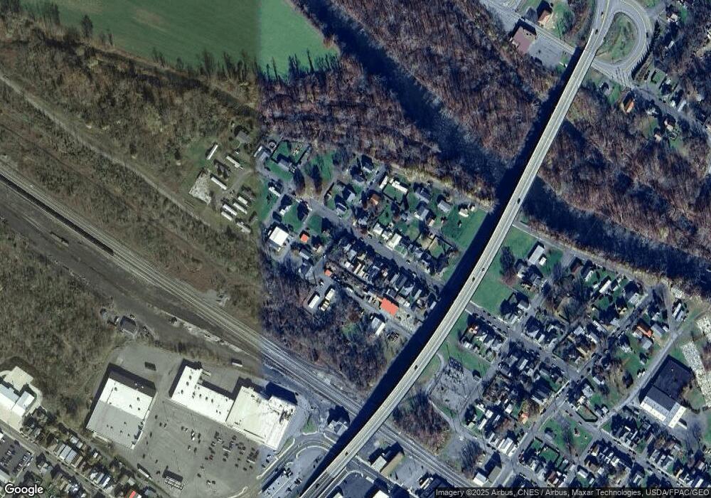
Map
Nearby Homes
- 71 - 75 Allegheny St
- 99 Lee St
- 21416 Chesapeake Ave SW
- 168 N Main St
- 117 W Piedmont St
- 70 E Piedmont St
- 149 & 151 E Piedmont St
- 47 D St
- 114 D St
- 24706 Mcmullen Hwy SW
- 0 Temple Dr Unit WVMI2004034
- 323 Richmond St
- 0 Waxler Rd Unit WVMI2002066
- 574 S Water St
- 1345 Lynmar St
- 1525 Beacon St
- 0 Beverly Ave Unit MDAL2013310
- 34 Morning View Dr
- 11198 Knobley Rd
- 138 Redwood Ln
Your Personal Tour Guide
Ask me questions while you tour the home.