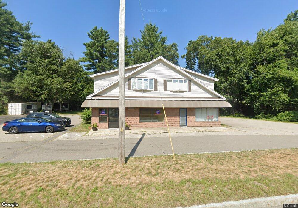
174 Plaistow Rd Unit A Plaistow, NH 03865
Estimated Value: $573,705
--
Bed
--
Bath
4,800
Sq Ft
$120/Sq Ft
Est. Value
About This Home
This home is located at 174 Plaistow Rd Unit A, Plaistow, NH 03865 and is currently estimated at $573,705, approximately $119 per square foot. 174 Plaistow Rd Unit A is a home located in Rockingham County with nearby schools including Pollard Elementary School, Timberlane Regional Middle School, and Timberlane Regional High School.
Ownership History
Date
Name
Owned For
Owner Type
Purchase Details
Closed on
May 18, 2021
Sold by
Larrys Clam Bar Inc
Bought by
3 Hamilton North Llc
Current Estimated Value
Home Financials for this Owner
Home Financials are based on the most recent Mortgage that was taken out on this home.
Original Mortgage
$315,750
Outstanding Balance
$286,148
Interest Rate
3.1%
Mortgage Type
Commercial
Estimated Equity
$287,557
Purchase Details
Closed on
Nov 18, 1981
Bought by
Larrys Clam Bar Inc
Create a Home Valuation Report for This Property
The Home Valuation Report is an in-depth analysis detailing your home's value as well as a comparison with similar homes in the area
Home Values in the Area
Average Home Value in this Area
Purchase History
| Date | Buyer | Sale Price | Title Company |
|---|---|---|---|
| 3 Hamilton North Llc | $421,000 | None Available | |
| Larrys Clam Bar Inc | -- | -- |
Source: Public Records
Mortgage History
| Date | Status | Borrower | Loan Amount |
|---|---|---|---|
| Open | 3 Hamilton North Llc | $315,750 |
Source: Public Records
Tax History Compared to Growth
Tax History
| Year | Tax Paid | Tax Assessment Tax Assessment Total Assessment is a certain percentage of the fair market value that is determined by local assessors to be the total taxable value of land and additions on the property. | Land | Improvement |
|---|---|---|---|---|
| 2024 | $12,227 | $590,100 | $307,400 | $282,700 |
| 2023 | $12,883 | $576,700 | $307,400 | $269,300 |
| 2022 | $13,083 | $688,200 | $307,400 | $380,800 |
| 2021 | $13,164 | $694,300 | $307,400 | $386,900 |
| 2020 | $13,386 | $618,310 | $277,310 | $341,000 |
| 2019 | $13,176 | $618,310 | $277,310 | $341,000 |
| 2018 | $14,895 | $605,740 | $274,740 | $331,000 |
| 2017 | $14,514 | $605,740 | $274,740 | $331,000 |
| 2016 | $13,494 | $599,740 | $274,740 | $325,000 |
| 2015 | $13,545 | $560,650 | $251,850 | $308,800 |
| 2014 | $13,928 | $554,250 | $251,850 | $302,400 |
| 2011 | $13,184 | $533,550 | $251,850 | $281,700 |
Source: Public Records
Map
Nearby Homes
- 5 Shady Ln
- 3 Shady Ln
- 4 Shady Ln
- 6 Auburn St Unit 1
- 60 Old County Rd
- 7 Middle Rd Unit B
- 182 Main St
- 5 Kimball Ave
- Lot 1 Luke's Way
- 267 Main St
- 15 Kingston Rd
- 3 Bent Grass Cir Unit 34
- 25 Cottonwood Rd
- 34 Bel's Way
- 3 Elm St
- 1 Elm St
- 6 Smith Corner Rd
- 12 Davis Park
- 10 Sweet Hill Rd
- 48 Westville Rd Unit 2