174 Randolph Hill Rd Randolph, NH 03593
Estimated Value: $446,000 - $570,000
2
Beds
1
Bath
1,456
Sq Ft
$356/Sq Ft
Est. Value
About This Home
This home is located at 174 Randolph Hill Rd, Randolph, NH 03593 and is currently estimated at $518,988, approximately $356 per square foot. 174 Randolph Hill Rd is a home located in Coos County with nearby schools including Edward Fenn Elementary School and Gorham High School.
Ownership History
Date
Name
Owned For
Owner Type
Purchase Details
Closed on
Oct 3, 2018
Sold by
Tremblay John A and Tremblay Kathleen M
Bought by
Reid Nathaniel and Reid Suzanne
Current Estimated Value
Home Financials for this Owner
Home Financials are based on the most recent Mortgage that was taken out on this home.
Original Mortgage
$252,000
Outstanding Balance
$188,919
Interest Rate
4.5%
Mortgage Type
Purchase Money Mortgage
Estimated Equity
$330,069
Create a Home Valuation Report for This Property
The Home Valuation Report is an in-depth analysis detailing your home's value as well as a comparison with similar homes in the area
Home Values in the Area
Average Home Value in this Area
Purchase History
| Date | Buyer | Sale Price | Title Company |
|---|---|---|---|
| Reid Nathaniel | $280,000 | -- |
Source: Public Records
Mortgage History
| Date | Status | Borrower | Loan Amount |
|---|---|---|---|
| Open | Reid Nathaniel | $252,000 |
Source: Public Records
Tax History Compared to Growth
Tax History
| Year | Tax Paid | Tax Assessment Tax Assessment Total Assessment is a certain percentage of the fair market value that is determined by local assessors to be the total taxable value of land and additions on the property. | Land | Improvement |
|---|---|---|---|---|
| 2024 | $4,896 | $439,500 | $161,000 | $278,500 |
| 2023 | $4,750 | $243,100 | $58,900 | $184,200 |
| 2022 | $4,113 | $243,100 | $58,900 | $184,200 |
| 2021 | $4,149 | $268,400 | $83,900 | $184,500 |
| 2020 | $4,053 | $268,400 | $83,900 | $184,500 |
| 2019 | $3,614 | $244,200 | $83,900 | $160,300 |
| 2018 | $2,790 | $192,300 | $66,500 | $125,800 |
| 2017 | $2,819 | $192,300 | $66,500 | $125,800 |
| 2016 | $2,871 | $192,300 | $66,500 | $125,800 |
| 2015 | $2,815 | $192,300 | $66,500 | $125,800 |
| 2014 | $2,783 | $192,300 | $66,500 | $125,800 |
| 2012 | $2,595 | $162,400 | $54,800 | $107,600 |
Source: Public Records
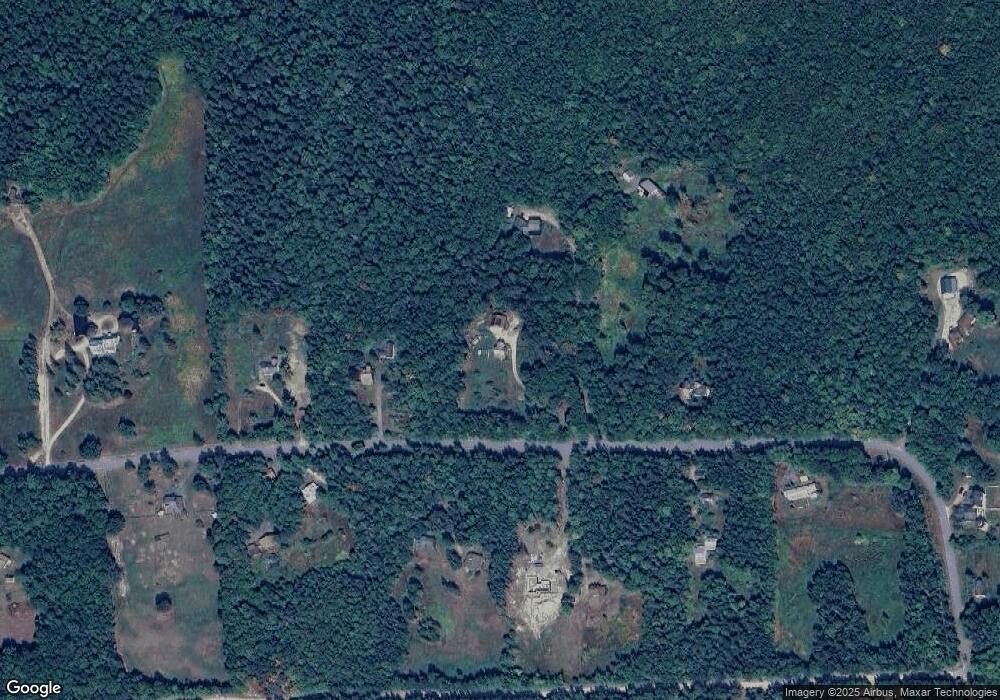
Map
Nearby Homes
- 00 Us Rte 2
- 00 U S Highway 2
- 280 Gorham Hill Rd
- 141 Lancaster Rd Unit 28
- 141 Lancaster Rd Unit 14
- 141 Lancaster Rd
- 141 Lancaster Rd Unit TRLR 1
- 1174 Us Route 2
- 23 Pine St
- 11 Dublin St
- 240 Main St
- 0 No Address Crossing Unit 5015901
- 0 Riverside Dr
- 23 Union St
- 500 Main St Unit TRLR 4
- 6 Church St
- 21 Promenade St
- 1502 US Route 2
- 101 Main St Unit A
- 22 Clay Brook Rd
- 194 Randolph Hill Rd
- 397 Randolph Hill Rd
- 405 Randolph Hill Rd
- 232 Randolph Hill Rd
- 394 Randolph Hill Rd
- 204 Randolph Hill Rd
- 385 Randolph Hill Rd
- 170 Randolph Hill Rd
- 407 Randolph Hill Rd
- 260 Randolph Hill Rd
- 406 Randolph Hill Rd
- 162 Randolph Hill Rd
- 375 Randolph Hill Rd
- 401 Randolph Hill Rd Unit 403
- 56 High Acres Rd
- 278 Randolph Hill Rd
- 408 Randolph Hill Rd
- 172 Randolph Hill Rd
- 72 High Acres Rd
- 371 Randolph Hill Rd