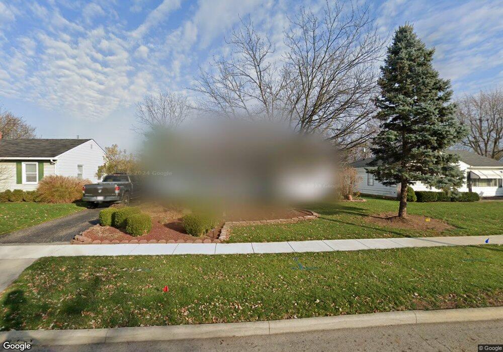
174 Sturbridge Rd Columbus, OH 43228
Estimated Value: $236,405 - $254,000
3
Beds
2
Baths
1,288
Sq Ft
$190/Sq Ft
Est. Value
About This Home
This home is located at 174 Sturbridge Rd, Columbus, OH 43228 and is currently estimated at $244,601, approximately $189 per square foot. 174 Sturbridge Rd is a home located in Franklin County with nearby schools including Prairie Lincoln Elementary School, Galloway Ridge Intermediate School, and Norton Middle School.
Ownership History
Date
Name
Owned For
Owner Type
Purchase Details
Closed on
Dec 29, 2006
Sold by
Shrum Jack A and Shrum Sharon L
Bought by
Baker Christina M and Nightingale Troy M
Current Estimated Value
Home Financials for this Owner
Home Financials are based on the most recent Mortgage that was taken out on this home.
Original Mortgage
$128,000
Outstanding Balance
$75,052
Interest Rate
6.24%
Mortgage Type
Purchase Money Mortgage
Estimated Equity
$169,549
Purchase Details
Closed on
Jul 16, 2002
Sold by
Stimson Richard D and Stimson Susan W
Bought by
Shrum Jack A and Shrum Sharon L
Home Financials for this Owner
Home Financials are based on the most recent Mortgage that was taken out on this home.
Original Mortgage
$70,000
Interest Rate
4.37%
Mortgage Type
Purchase Money Mortgage
Purchase Details
Closed on
Dec 8, 1976
Bought by
Stimson Richard D
Create a Home Valuation Report for This Property
The Home Valuation Report is an in-depth analysis detailing your home's value as well as a comparison with similar homes in the area
Home Values in the Area
Average Home Value in this Area
Purchase History
| Date | Buyer | Sale Price | Title Company |
|---|---|---|---|
| Baker Christina M | $128,000 | Title First | |
| Shrum Jack A | $120,000 | Chicago Title | |
| Stimson Richard D | -- | -- |
Source: Public Records
Mortgage History
| Date | Status | Borrower | Loan Amount |
|---|---|---|---|
| Open | Baker Christina M | $128,000 | |
| Closed | Shrum Jack A | $70,000 |
Source: Public Records
Tax History
| Year | Tax Paid | Tax Assessment Tax Assessment Total Assessment is a certain percentage of the fair market value that is determined by local assessors to be the total taxable value of land and additions on the property. | Land | Improvement |
|---|---|---|---|---|
| 2025 | $3,461 | $71,480 | $17,890 | $53,590 |
| 2024 | $3,461 | $71,480 | $17,890 | $53,590 |
| 2023 | $3,322 | $71,470 | $17,885 | $53,585 |
| 2022 | $2,717 | $40,320 | $4,060 | $36,260 |
| 2021 | $2,756 | $40,320 | $4,060 | $36,260 |
| 2020 | $2,734 | $40,320 | $4,060 | $36,260 |
| 2019 | $2,667 | $34,270 | $3,360 | $30,910 |
| 2018 | $2,525 | $34,270 | $3,360 | $30,910 |
| 2017 | $2,322 | $34,270 | $3,360 | $30,910 |
| 2016 | $2,391 | $32,240 | $6,510 | $25,730 |
| 2015 | $2,391 | $32,240 | $6,510 | $25,730 |
| 2014 | $2,357 | $32,240 | $6,510 | $25,730 |
| 2013 | $1,385 | $37,940 | $7,665 | $30,275 |
Source: Public Records
Map
Nearby Homes
- 185 Sturbridge Rd
- 199 N Murray Hill Rd
- 396 Pasadena Ave
- 381 Pasadena Ave
- 89 Postle Blvd
- 110 Inah Ave
- 305 Danhurst Rd
- 4899 Hamden Way
- 443 Lawrence Ave
- 97 Tarryton Ct W Unit 19-H
- 87 Tarryton Ct W Unit 18D
- 69 Lawrence Ave
- 463 Darbyhurst Rd
- 4723 Tarryton Ct S Unit 14-E
- 102 Redmond Rd
- 417 Revere Ct
- 5409 Longworth Dr
- 399 Carilla Ln
- 218 Darbyhurst Rd
- 4682 Arnold Ave
- 182 Sturbridge Rd
- 190 Sturbridge Rd
- 156 Sturbridge Rd
- 183 Topsfield Rd
- 173 Topsfield Rd
- 189 Topsfield Rd
- 165 Topsfield Rd
- 200 Sturbridge Rd
- 148 Sturbridge Rd
- 169 Sturbridge Rd
- 177 Sturbridge Rd
- 199 Topsfield Rd
- 161 Sturbridge Rd
- 161 Topsfield Rd
- 155 Sturbridge Rd
- 208 Sturbridge Rd
- 195 Sturbridge Rd
- 140 Sturbridge Rd
- 205 Topsfield Rd
- 155 Topsfield Rd
Your Personal Tour Guide
Ask me questions while you tour the home.