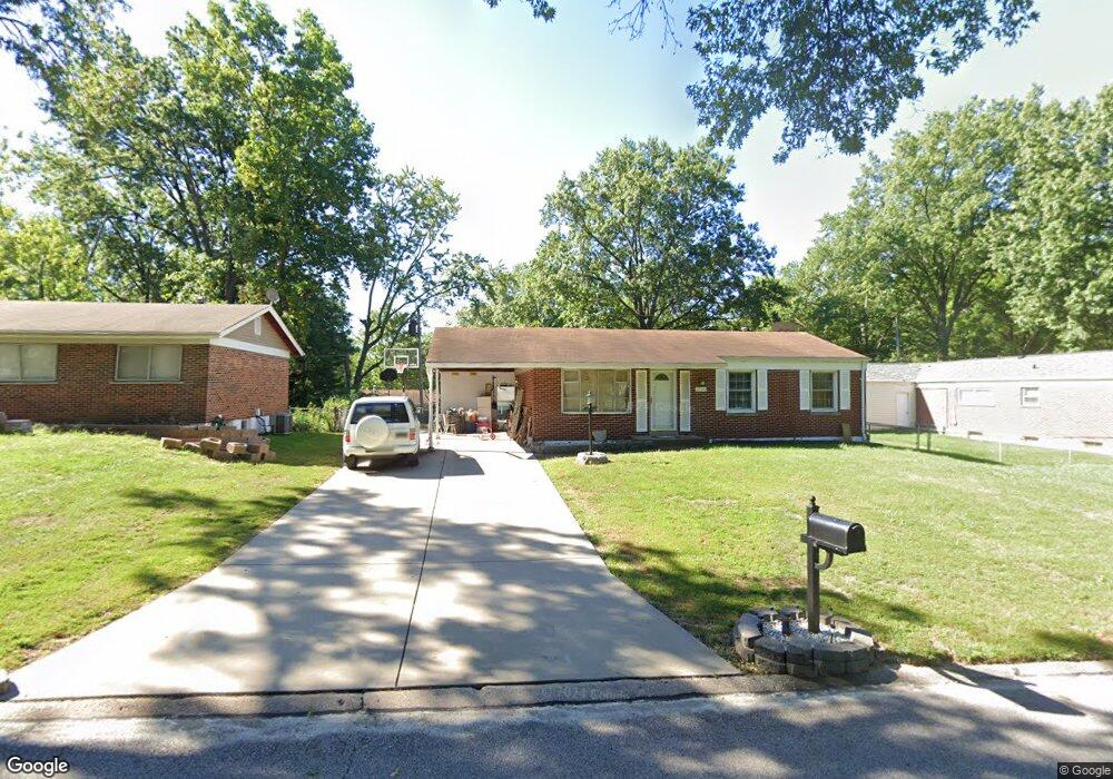
1740 Elkins Dr Saint Louis, MO 63136
Estimated Value: $117,352 - $149,000
3
Beds
1
Bath
950
Sq Ft
$140/Sq Ft
Est. Value
About This Home
This home is located at 1740 Elkins Dr, Saint Louis, MO 63136 and is currently estimated at $132,588, approximately $139 per square foot. 1740 Elkins Dr is a home located in St. Louis County with nearby schools including Keeven Elementary School, Hazelwood East High School, and Storman-Lyons Leadership Academy.
Ownership History
Date
Name
Owned For
Owner Type
Purchase Details
Closed on
Jul 6, 2001
Sold by
Mccormack Barbara L
Bought by
Bah Mohamed B
Current Estimated Value
Home Financials for this Owner
Home Financials are based on the most recent Mortgage that was taken out on this home.
Original Mortgage
$74,908
Outstanding Balance
$28,721
Interest Rate
7.07%
Mortgage Type
FHA
Estimated Equity
$103,867
Purchase Details
Closed on
May 23, 2000
Sold by
Mccormack Glen L
Bought by
Mccormack Barbara L
Create a Home Valuation Report for This Property
The Home Valuation Report is an in-depth analysis detailing your home's value as well as a comparison with similar homes in the area
Home Values in the Area
Average Home Value in this Area
Purchase History
| Date | Buyer | Sale Price | Title Company |
|---|---|---|---|
| Bah Mohamed B | $75,500 | -- | |
| Mccormack Barbara L | -- | -- |
Source: Public Records
Mortgage History
| Date | Status | Borrower | Loan Amount |
|---|---|---|---|
| Open | Bah Mohamed B | $74,908 | |
| Closed | Bah Mohamed B | $13,600 |
Source: Public Records
Tax History Compared to Growth
Tax History
| Year | Tax Paid | Tax Assessment Tax Assessment Total Assessment is a certain percentage of the fair market value that is determined by local assessors to be the total taxable value of land and additions on the property. | Land | Improvement |
|---|---|---|---|---|
| 2025 | $1,980 | $20,080 | $3,950 | $16,130 |
| 2024 | $1,980 | $18,200 | $2,770 | $15,430 |
| 2023 | $2,097 | $18,200 | $2,770 | $15,430 |
| 2022 | $1,535 | $11,850 | $3,150 | $8,700 |
| 2021 | $1,514 | $11,850 | $3,150 | $8,700 |
| 2020 | $1,385 | $10,170 | $2,000 | $8,170 |
| 2019 | $1,369 | $10,170 | $2,000 | $8,170 |
| 2018 | $1,444 | $10,070 | $870 | $9,200 |
| 2017 | $1,430 | $10,070 | $870 | $9,200 |
| 2016 | $1,387 | $9,970 | $1,630 | $8,340 |
| 2015 | $1,217 | $9,970 | $1,630 | $8,340 |
| 2014 | $1,225 | $10,000 | $2,550 | $7,450 |
Source: Public Records
Map
Nearby Homes
- 10701 Alliance Dr
- 1749 Foley Dr
- 10633 Trask Dr
- 10619 Alliance Dr
- 1729 Keelen Dr
- 1715 Beecher Dr
- 1614 Keelen Dr
- 1705 Cargill Dr
- 1715 Hudson Rd
- 10412 Saint Ives Dr
- 1515 Beecher Dr
- 2018 Elkins Dr
- 1918 Hudson Rd
- 10417 Tanner Dr
- 2131 Old Manor Rd
- 10540 Williamsfield Dr
- 10288 Dacey Dr
- 1735 Emery Dr
- 10232 Tanner Dr
- 11256 Liberty Landing Dr