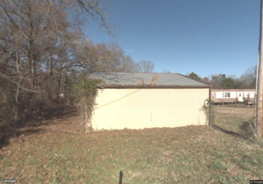
1740 Raper Rd Benton, AR 72015
Estimated Value: $105,294 - $209,000
Studio
--
Bath
980
Sq Ft
$160/Sq Ft
Est. Value
About This Home
This home is located at 1740 Raper Rd, Benton, AR 72015 and is currently estimated at $157,147, approximately $160 per square foot. 1740 Raper Rd is a home with nearby schools including Glen Rose Elementary School, Glen Rose Middle School, and Glen Rose High School.
Ownership History
Date
Name
Owned For
Owner Type
Purchase Details
Closed on
Jan 9, 2017
Sold by
Dempsey Dawn
Bought by
Dempsey Matt and Dempsey Debbie
Current Estimated Value
Purchase Details
Closed on
Apr 11, 2013
Sold by
Dempsey Dawn and Dempsey Garry
Bought by
Dempsey Matt and Dempsey Debbie
Purchase Details
Closed on
Jul 24, 2006
Sold by
Raper Shirley and Raper Luther
Bought by
Dempsey Dawn and Dempsey Gary
Purchase Details
Closed on
Jan 4, 1996
Bought by
Raper
Create a Home Valuation Report for This Property
The Home Valuation Report is an in-depth analysis detailing your home's value as well as a comparison with similar homes in the area
Home Values in the Area
Average Home Value in this Area
Purchase History
| Date | Buyer | Sale Price | Title Company |
|---|---|---|---|
| Dempsey Matt | -- | None Available | |
| Dempsey Matt | -- | None Available | |
| Dempsey Dawn | -- | -- | |
| Dempsey Dawn | -- | -- | |
| Raper Shirley | -- | -- | |
| Raper | $13,000 | -- |
Source: Public Records
Mortgage History
| Date | Status | Borrower | Loan Amount |
|---|---|---|---|
| Closed | Dempsey Dawn | $0 |
Source: Public Records
Tax History
| Year | Tax Paid | Tax Assessment Tax Assessment Total Assessment is a certain percentage of the fair market value that is determined by local assessors to be the total taxable value of land and additions on the property. | Land | Improvement |
|---|---|---|---|---|
| 2025 | $138 | $3,338 | $2,400 | $938 |
| 2024 | $138 | $3,338 | $2,400 | $938 |
| 2023 | $222 | $3,338 | $2,400 | $938 |
| 2022 | $212 | $3,338 | $2,400 | $938 |
| 2021 | $201 | $2,220 | $1,200 | $1,020 |
| 2020 | $156 | $2,220 | $1,200 | $1,020 |
| 2019 | $156 | $2,220 | $1,200 | $1,020 |
| 2018 | $156 | $2,220 | $1,200 | $1,020 |
| 2017 | $156 | $2,220 | $1,200 | $1,020 |
| 2016 | $109 | $2,280 | $1,200 | $1,080 |
| 2015 | $109 | $2,280 | $1,200 | $1,080 |
| 2014 | $159 | $2,280 | $1,200 | $1,080 |
Source: Public Records
Map
Nearby Homes
- 0000 Deer Creek Rd
- 0 Oklahoma Inn Rd Unit 24728946
- 0 Oklahoma Inn Rd Unit 24728947
- 5017 Rolling Meadow Loop
- 4133 Brody Crossing
- 815 Graham Rd
- 4001 Rolling Meadow Ln
- 810 Troutman Rd
- 112 Kee Cove
- 000 Desi Ln
- 109 Riveria Cove
- 306 Meadow Creek Dr
- 5060 N Highway 229
- 105 Kapalua Cove
- 7801 Holy Ridge Cutoff
- 350 Meadow Creek Dr
- Oklahoma Inn Rd
- 370 Meadow Creek Dr
- 107 Sawgrass Dr
- 8617 Pawnee Dr
- 1803 Raper Rd
- 1804 Raper Rd
- 1675 Raper Rd
- 1816 Raper Rd
- 1741 Raper Rd
- 1708 Raper Rd
- 1503 Raper Rd
- 2002 Raper Rd
- 1453 Raper Rd
- 1706 Raper Rd
- 1604 Raper Rd
- 1600 Raper Rd
- 2004 Raper Rd
- 1441 Raper Rd
- 1820 Dwight Brown Rd
- 1444 Raper-Haskell Rd
- 1522 Dwight Brown Rd
- 1801 Dwight Brown Rd
- 1901 Dwight Brown Rd
- 1411 Dwight Brown Rd
Your Personal Tour Guide
Ask me questions while you tour the home.