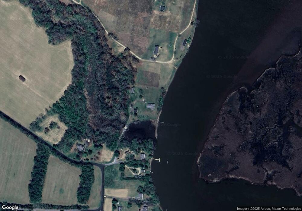
17406 Nottingham Rd Upper Marlboro, MD 20772
Croom NeighborhoodEstimated Value: $335,519 - $498,000
--
Bed
1
Bath
749
Sq Ft
$538/Sq Ft
Est. Value
About This Home
This home is located at 17406 Nottingham Rd, Upper Marlboro, MD 20772 and is currently estimated at $402,630, approximately $537 per square foot. 17406 Nottingham Rd is a home located in Prince George's County with nearby schools including Baden Elementary School, Gwynn Park Middle School, and Gwynn Park High School.
Ownership History
Date
Name
Owned For
Owner Type
Purchase Details
Closed on
Nov 16, 2022
Sold by
Oconnell Timothy J
Bought by
Oconnell Timothy J
Current Estimated Value
Home Financials for this Owner
Home Financials are based on the most recent Mortgage that was taken out on this home.
Original Mortgage
$50,000
Outstanding Balance
$47,680
Interest Rate
7.08%
Mortgage Type
Credit Line Revolving
Estimated Equity
$354,950
Purchase Details
Closed on
Nov 8, 2017
Sold by
Boswell Beverly A
Bought by
Bosell Beverly A
Purchase Details
Closed on
Nov 19, 2007
Sold by
Boswell Elsworth B
Bought by
Boswell Beverly A
Purchase Details
Closed on
Oct 24, 2007
Sold by
Boswell Elsworth B
Bought by
Boswell Beverly A
Create a Home Valuation Report for This Property
The Home Valuation Report is an in-depth analysis detailing your home's value as well as a comparison with similar homes in the area
Home Values in the Area
Average Home Value in this Area
Purchase History
| Date | Buyer | Sale Price | Title Company |
|---|---|---|---|
| Oconnell Timothy J | -- | -- | |
| Bosell Beverly A | -- | None Available | |
| Boswell Beverly A | -- | -- | |
| Boswell Beverly A | -- | -- |
Source: Public Records
Mortgage History
| Date | Status | Borrower | Loan Amount |
|---|---|---|---|
| Open | Oconnell Timothy J | $50,000 |
Source: Public Records
Tax History Compared to Growth
Tax History
| Year | Tax Paid | Tax Assessment Tax Assessment Total Assessment is a certain percentage of the fair market value that is determined by local assessors to be the total taxable value of land and additions on the property. | Land | Improvement |
|---|---|---|---|---|
| 2025 | $2,565 | $228,100 | $99,900 | $128,200 |
| 2024 | $2,565 | $208,767 | $0 | $0 |
| 2023 | $2,460 | $189,433 | $0 | $0 |
| 2022 | $1,892 | $170,100 | $94,200 | $75,900 |
| 2021 | $4,570 | $166,433 | $0 | $0 |
| 2020 | $4,431 | $162,767 | $0 | $0 |
| 2019 | $2,278 | $159,100 | $94,200 | $64,900 |
| 2018 | $2,092 | $153,433 | $0 | $0 |
| 2017 | $2,040 | $147,767 | $0 | $0 |
| 2016 | -- | $142,100 | $0 | $0 |
| 2015 | $2,080 | $142,100 | $0 | $0 |
| 2014 | $2,080 | $142,100 | $0 | $0 |
Source: Public Records
Map
Nearby Homes
- 16501 Nottingham Rd
- Parcel 36 Tanyard Rd
- 4060 Loving Dr
- 4045 Loving Dr
- 9788 Howes Rd
- 10612 Taney Ct
- 3345 Ferry Landing Rd
- 00000 Candy Hill Rd
- 13710 Baden Naylor Rd
- 3040 Jones Rd
- 15551 Brooks Church Rd
- 11612 Rivershore Dr
- 15226 Croom Rd
- 16301 Saint Thomas Church Rd
- 0 Croom Rd
- 13245 Croom Rd
- 3130 Ashwood Dr
- 9665 Tara Dr
- 2614 Apple Way
- 3408 Lyons Creek Rd
- 17406 Nottingham Rd
- 17410 Nottingham Rd
- 17412 Nottingham Rd
- 17306 Nottingham Rd
- 17414 Nottingham Rd
- 17302 Nottingham Rd
- 17416 Nottingham Rd
- 17402 Nottingham Rd
- 17500 Watershed Dr
- 17404 Watershed Dr
- 17318 Nottingham Rd
- 17501 Watershed Dr
- 17309 Tanyard Rd
- 17309 Tanyard Rd
- 17305 Tanyard Rd
- 17415 Watershed Dr
- 17415 Watershed Dr
- 17312 Nottingham Rd
- 17304 Nottingham Rd
- 17301 Tanyard Rd
