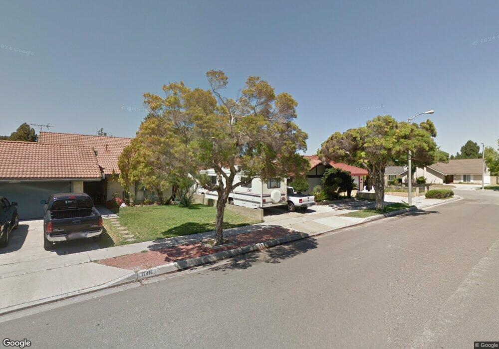
17409 Leal Ave Cerritos, CA 90703
Estimated Value: $940,292 - $1,139,000
3
Beds
2
Baths
1,230
Sq Ft
$859/Sq Ft
Est. Value
About This Home
This home is located at 17409 Leal Ave, Cerritos, CA 90703 and is currently estimated at $1,057,073, approximately $859 per square foot. 17409 Leal Ave is a home located in Los Angeles County with nearby schools including Cecil B. Stowers Elementary School, Carmenita Middle School, and Cerritos High School.
Ownership History
Date
Name
Owned For
Owner Type
Purchase Details
Closed on
Oct 24, 2017
Sold by
Vaughn Katherine Howe Loverd
Bought by
Vaughn Roy D
Current Estimated Value
Home Financials for this Owner
Home Financials are based on the most recent Mortgage that was taken out on this home.
Original Mortgage
$350,000
Interest Rate
3.78%
Mortgage Type
New Conventional
Purchase Details
Closed on
Dec 3, 2015
Sold by
Vaughn Roy D
Bought by
Vaughn Roy D and The Yoshita 2015 Family Trust
Create a Home Valuation Report for This Property
The Home Valuation Report is an in-depth analysis detailing your home's value as well as a comparison with similar homes in the area
Home Values in the Area
Average Home Value in this Area
Purchase History
| Date | Buyer | Sale Price | Title Company |
|---|---|---|---|
| Vaughn Roy D | -- | Fidelity National Title Co | |
| Vaughn Roy D | -- | None Available |
Source: Public Records
Mortgage History
| Date | Status | Borrower | Loan Amount |
|---|---|---|---|
| Closed | Vaughn Roy D | $350,000 |
Source: Public Records
Tax History
| Year | Tax Paid | Tax Assessment Tax Assessment Total Assessment is a certain percentage of the fair market value that is determined by local assessors to be the total taxable value of land and additions on the property. | Land | Improvement |
|---|---|---|---|---|
| 2025 | $1,406 | $81,696 | $24,728 | $56,968 |
| 2024 | $1,406 | $80,095 | $24,244 | $55,851 |
| 2023 | $1,370 | $78,525 | $23,769 | $54,756 |
| 2022 | $1,348 | $76,986 | $23,303 | $53,683 |
| 2021 | $1,316 | $75,478 | $22,847 | $52,631 |
| 2019 | $8,217 | $686,460 | $411,060 | $275,400 |
| 2018 | $1,068 | $71,806 | $21,736 | $50,070 |
| 2016 | $1,008 | $69,020 | $20,893 | $48,127 |
| 2015 | $995 | $67,985 | $20,580 | $47,405 |
| 2014 | $986 | $66,654 | $20,177 | $46,477 |
Source: Public Records
Map
Nearby Homes
- 13048 Acoro St
- 13010 Artesia Blvd
- 17112 Maurice Ave
- 16602 Yvette Way
- 16604 Cobblestone Ct
- 12524 Bryce Cir
- 18622 Kamstra Ave
- 13626 Aclare Ln
- 17400 Laurelbrook Ct
- 12525 Semora St
- 16918 Chaparral Ave Unit 27
- 16902 Chaparral Ave
- 18727 Holmes Ave
- 16818 Chaparral Ave
- 16630 Shenandoah Ave
- 17405 Jasmine Way
- 12410 Rancho Vista Dr
- 16735 Cedarwood Cir
- 13447 Village Dr Unit 1/2
- 13451 1/4 Village Dr
- 17415 Leal Ave
- 17403 Leal Ave
- 13058 Carolyn St
- 17419 Leal Ave
- 13055 Acoro St
- 13054 Carolyn St
- 13118 Carolyn St
- 13119 Acoro Place
- 17425 Leal Ave
- 13058 Acoro St
- 13103 Carolyn St
- 13109 Carolyn St
- 13124 Carolyn St
- 13125 Acoro Place
- 13059 Carolyn St
- 17503 Leal Ave
- 13115 Carolyn St
- 13055 Carolyn St
- 13054 Acoro St
- 13117 Carolyn St
Your Personal Tour Guide
Ask me questions while you tour the home.