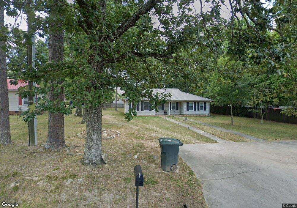
1741 First St Asheboro, NC 27205
Estimated Value: $155,482 - $226,000
--
Bed
1
Bath
1,222
Sq Ft
$153/Sq Ft
Est. Value
About This Home
This home is located at 1741 First St, Asheboro, NC 27205 and is currently estimated at $186,371, approximately $152 per square foot. 1741 First St is a home located in Randolph County with nearby schools including Guy B. Teachey Elementary School, South Asheboro Middle School, and Asheboro High School.
Ownership History
Date
Name
Owned For
Owner Type
Purchase Details
Closed on
Mar 17, 2020
Sold by
Vaz Luis R
Bought by
Adair Elizabeth and Adair Elizabeth
Current Estimated Value
Purchase Details
Closed on
Apr 26, 2010
Sold by
Fannie Mae
Bought by
Adair Elizabeth
Home Financials for this Owner
Home Financials are based on the most recent Mortgage that was taken out on this home.
Original Mortgage
$60,750
Interest Rate
3.75%
Mortgage Type
New Conventional
Purchase Details
Closed on
Feb 15, 2010
Sold by
Prevatte Glenn D and Prevatte Misti S
Bought by
Federal National Mortgage Association
Purchase Details
Closed on
Nov 14, 1997
Bought by
Adair Elizabeth
Create a Home Valuation Report for This Property
The Home Valuation Report is an in-depth analysis detailing your home's value as well as a comparison with similar homes in the area
Home Values in the Area
Average Home Value in this Area
Purchase History
| Date | Buyer | Sale Price | Title Company |
|---|---|---|---|
| Adair Elizabeth | -- | None Available | |
| Adair Elizabeth | -- | Chicago Title Insurance Co | |
| Federal National Mortgage Association | $71,788 | None Available | |
| Adair Elizabeth | $74,500 | -- |
Source: Public Records
Mortgage History
| Date | Status | Borrower | Loan Amount |
|---|---|---|---|
| Previous Owner | Adair Elizabeth | $60,750 |
Source: Public Records
Tax History Compared to Growth
Tax History
| Year | Tax Paid | Tax Assessment Tax Assessment Total Assessment is a certain percentage of the fair market value that is determined by local assessors to be the total taxable value of land and additions on the property. | Land | Improvement |
|---|---|---|---|---|
| 2025 | $1,532 | $115,610 | $23,000 | $92,610 |
| 2024 | $1,532 | $115,610 | $23,000 | $92,610 |
| 2023 | $1,532 | $115,610 | $23,000 | $92,610 |
| 2022 | $1,076 | $74,650 | $12,800 | $61,850 |
| 2021 | $1,076 | $74,650 | $12,800 | $61,850 |
| 2020 | $1,081 | $74,650 | $12,800 | $61,850 |
| 2019 | $1,081 | $74,650 | $12,800 | $61,850 |
| 2018 | $982 | $66,660 | $13,260 | $53,400 |
| 2016 | $982 | $66,664 | $13,260 | $53,404 |
| 2015 | $983 | $66,664 | $13,260 | $53,404 |
| 2014 | $960 | $66,664 | $13,260 | $53,404 |
Source: Public Records
Map
Nearby Homes
- 1427 S Fayetteville St
- 424 Northampton Dr
- 228 Anchor Dr
- 724 Sherwood Rd
- 287 Eldorado Rd
- 0 Sykes Farm Rd
- 604 Hemlock Dr
- 261 Charles Ave
- 643 Cypress Dr
- 1922 Oak Dr
- 640 Hemlock Dr
- 350 Stowe Ave Unit 101
- 431 Newbern Ave
- 922 S Cox St
- 960 Lee St
- 353 Auman Ave
- 1002 Cliff Rd
- 0 U S Highway 64
- 209 Armfield Ave
- 211 Armfield Ave