1741 Highway 7 Newell, IA 50568
Estimated Value: $133,000 - $249,315
4
Beds
2
Baths
1,584
Sq Ft
$119/Sq Ft
Est. Value
About This Home
This home is located at 1741 Highway 7, Newell, IA 50568 and is currently estimated at $189,079, approximately $119 per square foot. 1741 Highway 7 is a home located in Buena Vista County with nearby schools including Newell-Fonda Elementary School, Newell-Fonda Middle School, and Newell-Fonda High School.
Ownership History
Date
Name
Owned For
Owner Type
Purchase Details
Closed on
Oct 18, 2017
Sold by
Snyder Nicholas M and Snyder Angela J
Bought by
Dahlhauser Jaylin A and Dahlhauser Anne L
Current Estimated Value
Home Financials for this Owner
Home Financials are based on the most recent Mortgage that was taken out on this home.
Original Mortgage
$48,000
Outstanding Balance
$39,235
Interest Rate
3.83%
Mortgage Type
Purchase Money Mortgage
Estimated Equity
$149,844
Purchase Details
Closed on
Aug 23, 2017
Sold by
Schade Glenda K
Bought by
Snyder Nicholas M and Snyder Angela J
Home Financials for this Owner
Home Financials are based on the most recent Mortgage that was taken out on this home.
Original Mortgage
$48,000
Outstanding Balance
$39,235
Interest Rate
3.83%
Mortgage Type
Purchase Money Mortgage
Estimated Equity
$149,844
Create a Home Valuation Report for This Property
The Home Valuation Report is an in-depth analysis detailing your home's value as well as a comparison with similar homes in the area
Home Values in the Area
Average Home Value in this Area
Purchase History
| Date | Buyer | Sale Price | Title Company |
|---|---|---|---|
| Dahlhauser Jaylin A | $59,500 | -- | |
| Snyder Nicholas M | $79,500 | -- |
Source: Public Records
Mortgage History
| Date | Status | Borrower | Loan Amount |
|---|---|---|---|
| Open | Dahlhauser Jaylin A | $48,000 | |
| Previous Owner | Snyder Nicholas M | $79,000 |
Source: Public Records
Tax History Compared to Growth
Tax History
| Year | Tax Paid | Tax Assessment Tax Assessment Total Assessment is a certain percentage of the fair market value that is determined by local assessors to be the total taxable value of land and additions on the property. | Land | Improvement |
|---|---|---|---|---|
| 2024 | $2,120 | $160,310 | $36,400 | $123,910 |
| 2023 | $1,996 | $160,310 | $36,400 | $123,910 |
| 2022 | $1,836 | $132,770 | $36,400 | $96,370 |
| 2021 | $1,836 | $132,770 | $36,400 | $96,370 |
| 2020 | $1,742 | $120,700 | $28,000 | $92,700 |
| 2019 | $1,238 | $120,700 | $28,000 | $92,700 |
| 2018 | $1,114 | $87,000 | $29,120 | $57,880 |
| 2017 | $1,078 | $87,000 | $29,120 | $57,880 |
| 2016 | $1,060 | $83,470 | $29,120 | $54,350 |
| 2015 | $1,060 | $80,260 | $0 | $0 |
| 2012 | -- | $80,260 | $28,000 | $52,260 |
Source: Public Records
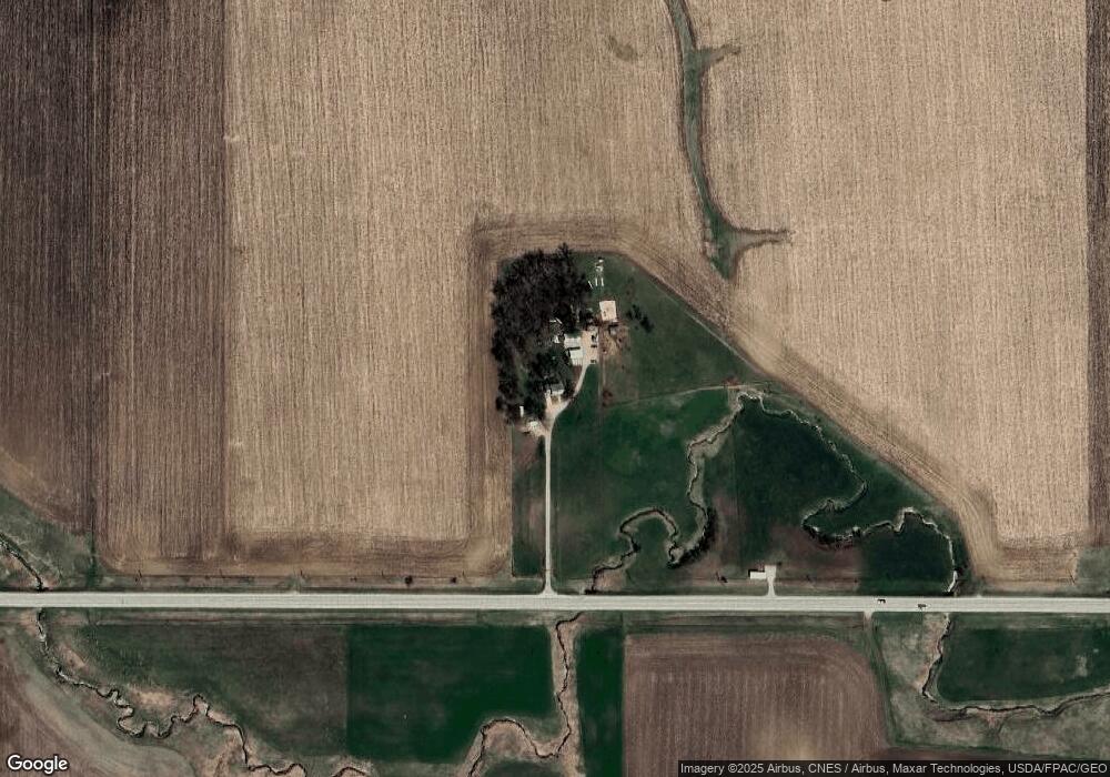
Map
Nearby Homes
- 136 Cedar St
- 410 W 4th St
- 310 S Howard St
- 6057 210th Ave
- 110 Park St
- 108 Park St
- 104 Main St
- 616 Lakeshore Dr
- 201 Sunrise Park Rd Unit 104
- 201 Sunrise Park Rd Unit 308
- 201 Sunrise Park Rd Unit 101
- 201 Sunrise Park Rd Unit 202
- 201 Sunrise Park Rd Unit 312
- 201 Sunrise Park Rd Unit 116
- 201 Sunrise Park Rd Unit 211
- 2070 Rolf Ave
- 1745 555th St
- 114 Mallard Ave
- 1711 Tulip Ln
- 121 Mallard Ave
- 1791 Highway 7
- 1741 Highway 7
- 1964 Highway 7
- 1976 Highway 7
- 1947 625th St
- 6365 190th Ave
- 1981 625th St
- 6261 200th Ave
- 6224 190th Ave
- 6259 200th Ave
- 109 N Armstrong Rd
- 402 S Nelson St
- 6332 200th Ave
- 6253 200th Ave
- 306 S Nelson St
- 310 S Nelson St
- 386 W 3rd St
- 383 W 3rd St
- 502 S Nelson St
- 406 S Nelson St