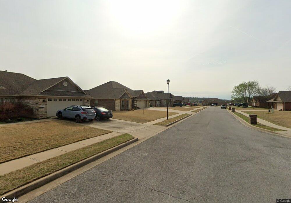
1741 Major Stone Cir Prairie Grove, AR 72753
Estimated Value: $331,000 - $460,000
4
Beds
2
Baths
2,190
Sq Ft
$171/Sq Ft
Est. Value
About This Home
This home is located at 1741 Major Stone Cir, Prairie Grove, AR 72753 and is currently estimated at $374,692, approximately $171 per square foot. 1741 Major Stone Cir is a home located in Washington County with nearby schools including Prairie Grove Elementary School, Prairie Grove Middle School, and Prairie Grove Junior High School.
Ownership History
Date
Name
Owned For
Owner Type
Purchase Details
Closed on
Feb 9, 2009
Sold by
Federal Deposit Insurance Corporation
Bought by
Sharp John P and Sharp Leslie L
Current Estimated Value
Home Financials for this Owner
Home Financials are based on the most recent Mortgage that was taken out on this home.
Original Mortgage
$133,980
Outstanding Balance
$83,458
Interest Rate
4.91%
Mortgage Type
FHA
Estimated Equity
$291,234
Purchase Details
Closed on
Nov 7, 2007
Sold by
D & T Developments Llc
Bought by
Anb Financial Na
Purchase Details
Closed on
Feb 13, 2006
Sold by
Sundowner Ranch Llc
Bought by
D & T Developments Llc
Home Financials for this Owner
Home Financials are based on the most recent Mortgage that was taken out on this home.
Original Mortgage
$165,600
Interest Rate
6.15%
Mortgage Type
Purchase Money Mortgage
Create a Home Valuation Report for This Property
The Home Valuation Report is an in-depth analysis detailing your home's value as well as a comparison with similar homes in the area
Home Values in the Area
Average Home Value in this Area
Purchase History
| Date | Buyer | Sale Price | Title Company |
|---|---|---|---|
| Sharp John P | -- | None Available | |
| Anb Financial Na | -- | None Available | |
| D & T Developments Llc | $40,000 | Lenders Title Company |
Source: Public Records
Mortgage History
| Date | Status | Borrower | Loan Amount |
|---|---|---|---|
| Open | Sharp John P | $133,980 | |
| Previous Owner | D & T Developments Llc | $165,600 |
Source: Public Records
Tax History Compared to Growth
Tax History
| Year | Tax Paid | Tax Assessment Tax Assessment Total Assessment is a certain percentage of the fair market value that is determined by local assessors to be the total taxable value of land and additions on the property. | Land | Improvement |
|---|---|---|---|---|
| 2025 | $2,672 | $63,490 | $8,000 | $55,490 |
| 2024 | $2,505 | $63,490 | $8,000 | $55,490 |
| 2023 | $2,384 | $63,490 | $8,000 | $55,490 |
| 2022 | $2,168 | $40,140 | $6,000 | $34,140 |
| 2021 | $2,168 | $40,140 | $6,000 | $34,140 |
| 2020 | $2,028 | $40,140 | $6,000 | $34,140 |
| 2019 | $1,864 | $34,260 | $5,000 | $29,260 |
| 2018 | $1,864 | $34,260 | $5,000 | $29,260 |
| 2017 | $1,847 | $34,260 | $5,000 | $29,260 |
| 2016 | $1,847 | $34,260 | $5,000 | $29,260 |
| 2015 | $1,847 | $34,260 | $5,000 | $29,260 |
| 2014 | $1,931 | $35,830 | $5,000 | $30,830 |
Source: Public Records
Map
Nearby Homes
- 1681 Cavalry Ln
- 1421 Colonel McNeil Dr
- 1380 Colonel Hawthorne Dr
- 1360 Colonel Bass Ln
- 1461 General Parson Dr
- 1280 General Parson Dr
- 1321 General Marmaduke Dr
- 611 Sundowner Ranch Ave
- 650 Marcella St
- 631 Marcella St
- 16543 U S Highway 62
- 511 Captain Stockton St
- 816 Spurgeon Ln
- 101 S Eagle Mountain St
- 661 Kendra St
- 150 N Eagle Mountain St
- 951 E Buchanan St
- 12292 Butler Rd
- 123 S Eagle Mountain St
- 113 S Eagle Mountain St
- 1731 Major Stone Cir
- 1751 Major Stone Cir
- 1761 Major Stone Cir
- 1691 Colonel Bartow Dr
- 1690 Colonel Bartow Dr
- 1690 Cavalry Ln
- 1711 Major Stone Cir
- 1681 Colonel Bartow Dr
- 1691 Major Stone Cir
- 1680 Colonel Bartow Dr
- 1771 Major Stone Cir
- 1680 Cavalry Ln
- 1671 Colonel Bartow Dr
- 1670 Colonel Bartow Dr
- 1681 Major Stone Cir
- 1670 Cavalry Ln
- 1690 Major Stone Cir
- 1671 Major Stone Cir
- 1661 Colonel Bartow Dr
- 1660 Colonel Bartow Dr