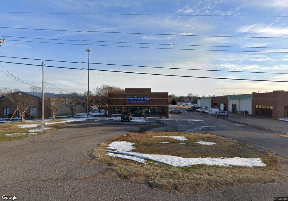
1741 Nail Rd W Horn Lake, MS 38637
Estimated Value: $291,160
--
Bed
--
Bath
7,500
Sq Ft
$39/Sq Ft
Est. Value
About This Home
This home is located at 1741 Nail Rd W, Horn Lake, MS 38637 and is currently priced at $291,160, approximately $38 per square foot. 1741 Nail Rd W is a home located in DeSoto County with nearby schools including Horn Lake Elementary School, Horn Lake Intermediate School, and Horn Lake Middle School.
Ownership History
Date
Name
Owned For
Owner Type
Purchase Details
Closed on
Jan 12, 2012
Sold by
Regions Bank
Bought by
Reed Charles A
Current Estimated Value
Home Financials for this Owner
Home Financials are based on the most recent Mortgage that was taken out on this home.
Original Mortgage
$130,000
Interest Rate
4%
Mortgage Type
Unknown
Purchase Details
Closed on
Apr 27, 2011
Sold by
Hall Gary and Hall Lynette
Bought by
Regions Bank
Create a Home Valuation Report for This Property
The Home Valuation Report is an in-depth analysis detailing your home's value as well as a comparison with similar homes in the area
Home Values in the Area
Average Home Value in this Area
Purchase History
| Date | Buyer | Sale Price | Title Company |
|---|---|---|---|
| Reed Charles A | -- | Tri State Title & Escrow Inc | |
| Regions Bank | $288,727 | None Available |
Source: Public Records
Mortgage History
| Date | Status | Borrower | Loan Amount |
|---|---|---|---|
| Closed | Reed Charles A | $130,000 |
Source: Public Records
Tax History Compared to Growth
Tax History
| Year | Tax Paid | Tax Assessment Tax Assessment Total Assessment is a certain percentage of the fair market value that is determined by local assessors to be the total taxable value of land and additions on the property. | Land | Improvement |
|---|---|---|---|---|
| 2024 | $7,779 | $52,517 | $19,281 | $33,236 |
| 2023 | $7,779 | $52,517 | $0 | $0 |
| 2022 | $7,779 | $52,517 | $19,281 | $33,236 |
| 2021 | $7,779 | $52,517 | $19,281 | $33,236 |
| 2020 | $8,245 | $55,663 | $19,281 | $36,382 |
| 2019 | $8,245 | $55,663 | $19,281 | $36,382 |
| 2017 | $7,912 | $87,025 | $53,153 | $33,872 |
| 2016 | $6,512 | $44,917 | $19,281 | $25,636 |
| 2015 | $6,499 | $70,553 | $44,917 | $25,636 |
| 2014 | $6,512 | $44,917 | $0 | $0 |
| 2013 | $8,624 | $44,917 | $0 | $0 |
Source: Public Records
Map
Nearby Homes
- 1784 Thomas St
- 1664 Thomas St
- 1652 Thomas St
- 6275 U S Highway 51
- 1876 Greeno Dr
- 1939 Ingleside Cove
- 1926 Tissington Dr
- 1628 Joy Blvd
- 6433 Arbor Lake Dr W
- 5393 Peppermill Dr
- 5381 Peppermill Dr
- 2065 Tall Tree Dr
- 2095 Tall Tree Dr
- 2515 Bryce Cove
- 6600 Highway 51
- 5240 Park Place Dr
- 6265 Foxbriar Dr
- 2605 Valleybrook Rd
- 6670 Embassy Cir
- 2155 Church Rd
- 1881 Nail Rd Unit SUITE A
- 1881 Nail Rd Unit C
- 1881 Nail Rd Unit F
- 1881 Nail Rd Unit D
- 1881 Nail Rd Unit E
- 1881 Nail Rd Unit A
- 1881 Nail Rd
- 1881 Nail Rd Unit B
- 5905 Scott Blvd
- 5905 Scott Blvd Unit 3
- 5905 Scott Blvd Unit 5-6
- 5905 Scott Blvd Unit A
- 5905 Scott Blvd Unit 4
- 5905 Scott Blvd Unit 2
- 5905 Scott Blvd
- 5905 Scott Blvd Unit 1
- 1815 Nail Rd W
- 6 Scott St
- 5863 Scott Blvd
- 1760 Thomas St