1741 W 132nd St N Colfax, IA 50054
Estimated Value: $317,000 - $409,371
3
Beds
3
Baths
1,722
Sq Ft
$220/Sq Ft
Est. Value
About This Home
This home is located at 1741 W 132nd St N, Colfax, IA 50054 and is currently estimated at $379,343, approximately $220 per square foot. 1741 W 132nd St N is a home located in Jasper County with nearby schools including Colfax-Mingo Elementary School and Colfax-Mingo High School.
Ownership History
Date
Name
Owned For
Owner Type
Purchase Details
Closed on
Apr 9, 2014
Sold by
Secretary Of Hud
Bought by
Langreck Kevin
Current Estimated Value
Create a Home Valuation Report for This Property
The Home Valuation Report is an in-depth analysis detailing your home's value as well as a comparison with similar homes in the area
Home Values in the Area
Average Home Value in this Area
Purchase History
| Date | Buyer | Sale Price | Title Company |
|---|---|---|---|
| Langreck Kevin | -- | None Available |
Source: Public Records
Tax History Compared to Growth
Tax History
| Year | Tax Paid | Tax Assessment Tax Assessment Total Assessment is a certain percentage of the fair market value that is determined by local assessors to be the total taxable value of land and additions on the property. | Land | Improvement |
|---|---|---|---|---|
| 2025 | $4,430 | $391,940 | $70,100 | $321,840 |
| 2024 | $4,430 | $331,000 | $46,620 | $284,380 |
| 2023 | $4,292 | $331,000 | $46,620 | $284,380 |
| 2022 | $3,492 | $254,980 | $46,620 | $208,360 |
| 2021 | $3,288 | $235,170 | $46,620 | $188,550 |
| 2020 | $3,288 | $205,310 | $31,300 | $174,010 |
| 2019 | $3,044 | $176,710 | $0 | $0 |
| 2018 | $3,044 | $176,710 | $0 | $0 |
| 2017 | $3,054 | $176,710 | $0 | $0 |
| 2016 | $3,054 | $176,710 | $0 | $0 |
| 2015 | $3,048 | $176,710 | $0 | $0 |
| 2014 | $3,006 | $176,710 | $0 | $0 |
Source: Public Records
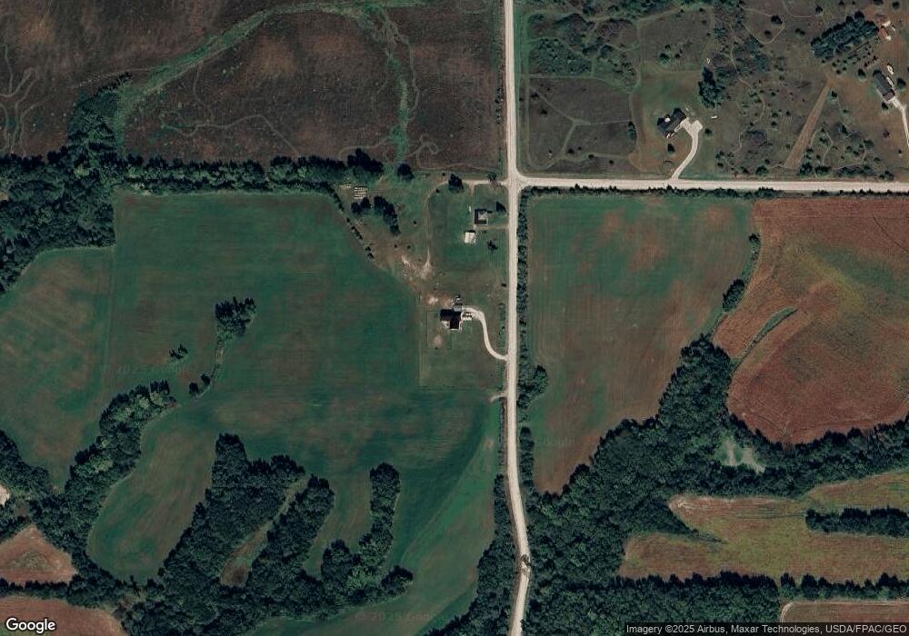
Map
Nearby Homes
- 00 W 120th St S
- 1096 W 124th St S
- 0 W 120th St S
- W 120th St S
- 5280 Fairview Ln
- 5460 Fairview Ln
- 5220 Fairview Ln
- 5397 Fairview Ln
- 5527 Fairview Ln
- 5517 Fairview Ln
- 5520 Fairview Ln
- 5457 Fariview Ln
- 5277 Fairview Ln
- 5160 Fairview Ln
- 5217 Fairview Ln
- 5157 Fairview Ln
- 5400 Fairview Ln
- 5530 Fairview Ln
- 5340 Fariview Ln
- 5337 Fairview Ln