17411 Donaldson Trail Faribault, MN 55021
Estimated Value: $382,000 - $520,000
2
Beds
3
Baths
1,344
Sq Ft
$349/Sq Ft
Est. Value
About This Home
This home is located at 17411 Donaldson Trail, Faribault, MN 55021 and is currently estimated at $468,824, approximately $348 per square foot. 17411 Donaldson Trail is a home located in Rice County with nearby schools including Roosevelt Elementary School, Faribault Middle School, and Faribault Senior High School.
Ownership History
Date
Name
Owned For
Owner Type
Purchase Details
Closed on
Oct 30, 2020
Sold by
Thibodeau Rise
Bought by
Slinger Jeannie and Slinger Mitchell W
Current Estimated Value
Home Financials for this Owner
Home Financials are based on the most recent Mortgage that was taken out on this home.
Original Mortgage
$348,300
Interest Rate
3.05%
Mortgage Type
New Conventional
Purchase Details
Closed on
Aug 1, 2006
Sold by
Beaupre Dean
Bought by
Thibodeau Thomas A and Thibodeau Rise
Create a Home Valuation Report for This Property
The Home Valuation Report is an in-depth analysis detailing your home's value as well as a comparison with similar homes in the area
Home Values in the Area
Average Home Value in this Area
Purchase History
| Date | Buyer | Sale Price | Title Company |
|---|---|---|---|
| Slinger Jeannie | $387,000 | None Available | |
| Thibodeau Thomas A | $100,000 | -- | |
| Slinger Jeannie Jeannie | $387,000 | -- |
Source: Public Records
Mortgage History
| Date | Status | Borrower | Loan Amount |
|---|---|---|---|
| Previous Owner | Slinger Jeannie | $348,300 | |
| Closed | Slinger Jeannie Jeannie | $348,300 |
Source: Public Records
Tax History Compared to Growth
Tax History
| Year | Tax Paid | Tax Assessment Tax Assessment Total Assessment is a certain percentage of the fair market value that is determined by local assessors to be the total taxable value of land and additions on the property. | Land | Improvement |
|---|---|---|---|---|
| 2025 | $3,114 | $413,500 | $105,000 | $308,500 |
| 2024 | $3,114 | $397,900 | $91,300 | $306,600 |
| 2023 | $3,016 | $397,900 | $91,300 | $306,600 |
| 2022 | $2,862 | $367,900 | $79,000 | $288,900 |
| 2021 | $2,800 | $345,300 | $70,600 | $274,700 |
| 2020 | $2,370 | $337,600 | $68,100 | $269,500 |
| 2019 | $2,242 | $296,700 | $68,100 | $228,600 |
| 2018 | $2,118 | $279,800 | $68,100 | $211,700 |
| 2017 | $2,278 | $260,600 | $68,100 | $192,500 |
| 2016 | $2,184 | $260,300 | $68,100 | $192,200 |
| 2015 | $2,014 | $243,800 | $68,100 | $175,700 |
| 2014 | -- | $234,800 | $68,100 | $166,700 |
Source: Public Records
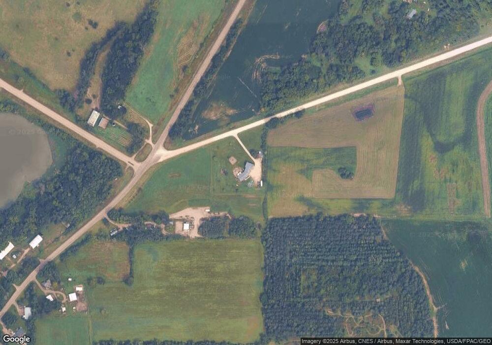
Map
Nearby Homes
- 0 Co Rd 25 197th St E Unit NOC6331370
- 2110 Goldenray Dr
- 2135 Violet Ln
- Parkdale Plan at The Meadows
- St. Croix Plan at The Meadows
- McKenna Plan at The Meadows
- Monroe Plan at The Meadows
- Mayberry Plan at The Meadows
- Marquette Plan at The Meadows
- Majestic Plan at The Meadows
- Macalaster Plan at The Meadows
- Linden Plan at The Meadows
- Hammond Plan at The Meadows
- Everleigh Plan at The Meadows
- Garrison Plan at The Meadows
- Enclave II Plan at The Meadows
- Eastbrook Plan at The Meadows
- Cottonwood II Plan at The Meadows
- Canton II Plan at The Meadows
- Bellefonte Plan at The Meadows
- 17481 Cannon City Blvd
- 17471 Cannon City Blvd
- 17386 Cannon City Blvd
- 17549 Cannon City Blvd
- 17250 Cannon City Blvd
- 17564 Cannon City Blvd
- 17564 Cannon City Blvd
- 4964 Nerstrand Blvd
- 17615 Cannon City Blvd
- 5024 Nerstrand Blvd
- 17610 Cannon City Blvd
- 17635 Cannon City Blvd
- 4760 Nerstrand Blvd
- 5116 Nerstrand Blvd
- 17074 Cannon City Blvd
- XXXX Donaldson Trail
- 4801 Nerstrand Blvd
- 5005 Nerstrand Blvd
- 17620 Cannon City Blvd
- 4779 Nerstrand Blvd