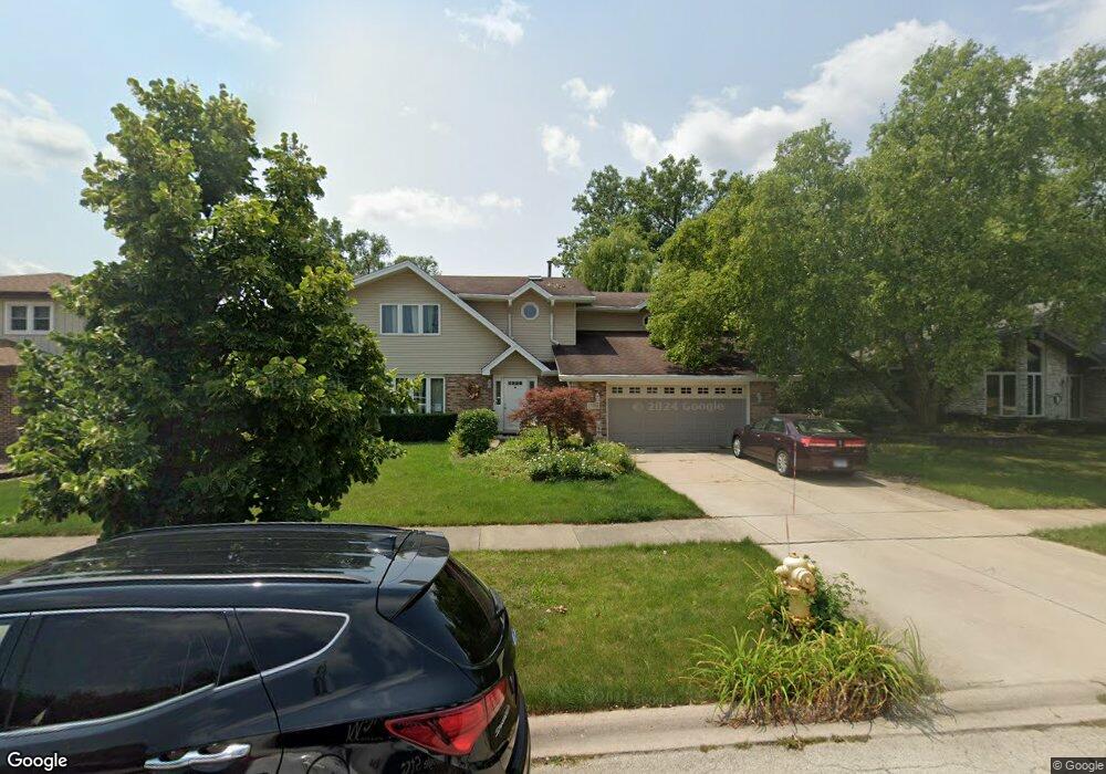
17414 Highwood Dr Unit 3 Orland Park, IL 60467
Grasslands NeighborhoodEstimated Value: $500,000 - $548,000
3
Beds
3
Baths
2,352
Sq Ft
$224/Sq Ft
Est. Value
About This Home
This home is located at 17414 Highwood Dr Unit 3, Orland Park, IL 60467 and is currently estimated at $527,096, approximately $224 per square foot. 17414 Highwood Dr Unit 3 is a home located in Cook County with nearby schools including Centennial School, Meadow Ridge School, and Century Junior High School.
Ownership History
Date
Name
Owned For
Owner Type
Purchase Details
Closed on
Apr 20, 2004
Sold by
Probasco Todd and Probasco Lisa M
Bought by
Cooney John P and Cooney Maureen
Current Estimated Value
Home Financials for this Owner
Home Financials are based on the most recent Mortgage that was taken out on this home.
Original Mortgage
$261,200
Outstanding Balance
$111,775
Interest Rate
4.37%
Mortgage Type
Unknown
Estimated Equity
$415,321
Purchase Details
Closed on
Dec 10, 1999
Sold by
Krolo Don E and Krolo Mary Jay
Bought by
Probasco Todd and Probasco Lisa
Home Financials for this Owner
Home Financials are based on the most recent Mortgage that was taken out on this home.
Original Mortgage
$279,717
Interest Rate
7.87%
Mortgage Type
Balloon
Create a Home Valuation Report for This Property
The Home Valuation Report is an in-depth analysis detailing your home's value as well as a comparison with similar homes in the area
Home Values in the Area
Average Home Value in this Area
Purchase History
| Date | Buyer | Sale Price | Title Company |
|---|---|---|---|
| Cooney John P | $326,500 | Ticor Title Insurance Compan | |
| Probasco Todd | $245,000 | -- |
Source: Public Records
Mortgage History
| Date | Status | Borrower | Loan Amount |
|---|---|---|---|
| Open | Cooney John P | $261,200 | |
| Previous Owner | Probasco Todd | $279,717 |
Source: Public Records
Tax History Compared to Growth
Tax History
| Year | Tax Paid | Tax Assessment Tax Assessment Total Assessment is a certain percentage of the fair market value that is determined by local assessors to be the total taxable value of land and additions on the property. | Land | Improvement |
|---|---|---|---|---|
| 2024 | $8,930 | $39,001 | $11,295 | $27,706 |
| 2023 | $8,434 | $39,001 | $11,295 | $27,706 |
| 2022 | $8,434 | $31,576 | $9,278 | $22,298 |
| 2021 | $8,171 | $31,574 | $9,277 | $22,297 |
| 2020 | $7,929 | $31,574 | $9,277 | $22,297 |
| 2019 | $7,952 | $32,401 | $8,470 | $23,931 |
| 2018 | $7,733 | $32,401 | $8,470 | $23,931 |
| 2017 | $7,573 | $32,401 | $8,470 | $23,931 |
| 2016 | $6,956 | $27,427 | $7,664 | $19,763 |
| 2015 | $6,855 | $27,427 | $7,664 | $19,763 |
| 2014 | $6,768 | $27,427 | $7,664 | $19,763 |
| 2013 | $7,600 | $32,281 | $7,664 | $24,617 |
Source: Public Records
Map
Nearby Homes
- 17389 Highwood Dr
- 17396 Brook Crossing Ln
- 11424 Lakebrook Ct Unit 281
- 11573 Brook Hill Dr
- 17292 Lakebrook Dr
- 17321 Lakebrook Dr
- 17259 Lakebrook Dr
- 11228 Cameron Pkwy
- 11854 Swilly Ct
- 17708 Pennsylvania Ct Unit 211
- 17950 Settlers Pond Way Unit 3B
- 17813 Westbrook Dr
- 10958 New Mexico Ct Unit 166
- 9601 W 179th St
- 18011 Breckenridge Blvd
- 12057 Longmeadow Ln
- 11101 W 179th St
- 11508 Lake Shore Dr
- 17816 New Hampshire Ct Unit 137
- 11914 Dunree Ln
- 17404 Highwood Dr
- 17426 Highwood Dr
- 17392 Highwood Dr
- 17436 Highwood Dr
- 17409 Highwood Dr Unit 3
- 17399 Highwood Dr
- 11522 Brookwood Dr
- 17421 Highwood Dr Unit 3
- 17448 Highwood Dr
- 17384 Highwood Dr
- 11516 Brookwood Dr
- 17431 Highwood Dr Unit 3
- 11534 Brookwood Dr Unit 4
- 17379 Highwood Dr
- 17374 Highwood Dr
- 17443 Highwood Dr
- 11510 Brookwood Dr
- 17460 Highwood Dr
- 17369 Highwood Dr
- 11540 Brookwood Dr