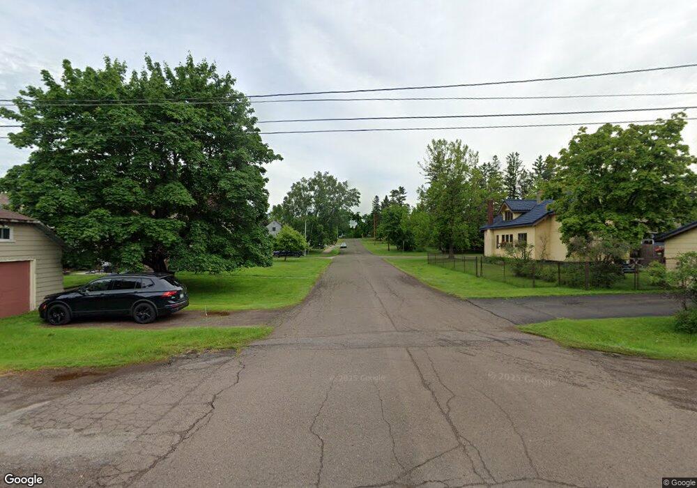
1742 Highway 2 Two Harbors, MN 55616
Estimated Value: $416,000 - $571,000
3
Beds
2
Baths
1,386
Sq Ft
$345/Sq Ft
Est. Value
About This Home
This home is located at 1742 Highway 2, Two Harbors, MN 55616 and is currently estimated at $478,794, approximately $345 per square foot. 1742 Highway 2 is a home located in Lake County with nearby schools including Minnehaha Elementary School, Two Harbors Secondary, and Northwoods Christian Academy.
Ownership History
Date
Name
Owned For
Owner Type
Purchase Details
Closed on
Oct 4, 2011
Sold by
Bailey Kimberly Ann Adams
Bought by
Rousseau Michael W and Rosseau Lindsay A
Current Estimated Value
Home Financials for this Owner
Home Financials are based on the most recent Mortgage that was taken out on this home.
Original Mortgage
$190,056
Outstanding Balance
$130,560
Interest Rate
4.25%
Mortgage Type
FHA
Estimated Equity
$348,234
Create a Home Valuation Report for This Property
The Home Valuation Report is an in-depth analysis detailing your home's value as well as a comparison with similar homes in the area
Purchase History
| Date | Buyer | Sale Price | Title Company |
|---|---|---|---|
| Rousseau Michael W | $195,000 | St Louis Country Title |
Source: Public Records
Mortgage History
| Date | Status | Borrower | Loan Amount |
|---|---|---|---|
| Open | Rousseau Michael W | $190,056 |
Source: Public Records
Tax History
| Year | Tax Paid | Tax Assessment Tax Assessment Total Assessment is a certain percentage of the fair market value that is determined by local assessors to be the total taxable value of land and additions on the property. | Land | Improvement |
|---|---|---|---|---|
| 2025 | $2,100 | $480,400 | $75,200 | $405,200 |
| 2024 | $1,546 | $424,200 | $60,600 | $363,600 |
| 2023 | $1,348 | $427,800 | $57,200 | $370,600 |
| 2022 | $1,990 | $349,500 | $48,700 | $300,800 |
| 2021 | $1,860 | $265,500 | $48,700 | $216,800 |
| 2020 | $1,695 | $113,400 | $56,300 | $57,100 |
| 2019 | $1,288 | $113,400 | $56,300 | $57,100 |
| 2018 | $1,343 | $185,000 | $45,900 | $139,100 |
| 2017 | $1,314 | $186,600 | $45,900 | $140,700 |
| 2016 | $1,040 | $193,700 | $51,400 | $142,300 |
| 2015 | $1,168 | $165,700 | $48,900 | $116,800 |
| 2014 | $1,168 | $0 | $0 | $0 |
| 2013 | $929 | $0 | $0 | $0 |
| 2012 | $1,141 | $0 | $0 | $0 |
Source: Public Records
Map
Nearby Homes
- 524 14th Ave
- 601 13th Ave
- 2 Superior Shores Dr Unit 1/8 Interval Ownersh
- 601 12th Ave
- 1611 Superior Shores Dr Unit 57A
- 1611 Superior Shores Dr Unit 57B
- 1567 Superior Shores Dr Unit 27
- 903 10th Ave
- 1621 Superior Shores Dr Unit 71
- 1412 Burlington Rd Unit Building 3, Units 10
- 1412 # 5-502a Burlington Rd
- 1412 # 5-507a Burlington Rd
- 1412 #5-404a Burlington Rd
- 1621 #71 Superior Shores Unit 1/8 fractional owner
- 411 8th Ave
- 1624 #85 - 6 Superior Shores
- 712 8th Ave
- 1515 9th Ave
- 528 5th Ave
- 411 4th Ave
- 1742 Hwy 2
- 1754 Highway 2
- 1745 Highway 2
- 1757 Highway 2
- 1718 Highway 2
- 1325 Press Camp Rd
- 1764 Highway 2
- 1770 Highway 2
- 1315 Press Camp Rd
- 1773 Highway 2
- 1307 Press Camp Rd
- 1289 Airport Rd
- 1331 Press Camp Rd
- XXX Press Camp Rd
- 1786 Highway 2
- 1339 Press Camp Rd
- 1790 Highway 2
- 1345 Press Camp Rd
- 1694 Eagles Wing Trail
- 1795 Highway 2
Your Personal Tour Guide
Ask me questions while you tour the home.