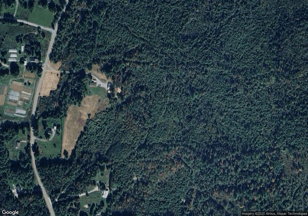
1742 Maple St Bethlehem, NH 03574
Estimated Value: $459,000 - $597,000
3
Beds
3
Baths
1,496
Sq Ft
$348/Sq Ft
Est. Value
About This Home
This home is located at 1742 Maple St, Bethlehem, NH 03574 and is currently estimated at $519,956, approximately $347 per square foot. 1742 Maple St is a home located in Grafton County with nearby schools including Bethlehem Elementary School, Profile Junior High School, and Profile Senior High School.
Create a Home Valuation Report for This Property
The Home Valuation Report is an in-depth analysis detailing your home's value as well as a comparison with similar homes in the area
Home Values in the Area
Average Home Value in this Area
Tax History Compared to Growth
Tax History
| Year | Tax Paid | Tax Assessment Tax Assessment Total Assessment is a certain percentage of the fair market value that is determined by local assessors to be the total taxable value of land and additions on the property. | Land | Improvement |
|---|---|---|---|---|
| 2024 | $5,434 | $316,307 | $59,407 | $256,900 |
| 2023 | $4,886 | $316,639 | $59,739 | $256,900 |
| 2022 | $4,359 | $182,478 | $32,778 | $149,700 |
| 2021 | $4,534 | $182,908 | $33,208 | $149,700 |
| 2020 | $4,619 | $183,309 | $33,409 | $149,900 |
| 2019 | $4,911 | $183,716 | $33,816 | $149,900 |
| 2018 | $4,761 | $183,335 | $33,435 | $149,900 |
| 2017 | $4,858 | $158,135 | $35,735 | $122,400 |
| 2016 | $4,344 | $158,193 | $35,793 | $122,400 |
| 2015 | $4,680 | $157,987 | $35,587 | $122,400 |
| 2013 | $4,539 | $158,980 | $36,580 | $122,400 |
Source: Public Records
Map
Nearby Homes
- 686 Wing Rd
- 0 Thorn Hill Rd Unit 22 5063258
- 61 Thorn Hill Rd
- 00 Swazey Ln Unit 14
- 00 Moose Trail Rd Unit 560000
- 16 3rd St
- 15 Okane Ave
- 14 Reid Cir
- O Main St
- 000 Ridge Rd
- 00 Ridge Rd
- 507 W Side Rd
- 2254 Main St
- 42 Maple St
- 28 Jodo Way
- 000 Ledgewood Dr Unit 9.8
- 289 Ledgewood Dr
- 99 Whitefield Rd
- 206 Lewis Hill Rd
- 105 Alpenhof Rd
