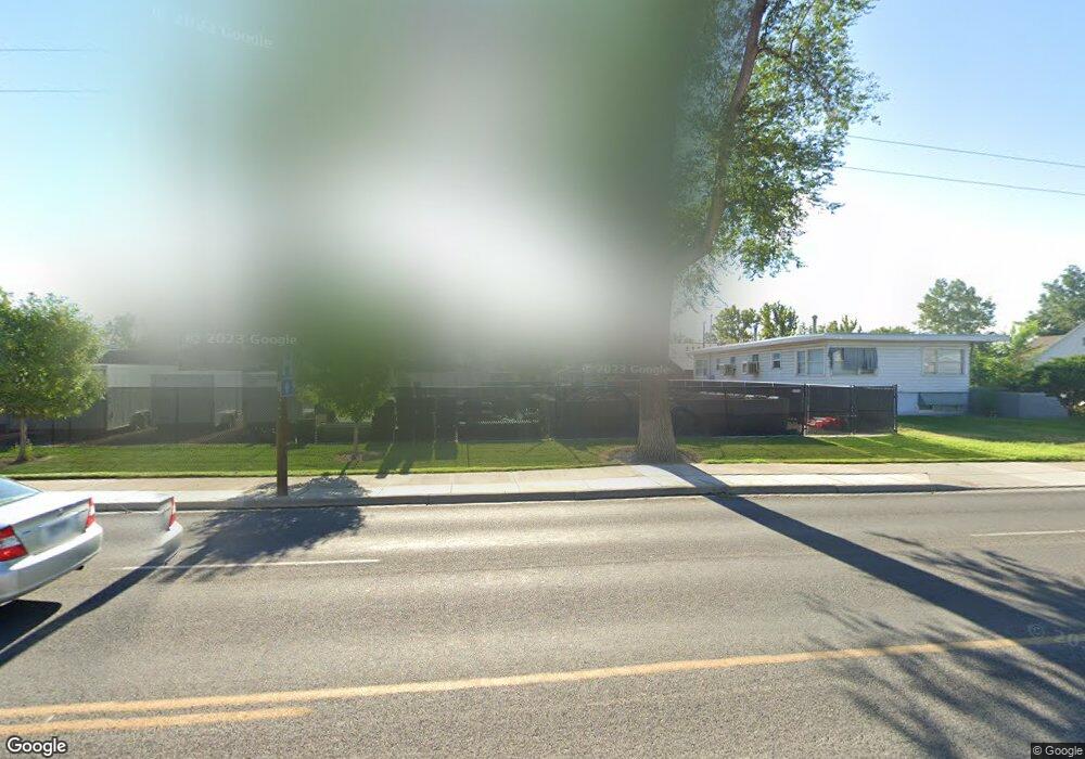
1742 N 7th St Grand Junction, CO 81501
Downtown Grand Junction NeighborhoodEstimated Value: $193,649
--
Bed
1
Bath
--
Sq Ft
10,019
Sq Ft Lot
About This Home
This home is located at 1742 N 7th St, Grand Junction, CO 81501 and is currently estimated at $193,649. 1742 N 7th St is a home located in Mesa County with nearby schools including Tope Elementary School, West Middle School, and Grand Junction High School.
Ownership History
Date
Name
Owned For
Owner Type
Purchase Details
Closed on
Sep 20, 2013
Sold by
Colorado Mesa University Real Estate Fou
Bought by
The State Of Colorado
Current Estimated Value
Purchase Details
Closed on
Oct 10, 2006
Sold by
Walker Lori B
Bought by
Walker Lori B and Walker Scott A
Home Financials for this Owner
Home Financials are based on the most recent Mortgage that was taken out on this home.
Original Mortgage
$150,000
Interest Rate
6.44%
Mortgage Type
New Conventional
Purchase Details
Closed on
Aug 21, 1998
Sold by
Deherrera Frank W Deherrera Christina R
Bought by
Walker Lori B
Home Financials for this Owner
Home Financials are based on the most recent Mortgage that was taken out on this home.
Original Mortgage
$82,000
Interest Rate
6.9%
Create a Home Valuation Report for This Property
The Home Valuation Report is an in-depth analysis detailing your home's value as well as a comparison with similar homes in the area
Home Values in the Area
Average Home Value in this Area
Purchase History
| Date | Buyer | Sale Price | Title Company |
|---|---|---|---|
| The State Of Colorado | -- | Land Title Guarantee Company | |
| Colorado Mesa University Real Estate Fou | $80,000 | Land Title Guarantee Company | |
| Walker Lori B | -- | None Available | |
| Walker Lori B | $129,000 | -- |
Source: Public Records
Mortgage History
| Date | Status | Borrower | Loan Amount |
|---|---|---|---|
| Previous Owner | Walker Lori B | $150,000 | |
| Previous Owner | Walker Lori B | $82,000 |
Source: Public Records
Tax History Compared to Growth
Tax History
| Year | Tax Paid | Tax Assessment Tax Assessment Total Assessment is a certain percentage of the fair market value that is determined by local assessors to be the total taxable value of land and additions on the property. | Land | Improvement |
|---|---|---|---|---|
| 2024 | -- | $33,540 | $33,540 | -- |
| 2023 | -- | $33,540 | $33,540 | $0 |
| 2022 | $0 | $23,240 | $23,240 | $0 |
| 2021 | $1,634 | $23,240 | $23,240 | $0 |
| 2020 | $1,510 | $23,240 | $23,240 | $0 |
| 2019 | $1,510 | $23,240 | $23,240 | $0 |
| 2018 | $0 | $3,240 | $3,240 | $0 |
| 2017 | $0 | $3,240 | $3,240 | $0 |
Source: Public Records
Map
Nearby Homes
- 1920 N 8th St
- 2020 N 6th St
- 465 Hall Ave
- 1924 N 5th St
- 444 N Sherwood Dr
- 2005 N 4th St
- 345 Walnut Ct
- 1907 N 3rd Ct
- 580 Bookcliff Ave Unit 5
- 1140 Walnut Ave Unit 37
- 2150 College Place Unit 13
- 341 Mcfarland Ct
- 181 Elm Ave
- 1156 Bookcliff Ave Unit 11
- 360 Belford Ave
- 1715 N 1st St
- 1270 Walnut Ave Unit A, B, C, D
- 537 Teller Ave
- 1290 Walnut Ave
- 2408 Patterson Rd
- 1752 N 7th St
- 1730 N 7th St
- 1806 N 7th St
- 1720 N 7th St
- 1737 N 8th St
- 1816 N 7th St
- 1727 N 8th St
- 1801 N 8th St
- 1725 N 7th St
- 1735 N 7th St
- 1805 N 8th St
- 1815 N 8th St
- 1828 N 7th St
- 1825 N 8th St
- 1715 N 7th St
- 723 Orchard Ave Unit N
- 723 Orchard Ave
- 1842 N 7th St
- 0 Hall Ave Unit 760650
- 0 Hall Ave Unit 611861