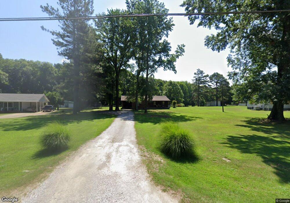
1742 Tate Rd Drummonds, TN 38023
Estimated Value: $207,811 - $258,000
Studio
2
Baths
1,340
Sq Ft
$175/Sq Ft
Est. Value
About This Home
This home is located at 1742 Tate Rd, Drummonds, TN 38023 and is currently estimated at $234,953, approximately $175 per square foot. 1742 Tate Rd is a home located in Tipton County with nearby schools including Drummonds Elementary School, Munford Middle School, and Munford High School.
Ownership History
Date
Name
Owned For
Owner Type
Purchase Details
Closed on
Aug 24, 2017
Sold by
Carter James R
Bought by
Carter James R
Current Estimated Value
Purchase Details
Closed on
Apr 15, 2002
Sold by
Arthur John D
Bought by
Carter James R
Home Financials for this Owner
Home Financials are based on the most recent Mortgage that was taken out on this home.
Original Mortgage
$92,766
Interest Rate
6.8%
Purchase Details
Closed on
May 1, 2000
Sold by
Walsh Patrick J
Bought by
Arthur John D
Purchase Details
Closed on
May 7, 1992
Bought by
Walsh Patrick J
Purchase Details
Closed on
Apr 9, 1991
Bought by
Walsh Patrick J and Walsh Judith S
Purchase Details
Closed on
Mar 4, 1991
Purchase Details
Closed on
Jan 27, 1987
Bought by
Parker Robert Scott and Betty Zayne
Create a Home Valuation Report for This Property
The Home Valuation Report is an in-depth analysis detailing your home's value as well as a comparison with similar homes in the area
Home Values in the Area
Average Home Value in this Area
Purchase History
| Date | Buyer | Sale Price | Title Company |
|---|---|---|---|
| Carter James R | -- | -- | |
| Carter James R | $93,500 | -- | |
| Arthur John D | $89,000 | -- | |
| Walsh Patrick J | -- | -- | |
| Walsh Patrick J | $61,500 | -- | |
| -- | $64,000 | -- | |
| Parker Robert Scott | -- | -- |
Source: Public Records
Mortgage History
| Date | Status | Borrower | Loan Amount |
|---|---|---|---|
| Previous Owner | Parker Robert Scott | $92,766 |
Source: Public Records
Tax History
| Year | Tax Paid | Tax Assessment Tax Assessment Total Assessment is a certain percentage of the fair market value that is determined by local assessors to be the total taxable value of land and additions on the property. | Land | Improvement |
|---|---|---|---|---|
| 2025 | $598 | $39,275 | $6,350 | $32,925 |
| 2024 | $598 | $39,275 | $6,350 | $32,925 |
| 2023 | $598 | $39,275 | $6,350 | $32,925 |
| 2022 | $563 | $27,575 | $4,675 | $22,900 |
| 2021 | $563 | $27,575 | $4,675 | $22,900 |
| 2020 | $562 | $27,575 | $4,675 | $22,900 |
| 2019 | $499 | $20,600 | $3,975 | $16,625 |
| 2018 | $493 | $20,600 | $3,975 | $16,625 |
| 2017 | $493 | $20,375 | $3,975 | $16,400 |
| 2016 | $493 | $20,375 | $3,975 | $16,400 |
| 2015 | $492 | $20,375 | $3,975 | $16,400 |
| 2014 | $493 | $20,383 | $0 | $0 |
Source: Public Records
Map
Nearby Homes
- 0 Susan's Cir Unit 10212417
- 1515 Wilkinsville Rd
- 0 Barnett Bluff Rd
- 218 Cedar Point Rd
- 4366 Campground Rd
- Cash Rd
- 601 Pine Ln
- 30 Kight Rd
- 544 Rachel Shankle Dr
- 225 Poplar Grove Church Rd
- 0 Campground Rd
- 471 Milton Rd
- 8508 Campground Rd
- 05 Richardson Landing Rd
- 155 Pwr Loop
- 0 Appleberry Rd
- 400 Whippoorwill Cir
- 0 Richardson Landing Rd Unit 10207422
- 138 Gayden Dr
- 1245 Drummonds Rd