17429 Coffin Rd Leavenworth, KS 66048
Estimated Value: $287,000 - $426,000
4
Beds
2
Baths
1,664
Sq Ft
$204/Sq Ft
Est. Value
About This Home
This home is located at 17429 Coffin Rd, Leavenworth, KS 66048 and is currently estimated at $338,805, approximately $203 per square foot. 17429 Coffin Rd is a home located in Leavenworth County with nearby schools including Pleasant Ridge Elementary School, Pleasant Ridge Middle School, and Pleasant Ridge High School.
Ownership History
Date
Name
Owned For
Owner Type
Purchase Details
Closed on
Jan 16, 2020
Sold by
Hund David W and Hund Jane E
Bought by
Hund Family Living Trust
Current Estimated Value
Purchase Details
Closed on
Jul 1, 2001
Bought by
Hund David Wendell and Hund Jane Ellen
Home Financials for this Owner
Home Financials are based on the most recent Mortgage that was taken out on this home.
Original Mortgage
$94,800
Interest Rate
7.11%
Mortgage Type
New Conventional
Create a Home Valuation Report for This Property
The Home Valuation Report is an in-depth analysis detailing your home's value as well as a comparison with similar homes in the area
Home Values in the Area
Average Home Value in this Area
Purchase History
| Date | Buyer | Sale Price | Title Company |
|---|---|---|---|
| Hund Family Living Trust | -- | None Listed On Document | |
| Hund David Wendell | $104,000 | -- |
Source: Public Records
Mortgage History
| Date | Status | Borrower | Loan Amount |
|---|---|---|---|
| Previous Owner | Hund David Wendell | $94,800 | |
| Closed | Hund David Wendell | $28,000 |
Source: Public Records
Tax History Compared to Growth
Tax History
| Year | Tax Paid | Tax Assessment Tax Assessment Total Assessment is a certain percentage of the fair market value that is determined by local assessors to be the total taxable value of land and additions on the property. | Land | Improvement |
|---|---|---|---|---|
| 2025 | $2,769 | $29,258 | $7,078 | $22,180 |
| 2024 | $2,710 | $28,133 | $6,599 | $21,534 |
| 2023 | $2,710 | $27,313 | $6,599 | $20,714 |
| 2022 | $2,424 | $24,368 | $5,652 | $18,716 |
| 2021 | $2,308 | $22,478 | $4,773 | $17,705 |
| 2020 | $2,186 | $21,206 | $4,591 | $16,615 |
| 2019 | $2,049 | $19,849 | $4,246 | $15,603 |
| 2018 | $1,917 | $18,619 | $3,326 | $15,293 |
| 2017 | $1,878 | $18,181 | $3,129 | $15,052 |
| 2016 | $1,814 | $17,550 | $3,096 | $14,454 |
| 2015 | $1,749 | $16,827 | $3,096 | $13,731 |
| 2014 | $1,688 | $16,337 | $3,096 | $13,241 |
Source: Public Records
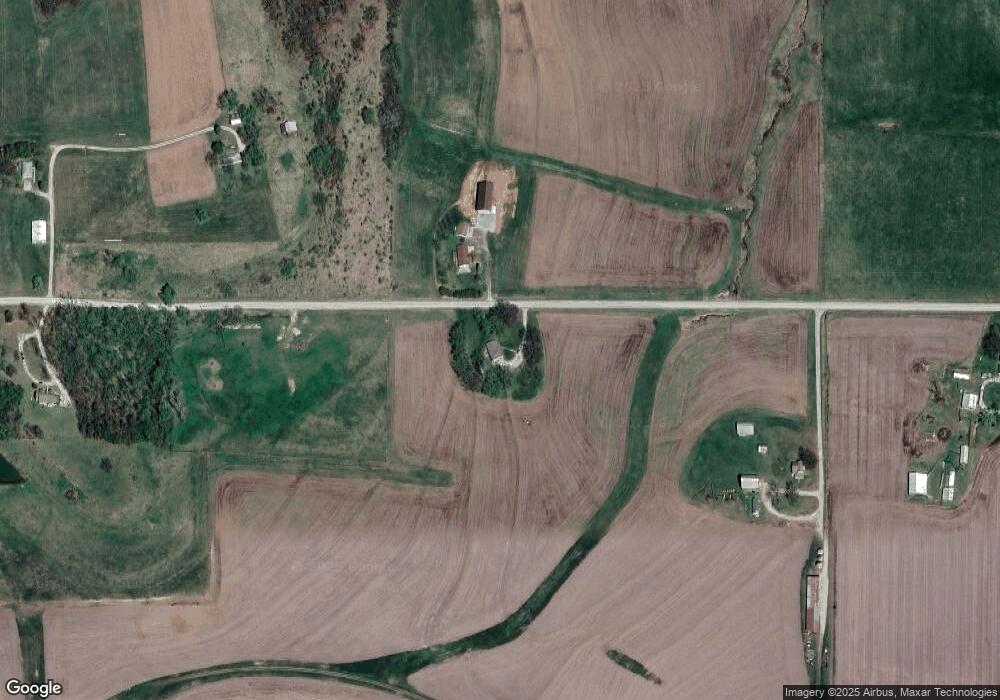
Map
Nearby Homes
- 33931 167th St
- 16321 Hildebrandt Rd
- 16425 Fort Riley Rd
- 17051 Mount Olivet Rd
- 18750 Chmidling Dr
- 34903 195th St
- 2017 Metropolitan Ave
- 20513 Lowemont Rd
- 000000 195th St
- 0 195th St
- 1844 Ottawa St
- 1927 Pottawatomie St
- 1611 Kiowa St
- 1051 N 16th St
- 1335 Cheyenne St
- 1706 Ottawa St
- 1428 Kiowa St
- 1416 Kiowa St
- 1503 Kiowa St
- 1306 Pawnee St
- 17450 Coffin Rd
- 17303 Coffin Rd
- 17657 Coffin Rd
- 17201 Coffin Rd
- 17654 Coffin Rd
- 33225 171st St
- 0 Coffin Rd Unit 1655913
- 0 Coffin Rd Unit 1725162
- 17777 Coffin Rd
- 17890 Coffin Rd
- 33379 179th St
- 17602 Millwood Rd
- 17733 Millwood Rd
- Lot 2 171st St
- Lot 3 171st St
- Lot 1 171st St
- 32751 171st St
- 33375 179th St
- 32577 171st St
- 17620 Millwood Rd