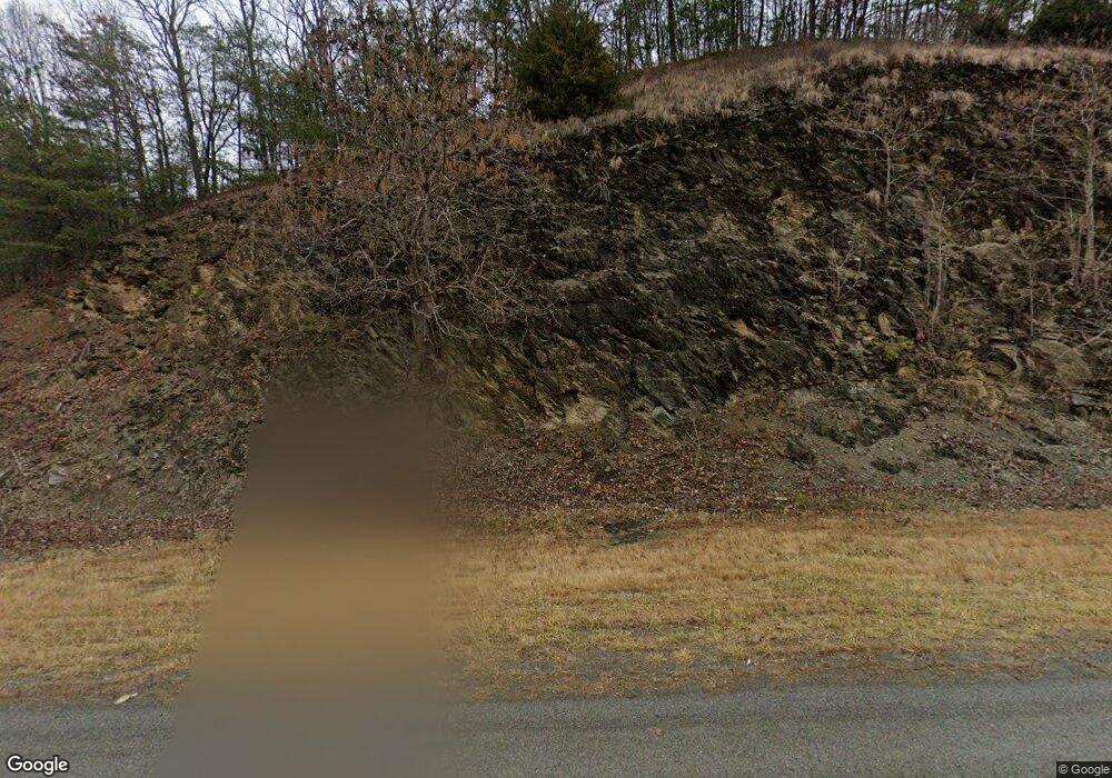
1743 Highway 19 E Elizabethton, TN 37643
Estimated Value: $162,572 - $216,000
--
Bed
1
Bath
960
Sq Ft
$190/Sq Ft
Est. Value
About This Home
This home is located at 1743 Highway 19 E, Elizabethton, TN 37643 and is currently estimated at $182,643, approximately $190 per square foot. 1743 Highway 19 E is a home located in Carter County.
Ownership History
Date
Name
Owned For
Owner Type
Purchase Details
Closed on
Jun 2, 2025
Sold by
Hagy David L and Hagy Lora A
Bought by
Hagy David L and Hagy Lora A
Current Estimated Value
Purchase Details
Closed on
Jun 11, 1996
Sold by
Carter Doris
Bought by
Hagy David
Purchase Details
Closed on
Dec 8, 1994
Bought by
Carter Doris
Purchase Details
Closed on
Apr 14, 1994
Bought by
Carter Floyd J
Purchase Details
Closed on
Dec 15, 1983
Bought by
Carter Floyd J and Carter Irene
Purchase Details
Closed on
Dec 7, 1946
Create a Home Valuation Report for This Property
The Home Valuation Report is an in-depth analysis detailing your home's value as well as a comparison with similar homes in the area
Home Values in the Area
Average Home Value in this Area
Purchase History
| Date | Buyer | Sale Price | Title Company |
|---|---|---|---|
| Hagy David L | -- | None Listed On Document | |
| Hagy David | $45,000 | -- | |
| Carter Doris | $15,000 | -- | |
| Carter Floyd J | $29,900 | -- | |
| Carter Floyd J | -- | -- | |
| -- | -- | -- |
Source: Public Records
Tax History Compared to Growth
Tax History
| Year | Tax Paid | Tax Assessment Tax Assessment Total Assessment is a certain percentage of the fair market value that is determined by local assessors to be the total taxable value of land and additions on the property. | Land | Improvement |
|---|---|---|---|---|
| 2024 | $630 | $28,900 | $12,825 | $16,075 |
| 2023 | $630 | $28,900 | $0 | $0 |
| 2022 | $587 | $28,900 | $12,825 | $16,075 |
| 2021 | $587 | $28,900 | $12,825 | $16,075 |
| 2020 | $558 | $24,350 | $11,225 | $13,125 |
| 2019 | $558 | $22,600 | $11,225 | $11,375 |
| 2018 | $558 | $22,600 | $11,225 | $11,375 |
| 2017 | $558 | $22,600 | $11,225 | $11,375 |
| 2016 | $493 | $22,600 | $11,225 | $11,375 |
| 2015 | $493 | $20,125 | $11,225 | $8,900 |
| 2014 | $492 | $20,075 | $11,200 | $8,875 |
Source: Public Records
Map
Nearby Homes
- 1830 Bristol Hwy
- 301 Keenburg Rd
- 361 Malone Rd
- 1124 Elizabethton Hwy
- 1295 U S 19e
- 313 Richards Ln
- 542 Sigman Hollow Rd
- 404 Pine Hill Rd
- 18/Ac Tbd Thompson Hollow Rd
- 169 Mays Rd
- 373 Old Watauga Rd
- 263 Rocky Branch Rd
- 176 Wade Bulla Rd
- 103 Commodore Ave
- 748 Cripple Creek Rd
- 229 Taylor Ave Unit 3
- Tbd Lick Creek Rd
- 143 Massey St
- 111 Rosewood Cir
- 190 Hilton Hill Rd
- 1694 Highway 19 E
- 1694 U S 19e
- 1688 Highway 19 E
- 1688 U S 19e
- 1680 Highway 19 E
- 1680 U S 19e
- 1666 Highway 19 E
- 1684 Highway 19 E
- 1660 Highway 19 E
- 172 Indian Creek Rd
- 167 Indian Creek Rd
- 170 Indian Creek Rd
- 814 Bunker Hill Rd
- 168 Indian Creek Rd
- 1638 Highway 19 E
- 166 Indian Creek Rd
- 153 Indian Creek Rd
- 162 Indian Creek Rd
- 267 Brown Rd
- 752 Bunker Hill Rd
